[no_toc]
It might be on our doorstep and we have been a few times but it’s been 10 years since we have visited the 12 Apostles (now only 9), Loch Ard Gorge and the like, basically anything past the Great Otways National Park!
We decided we would spend the ANZAC Day long weekend driving one of Victoria’s top tourist attractions and base ourselves in Apollo Bay for two nights. The 243 kilometer stretch from Torquay to Allansford, near Warnambool, built by returning soldiers from World War 1 is one of the world’s top 10 scenic drives. The journey takes you along a windy road hugging coastline packed with rainforest, waterfalls, stunning beaches, quaint seaside towns, wildlife, sculptured limestone and sandstone cliffs and gorges.
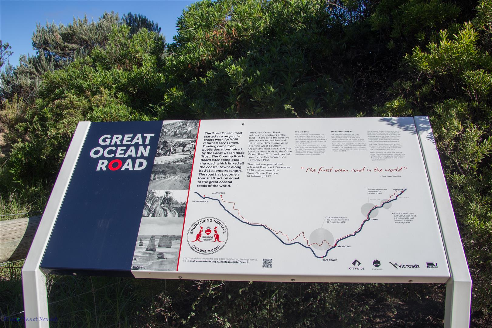
With only three days and so much to see we only had time to go as far as Port Campbell but the stretch between Torquay and Port Campbell is the most interesting and most visited.
Day 1 – Torquay to Apollo Bay
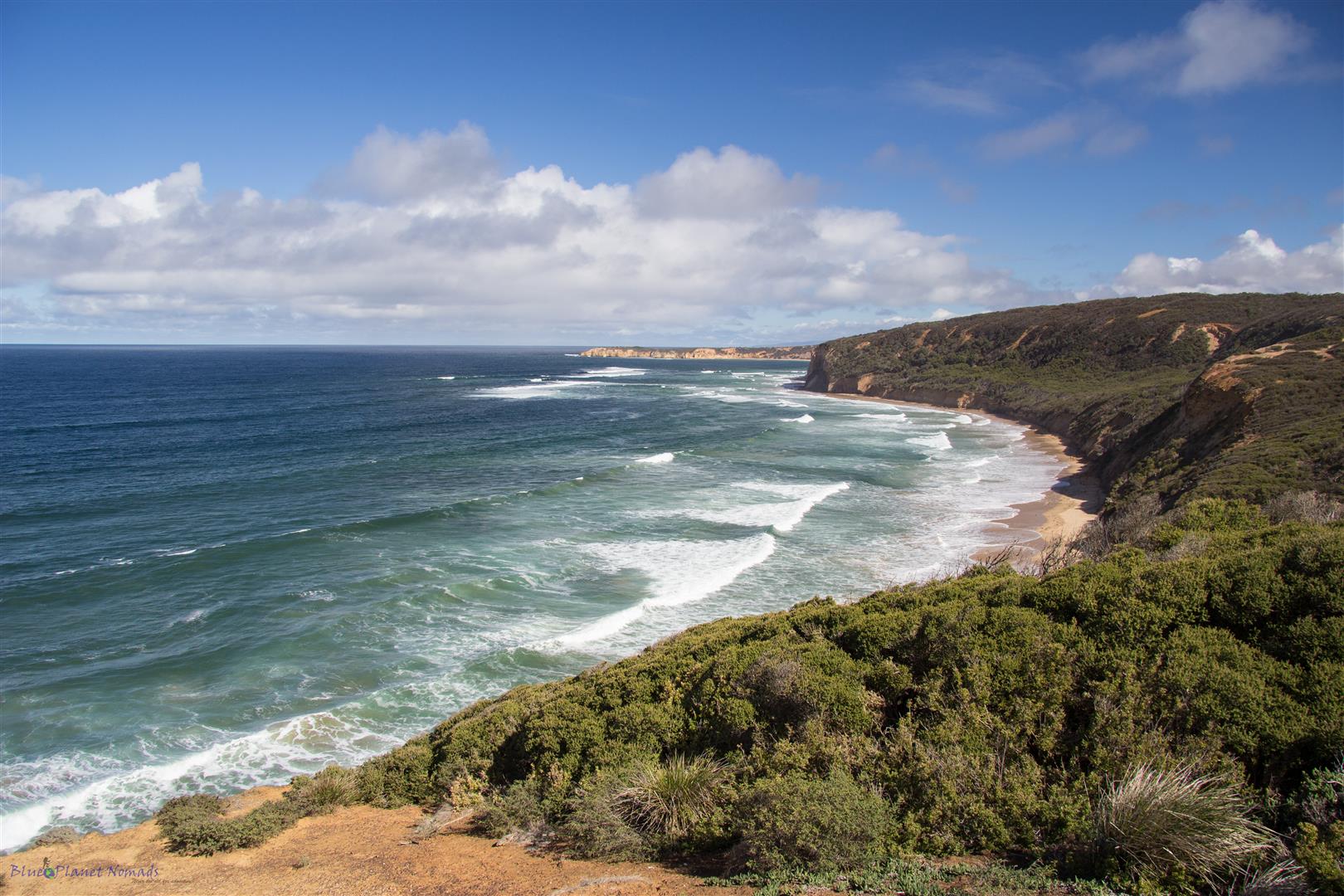
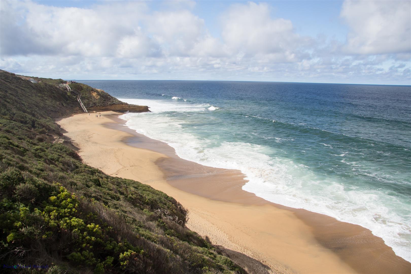
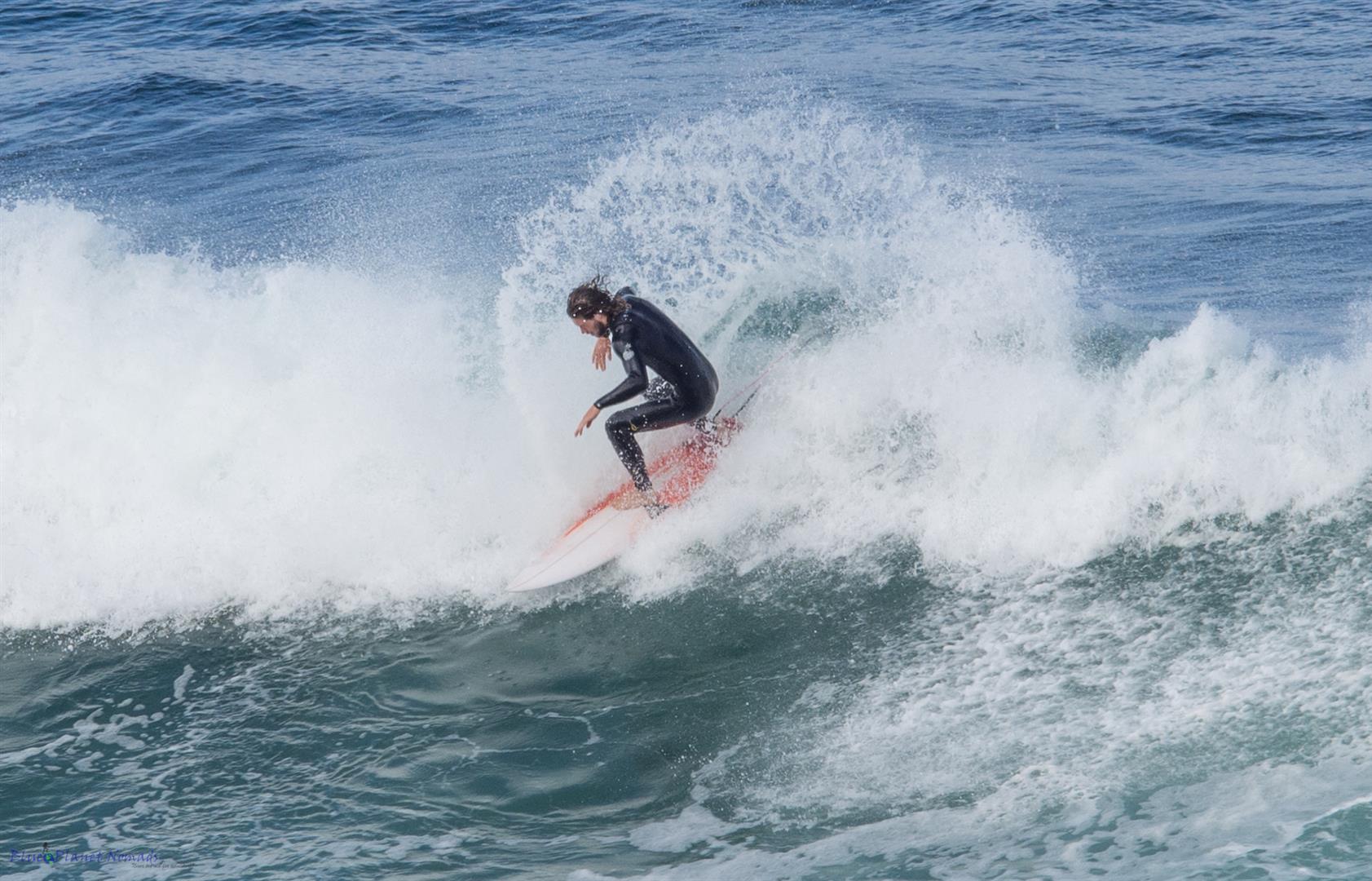
Setting off on a Saturday morning, our first stop was Torquay, the Surf Capital of Victoria and the home to the famous Bells Beach as well as the birthplace to the well known surf brands – Rip Curl and Quiksilver. The small township’s shopping Surf City Plaza precinct is dominated by the big name sports brands and surf wear and if you really are into surfing then you can check out the Surf World Museum. Bells Beach is the venue for the annual Rip Curl Pro Surf Championships, one of the most sought after titles on the World Championship Tour. Today was a pleasant sunny day, with not much wind so the big surf wasn’t really happening but it didn’t stop the “dedicated” getting out and catching waves even if they were minuscule! We stopped and watched them for a while before moving on to other viewpoints along the different coves.
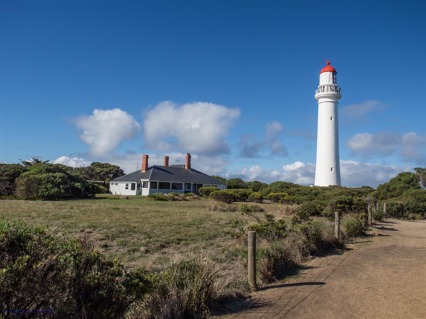
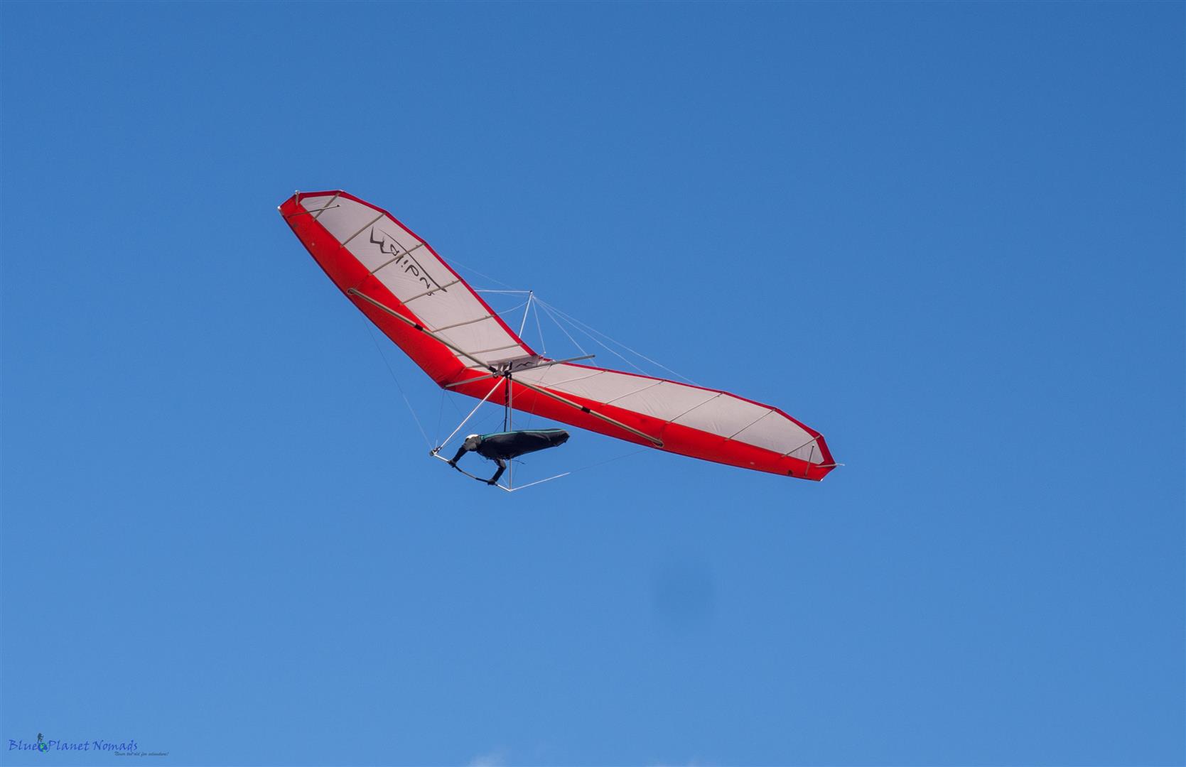
Continuing on our way we passed through the small town of Anglesea to Aireys Inlet where we visited the Split Point Lighthouse (also affectionately known as ‘The White Queen’). The easy stroll up to its base rewards you with lovely views over Bass Straight. Tours are available inside the lighthouse with a climb of 132 stairs from bottom to the top. The beaches here in Aireys Inlet are safe and very charming, the cliff tops are also popular for hang gliders of which we were lucky to see one close to the lighthouse.
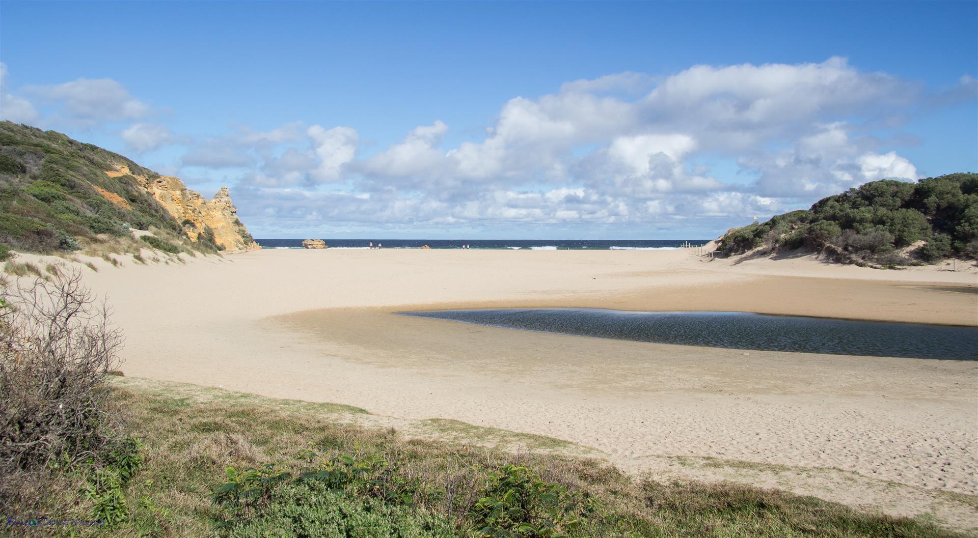
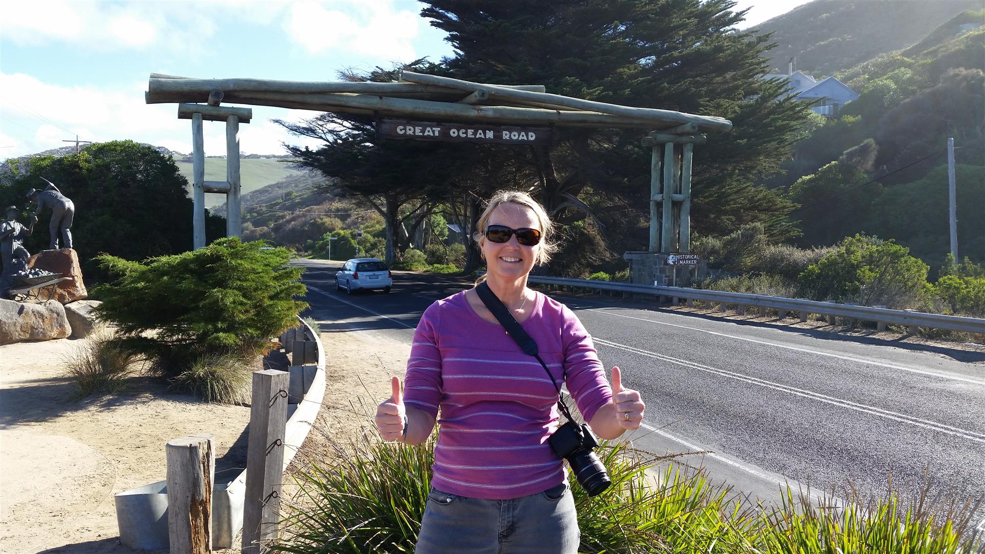
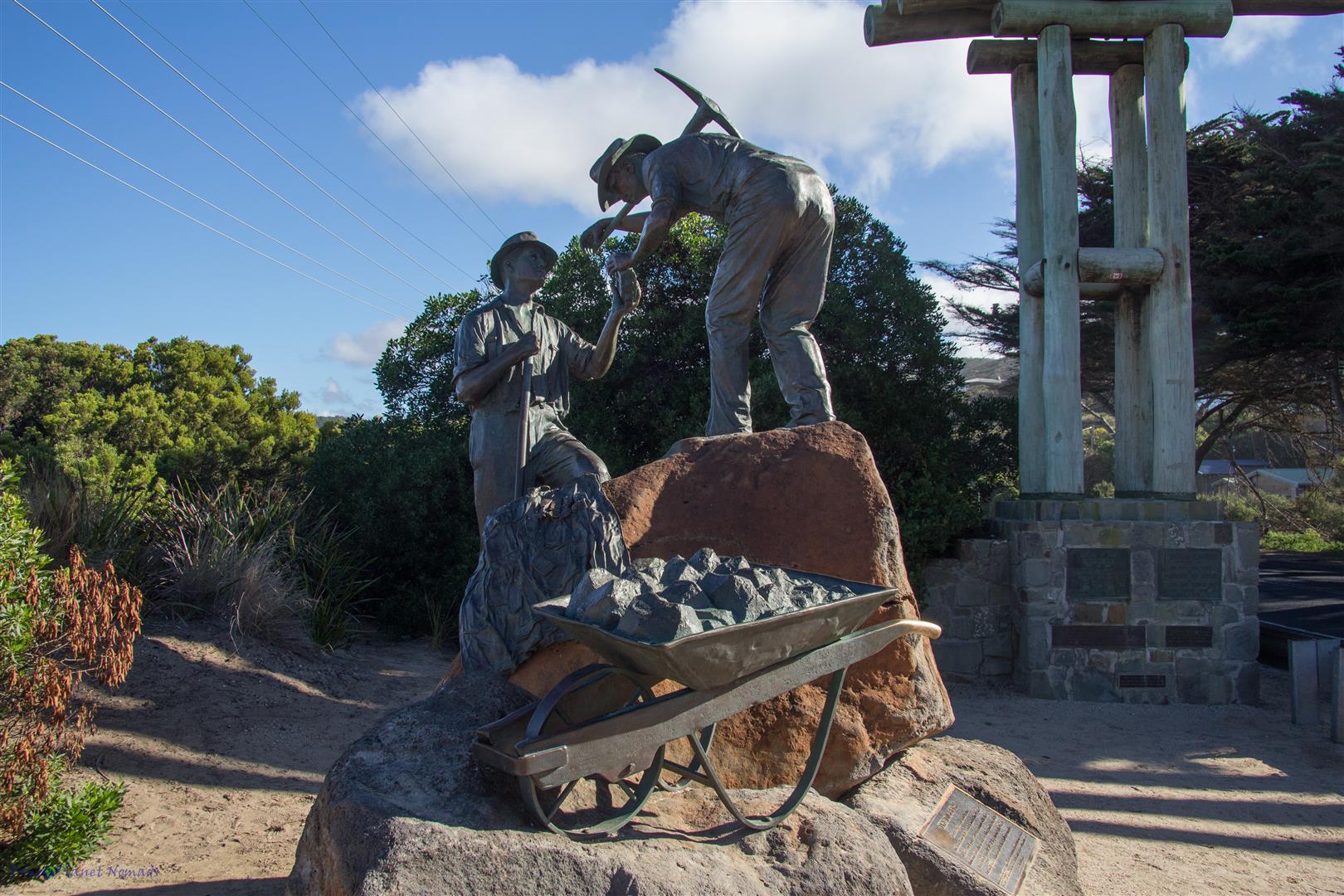
Continuing on, the coast line starts to become less flat and more hilly. A must stop is the ‘Memorial Arch’ which is a tribute to the World War One servicemen who built the Great Ocean Road. Of course you have to take a photo of yourself in front of the arch but also there is some interesting information to read on the building of the road as well as a memorial bronze statue of two servicemen.
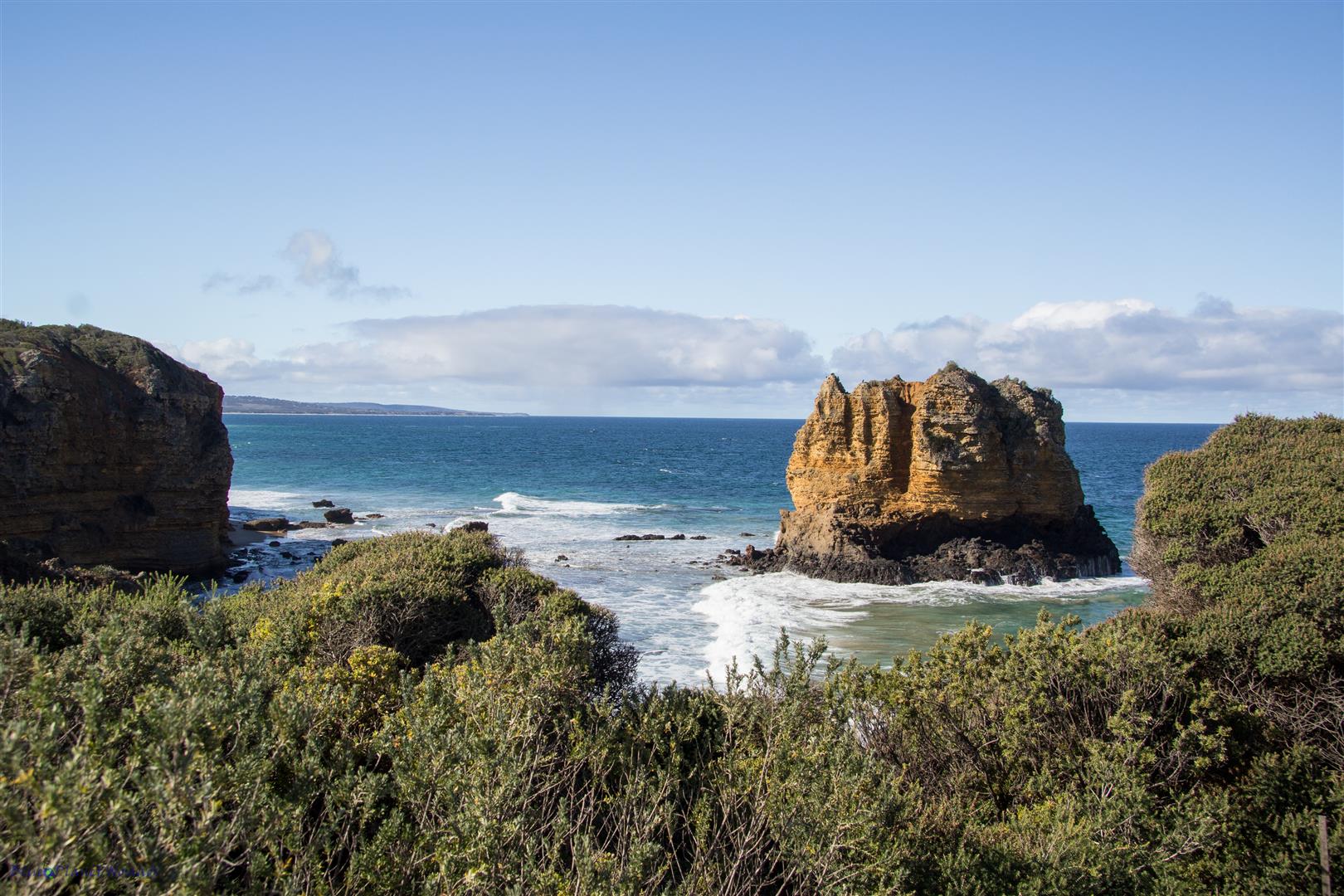
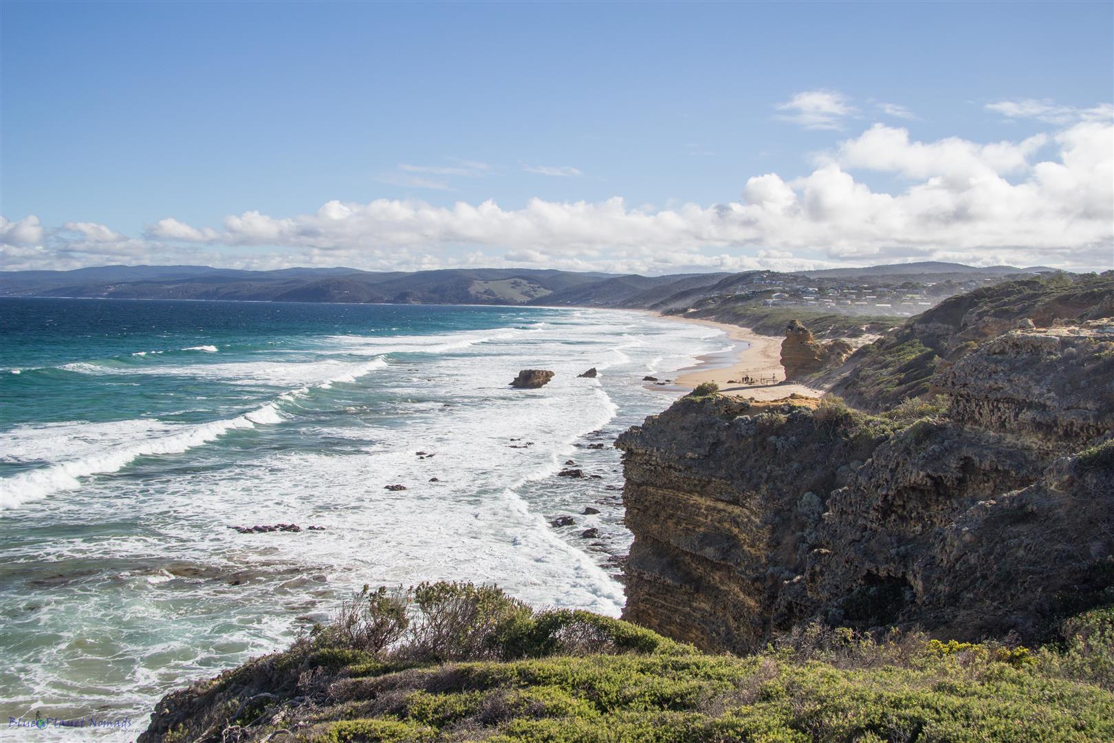
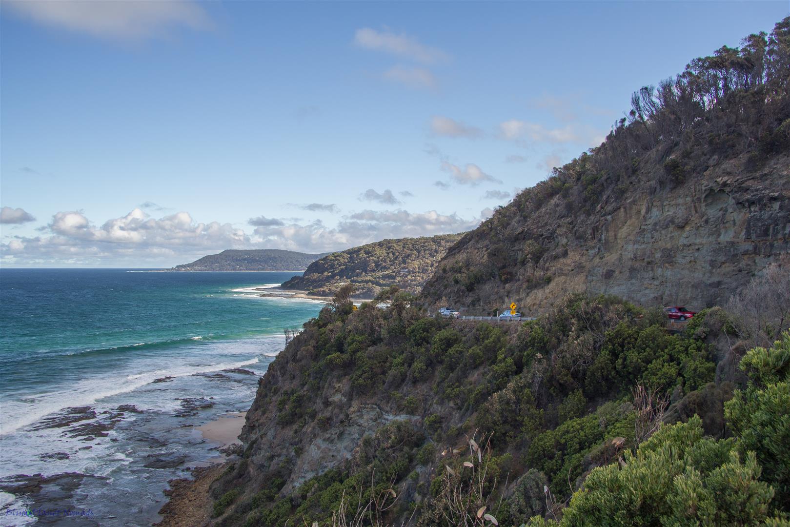
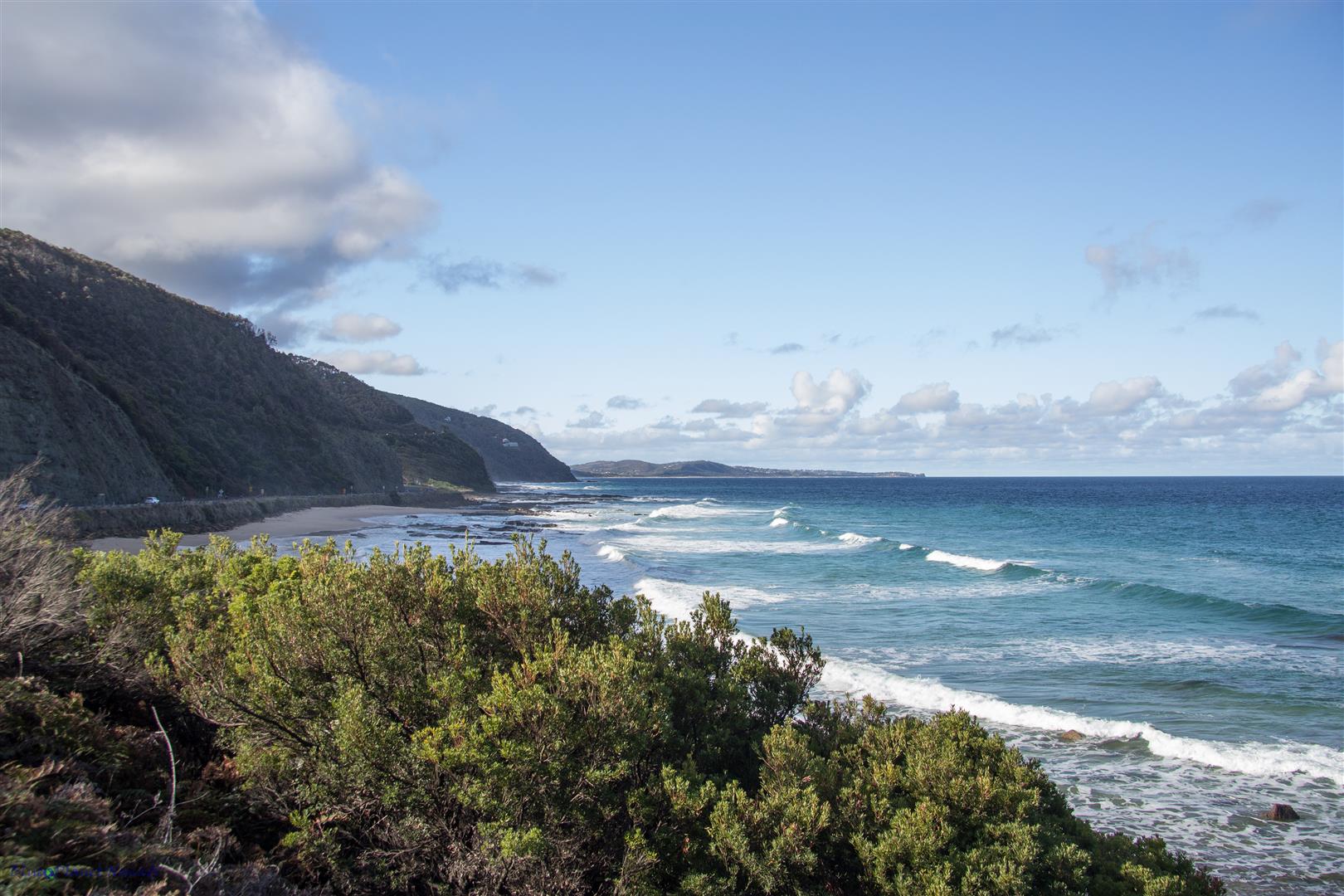
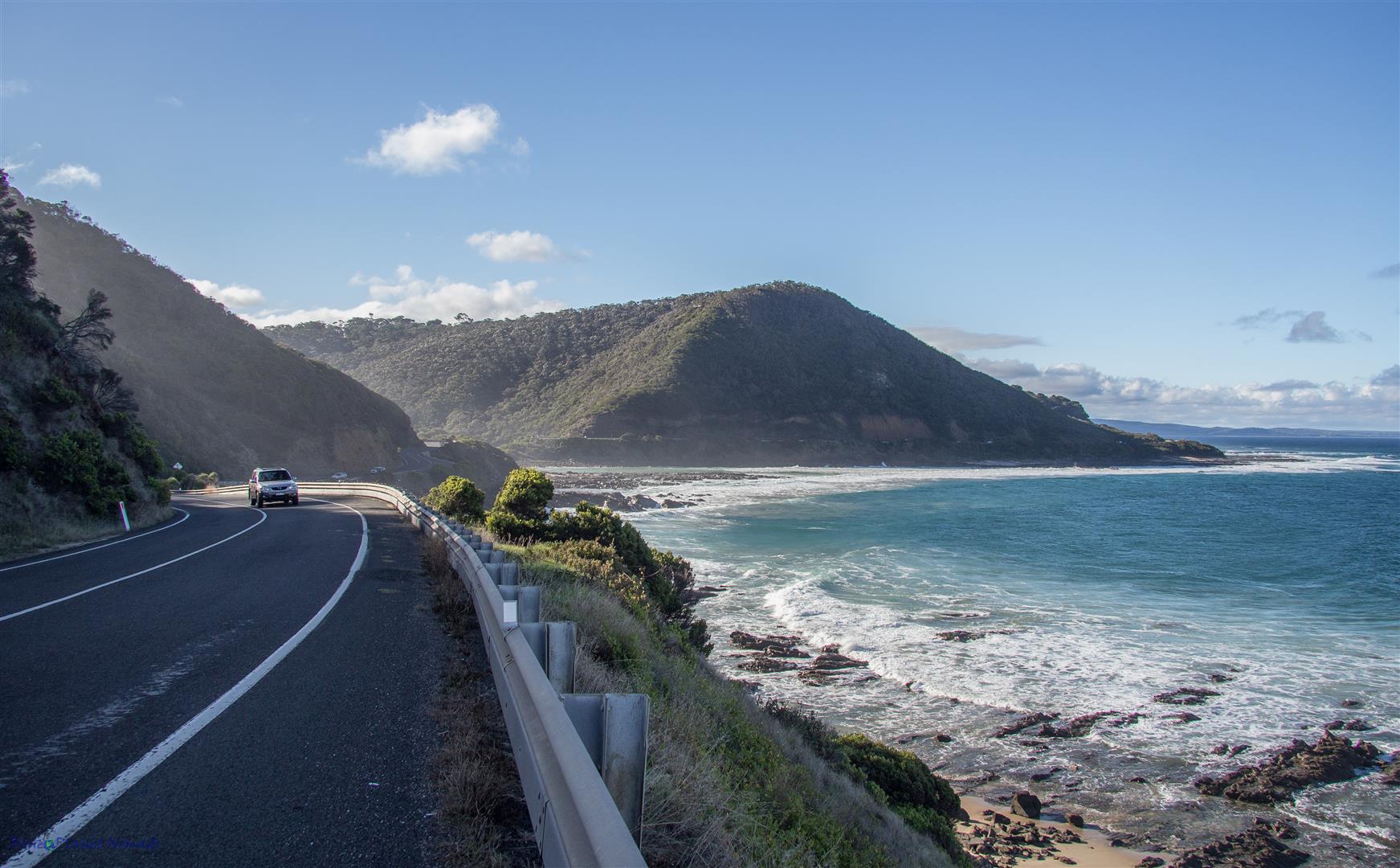
Once you pass the memorial the road begins to snake its way around the coast rewarding you with amazing coastline scenery and plenty of opportunities for stops at the designated pull-ins to snap photos of the scenic coastline. Sometimes the road wound inland through some impressive eucalyptus forest before rejoining the coast.
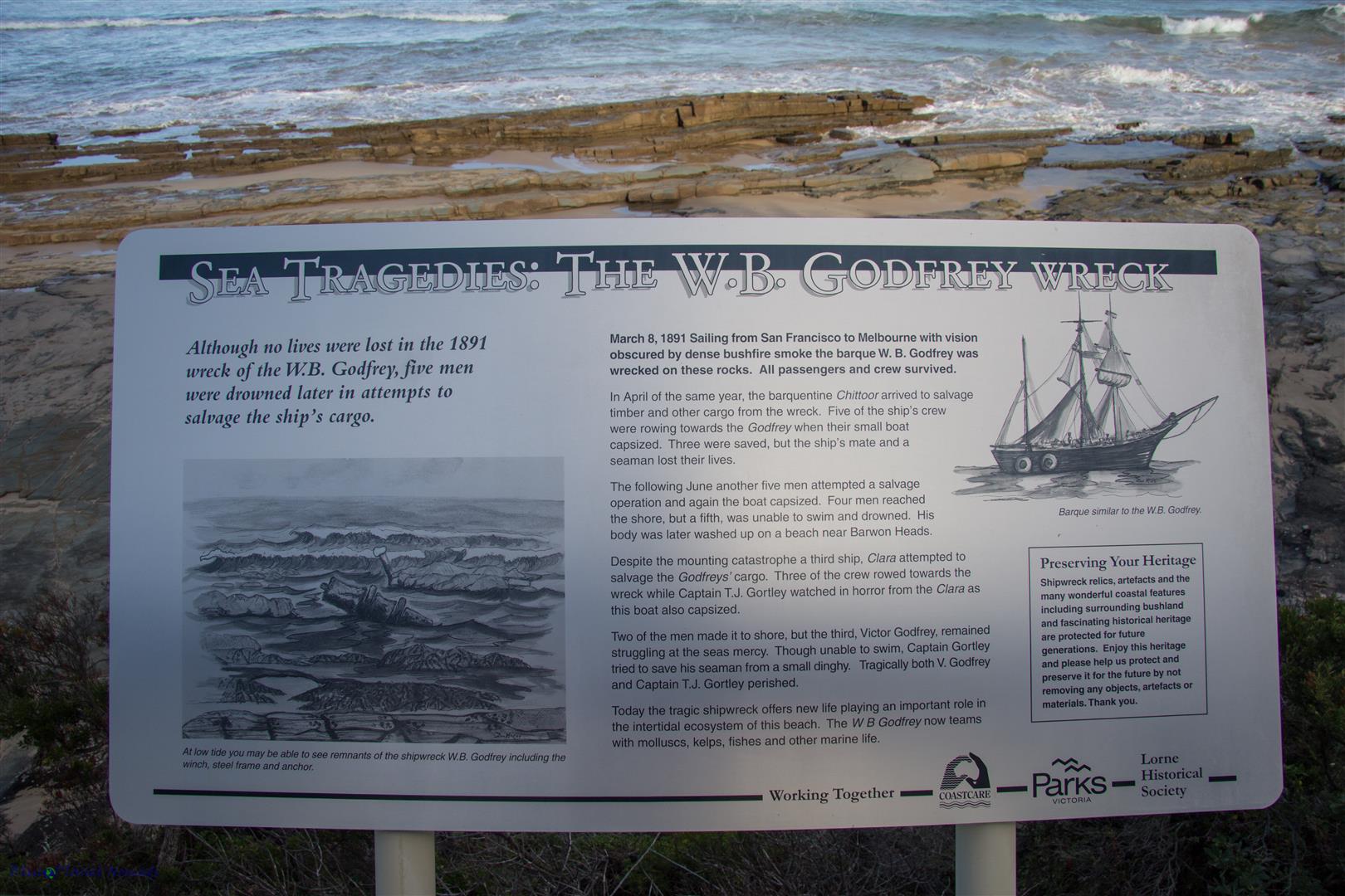
We made a couple of interesting stops. The first was at the site of the W.B Godfrey wreck which dates back to the late 1800’s. From the lookout we could see remnants of the wreck poking out the water as we were there at low tide.
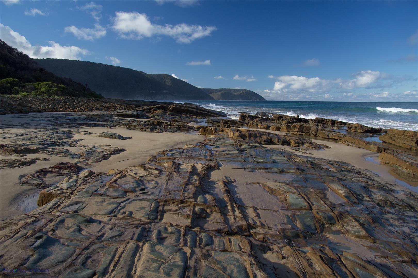
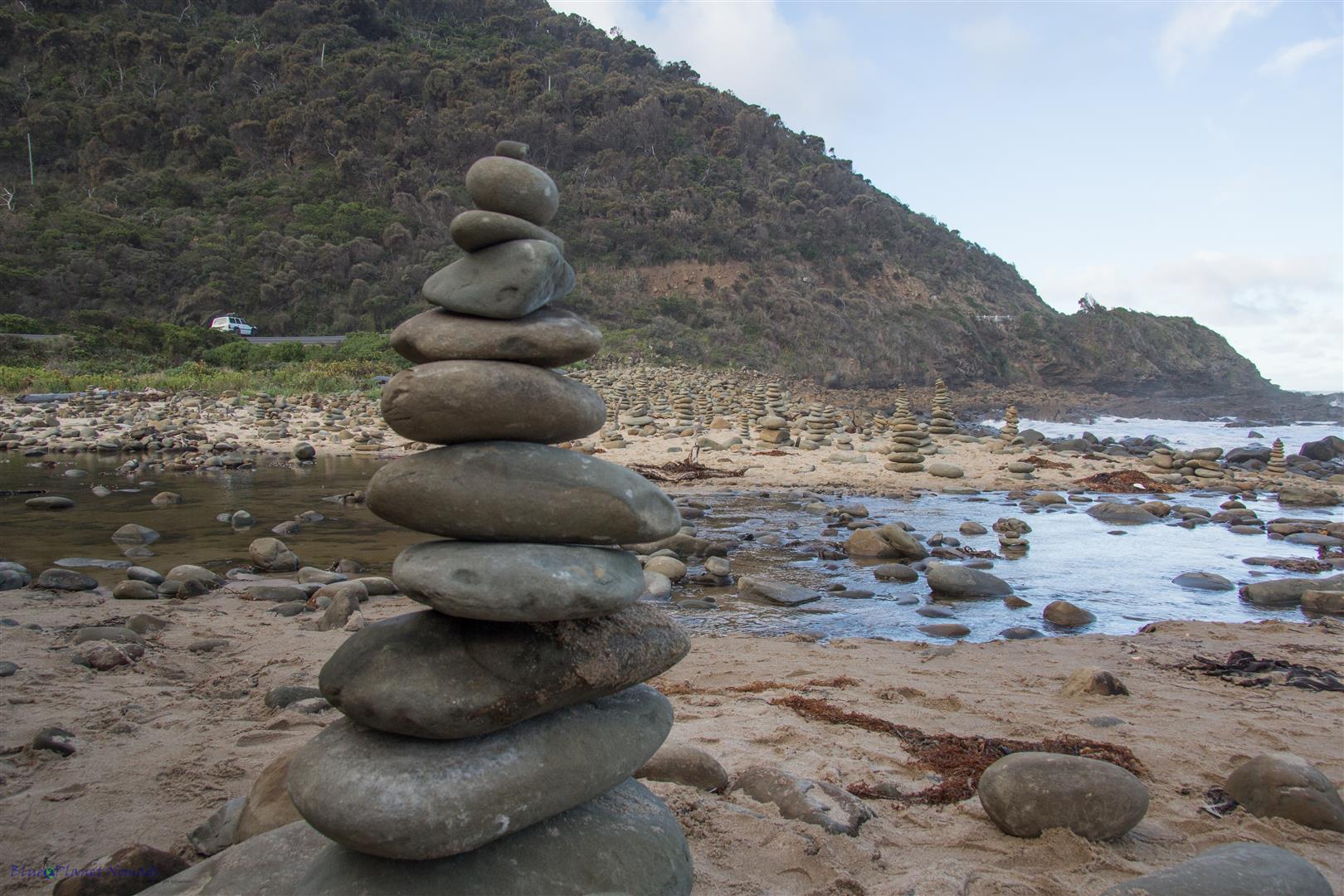
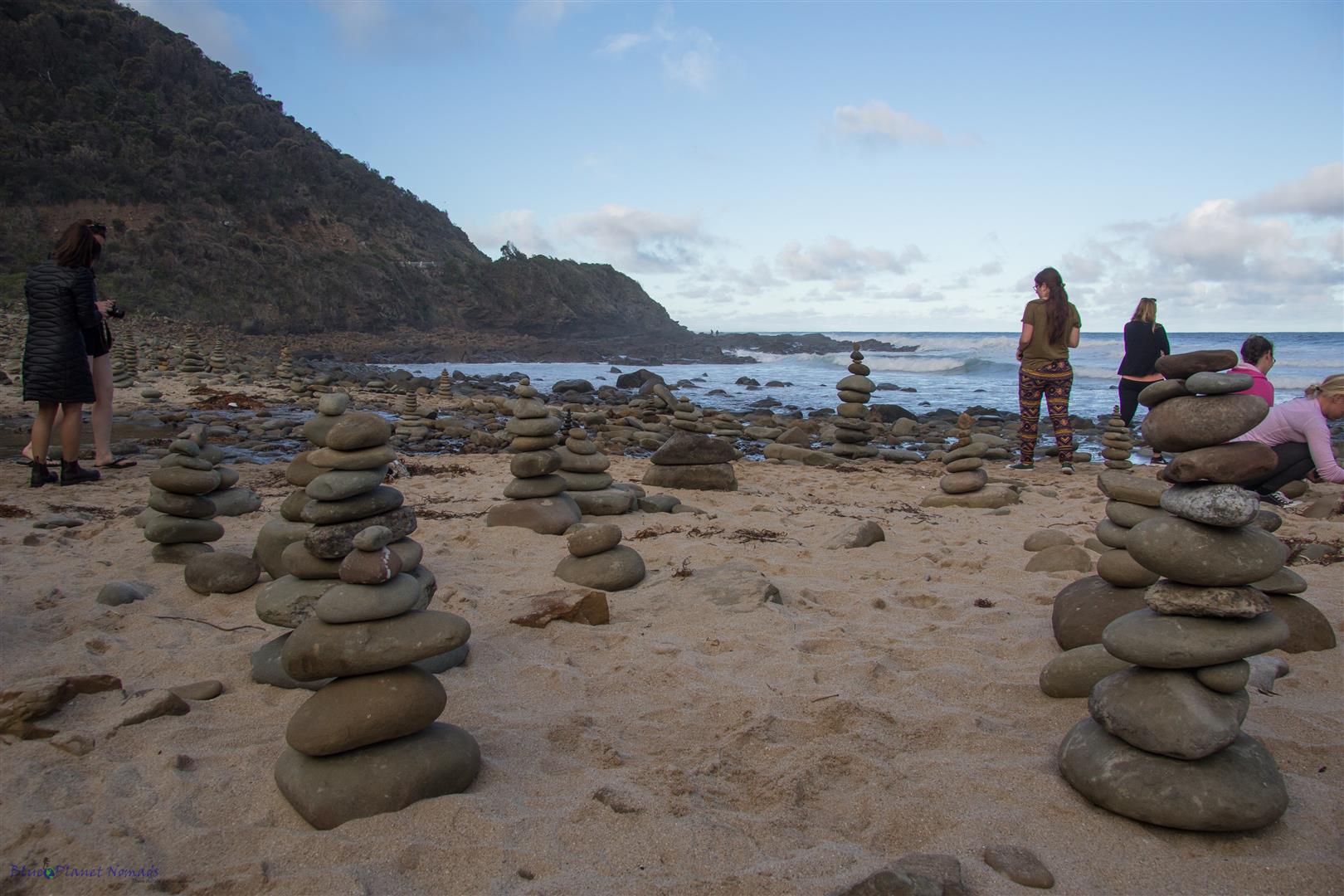
The second stop was a beach covered in an impressive number of rock piles. Someone had obviously started the trend and as new visitors pass they have added more and more. We were not alone among this spectacle it seem to be quite a drawcard for other tourists too that were passing by. A young Canadian backpacker asked me what they call them in Australia, I simply replied “rock piles!” I know for a fact that in Canada they go by the name “Inukshuk”
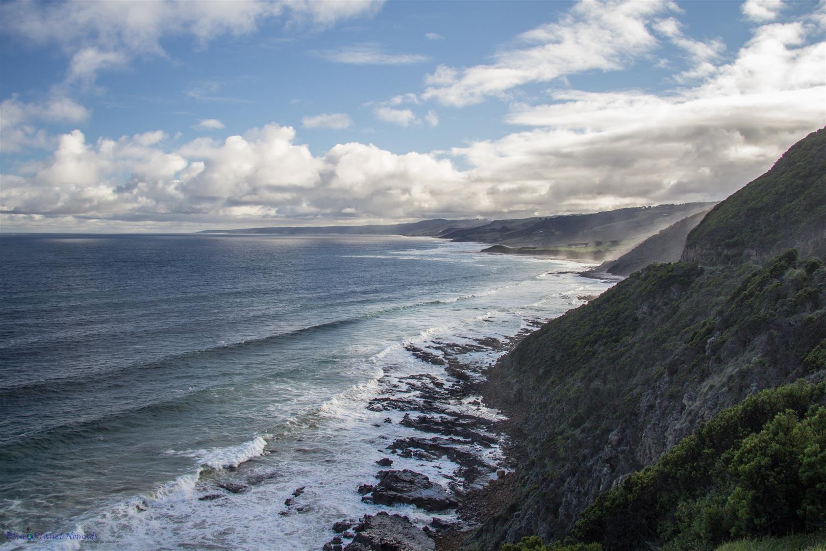
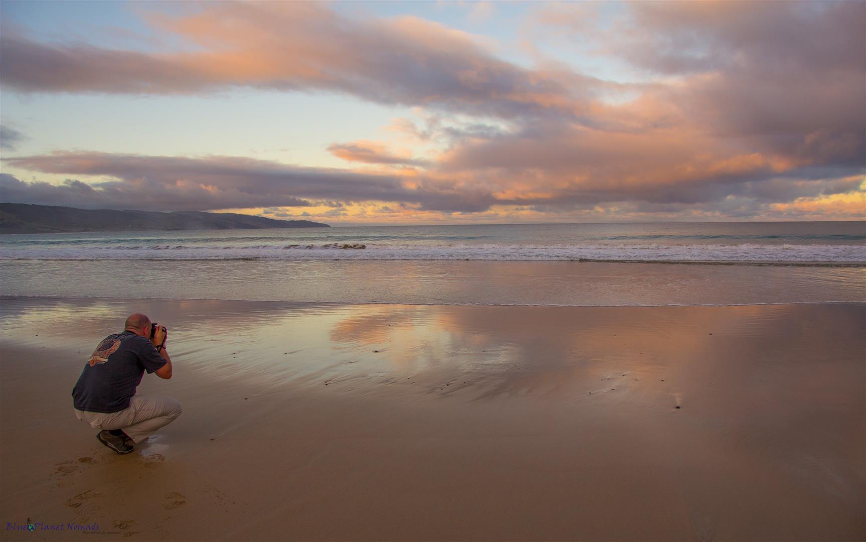
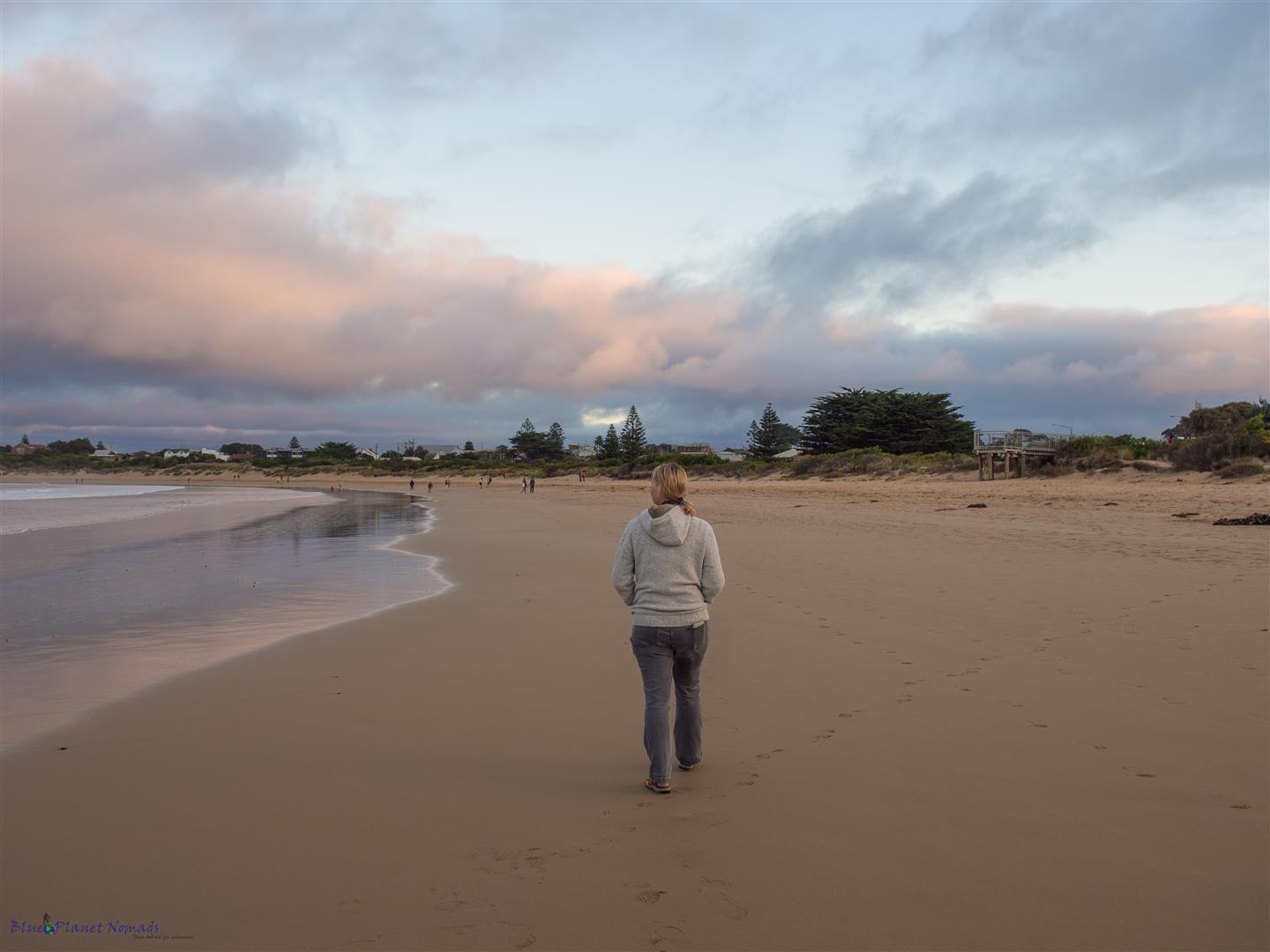
It was late afternoon by the time we passed through the popular holiday town of Lorne which was busy with tourists. However, we continued on following the coastline to Apollo Bay. Like Lorne, Apollo Bay is a popular tourist town with plenty of accommodation choices, restaurants, cafes, pubs and boutique shops. We stayed in the Coastal Motel right across the road from the beach. Before checking in though we visited the supermarket to get some supplies as we had a room with a kitchen. Well, it turned out to be a “kitchenette” with a fridge and microwave, not much good if you want to cook pasta. (doh!) At least we had a BBQ outside our room for the sausages and bacon 🙂 Eating out in Australia can be quite expensive so we do try to get accommodation with kitchen facilities. We had half hour or so before sunset so we took a stroll across the road to the beach and captured some lovely reflections of the pink reddish-orange clouds in the wet sand. We walked along the beach to the marina, by now the sun was nearly down, the temperature had dropped and some black clouds had rolled in making for some nice photography of the boats and crayfish pots.
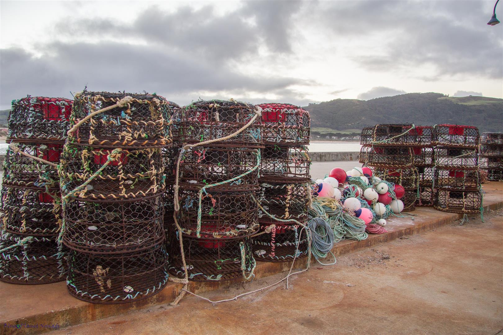
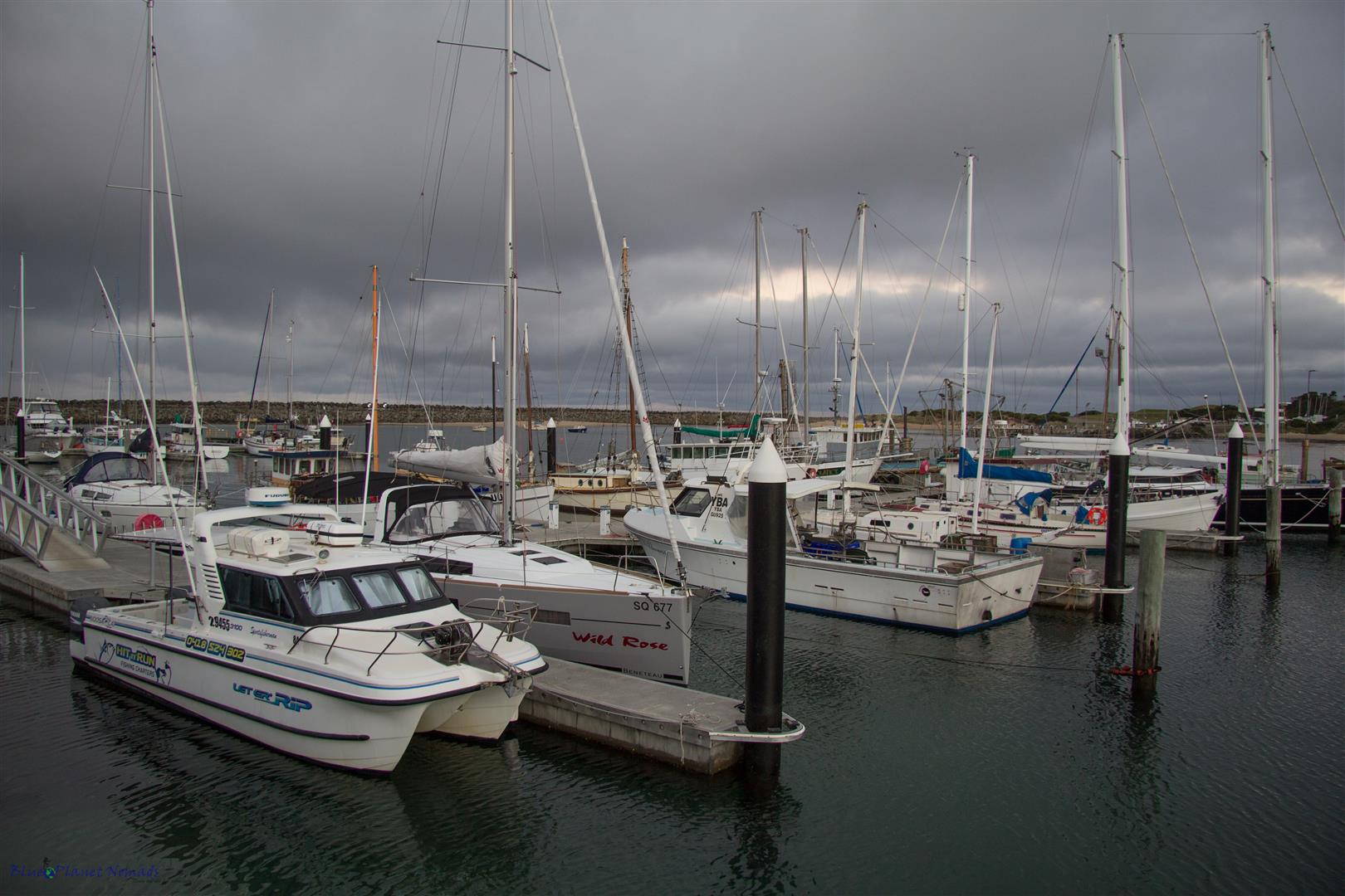
Dinner that night was at the popular Brewhouse Pub. It was holiday weekend so it was busy and we had to wait 15 minutes for a table but it was worth it as the food was delicious.
Day 2 – Otways, 12 Apostles and Loch Ard Gorge
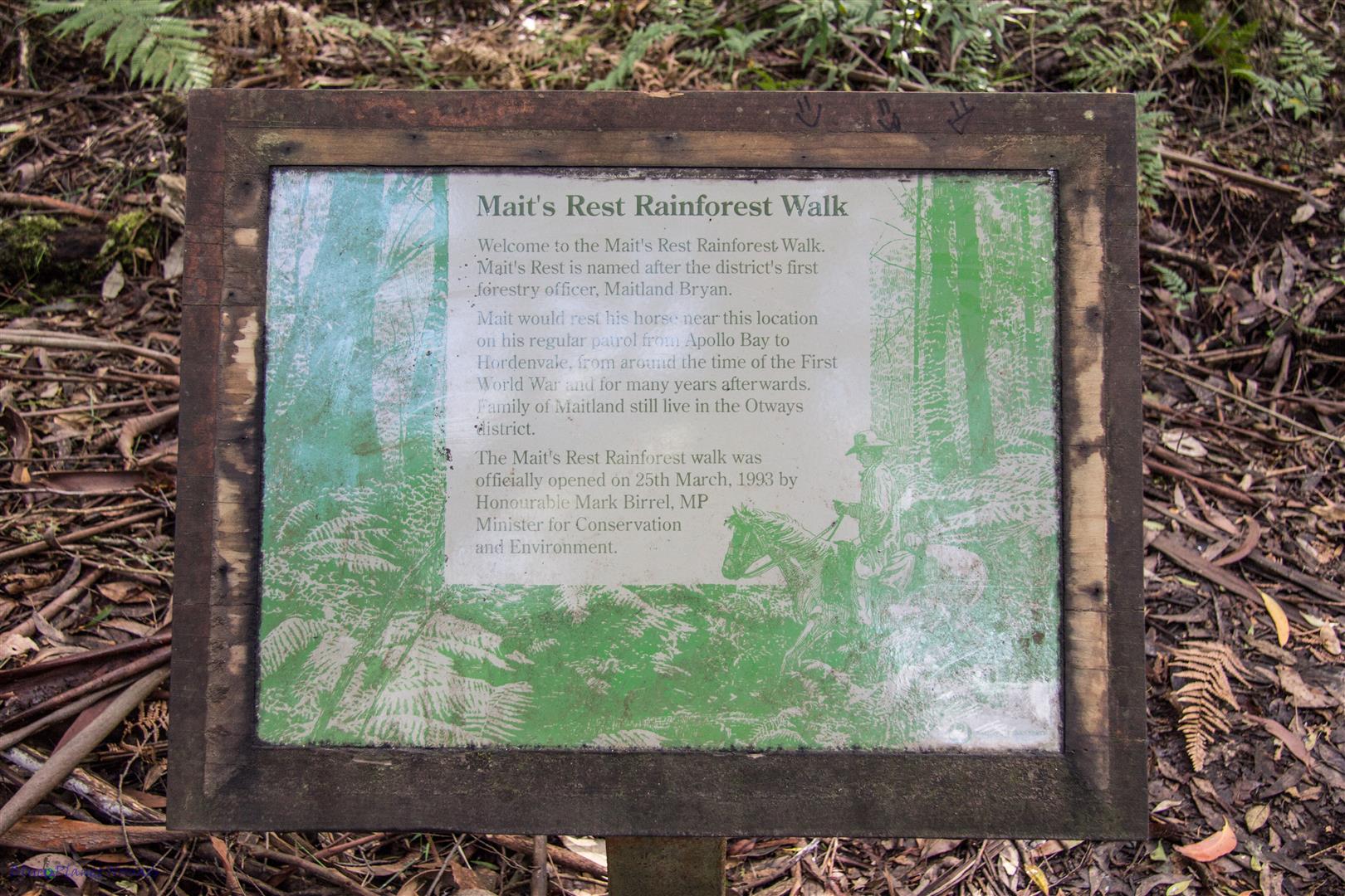
We didn’t waste too much time this morning as we had a long day ahead and we had a lot to see. Heading west for about half an hour from Apollo Bay we drove through lovely rolling farmland until we came to the Great Otways National Park. The National Park is an area of pristine temperate rainforest, lovely beaches, waterfalls and great views. We pulled just off the Great Ocean Road so we could do the popular Mait’s Rest Rainforest Walk (signposted from the highway).
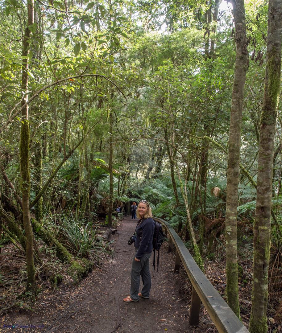
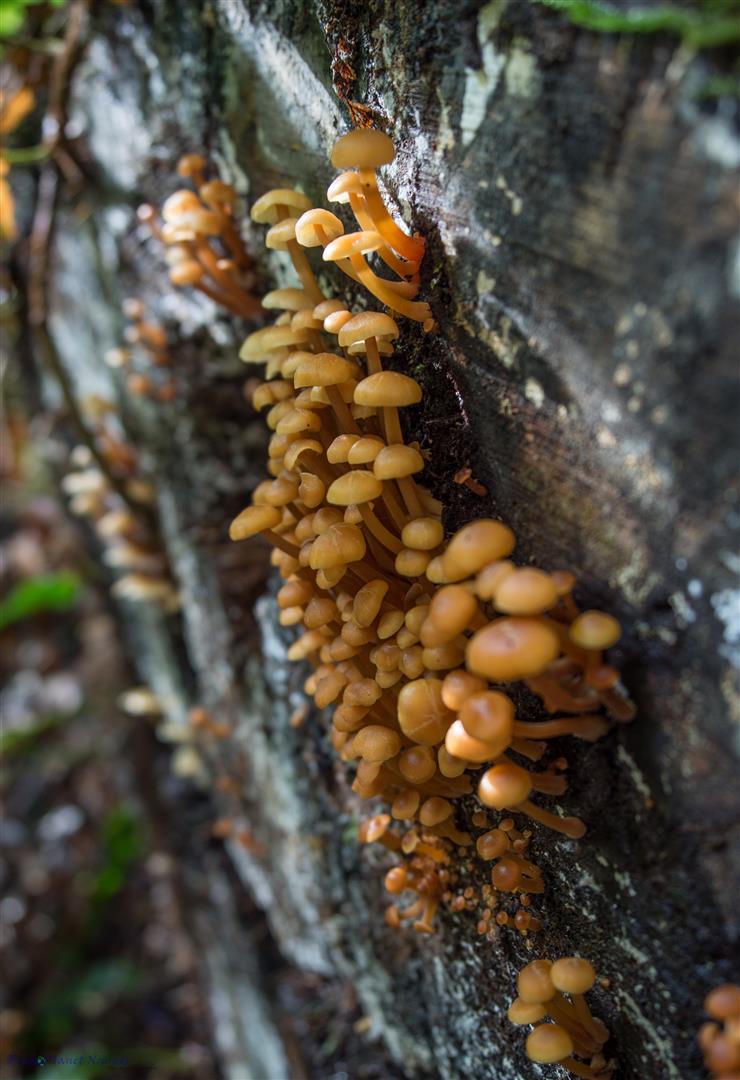
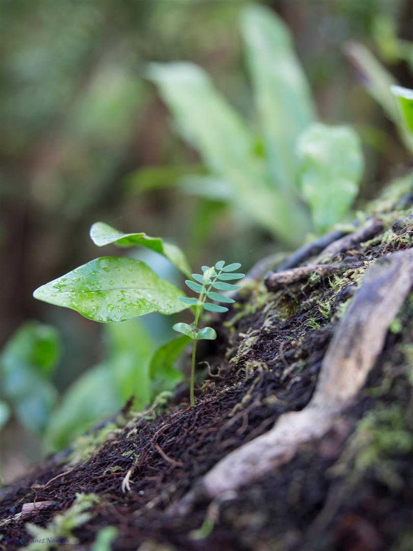
The well-marked path and boardwalks take you through an ecosystem of lovely wet moss covered rainforest with tree fern gullies, enchanting gnarly root systems and some magnificent old Mountain Ash, some over 300 years old. The loop trail took us about 40 minutes with stopping for photos and it’s a very easy relaxing stroll.
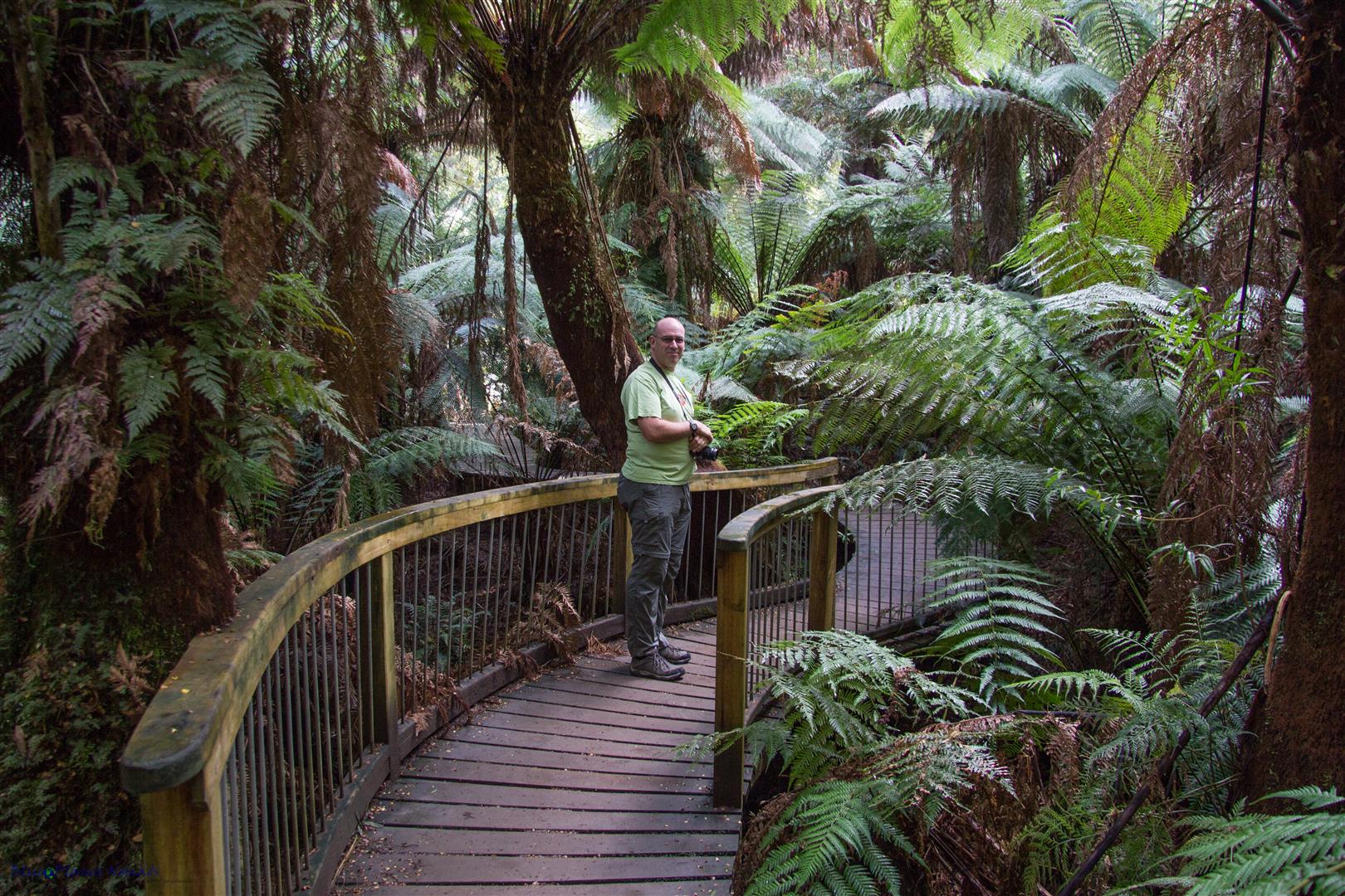
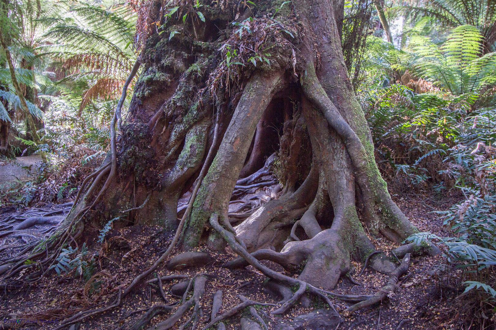
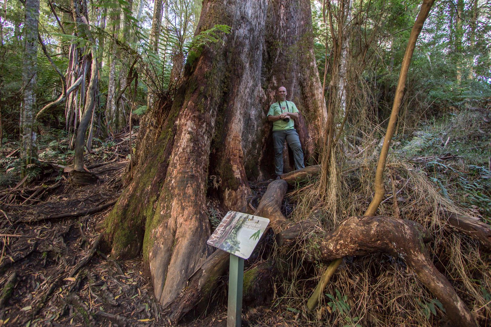
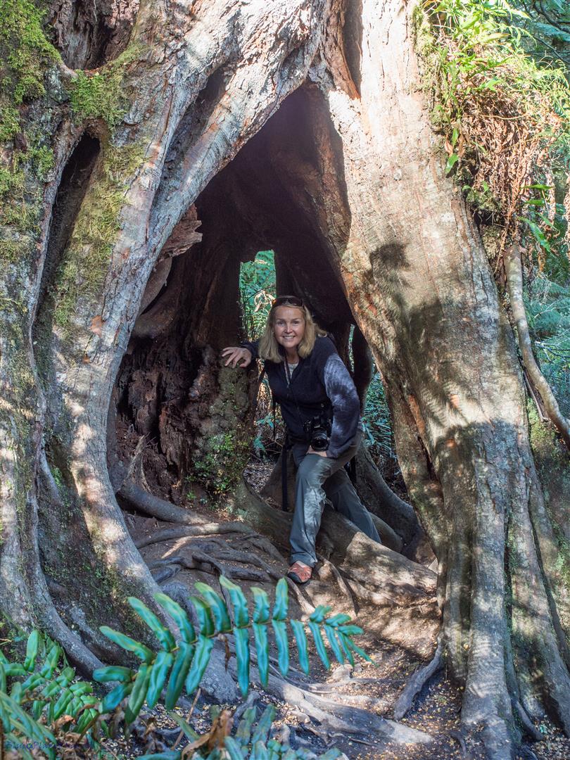
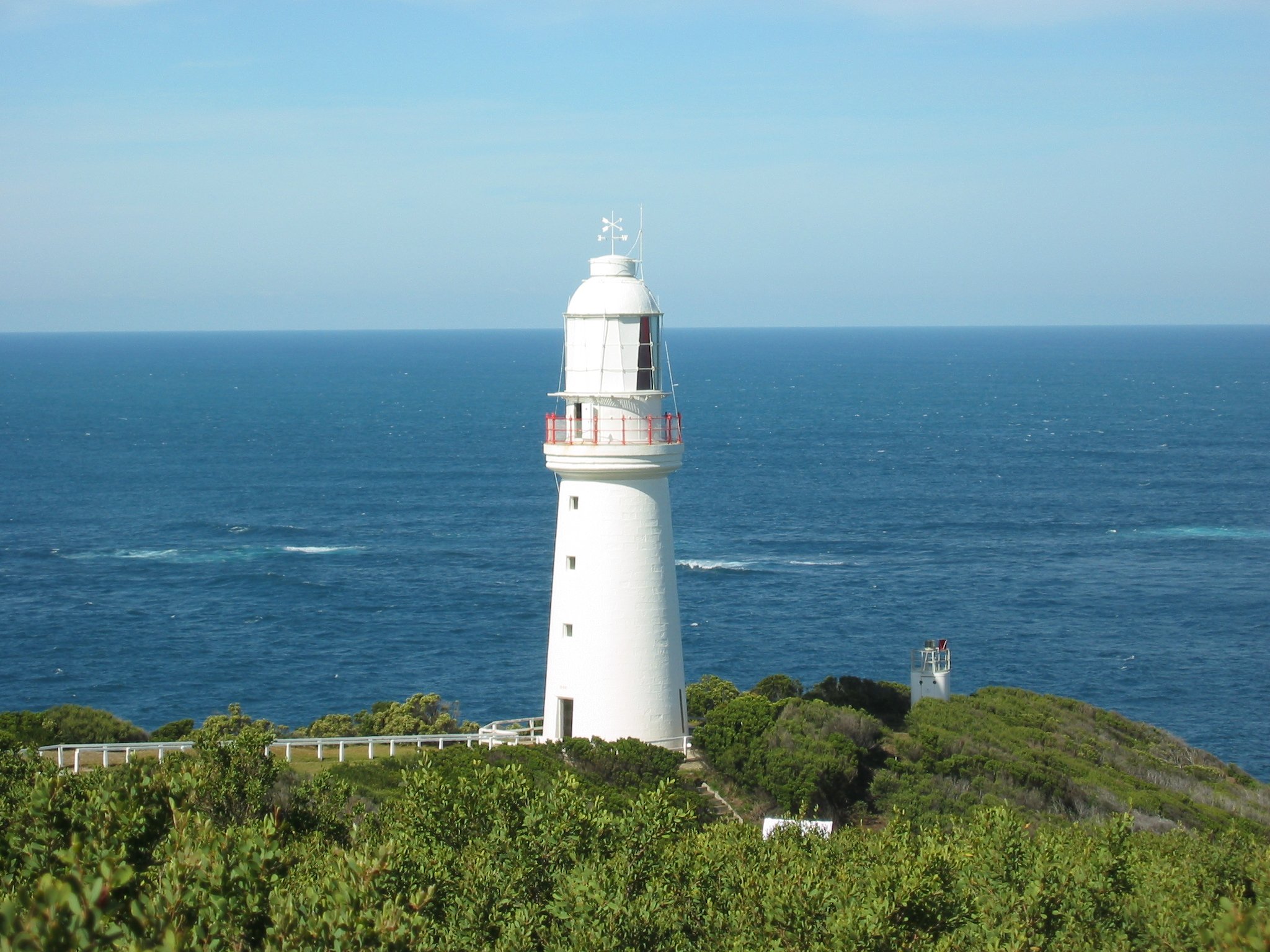
Instead of turning right to head back to the Great Ocean Road we turned left and headed to the Cape Otway Lighthouse. It’s been a few years since we last visited so we thought we would go check it out again. We were little surprised when we got there to find that you now have to pay $20 to go in! They have turned it into a bit of an adventure playground and added some extras like a museum, kids-zone and Aboriginal cultural centre. On our last visit we could walk the lovely coastal trail to the lighthouse and you only paid if you wanted to go inside! We decided to skip it as we had seen it before.
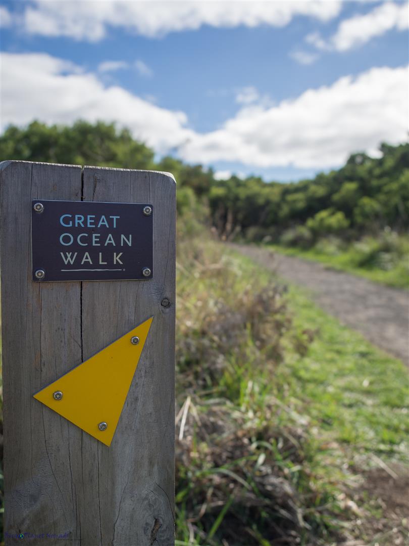
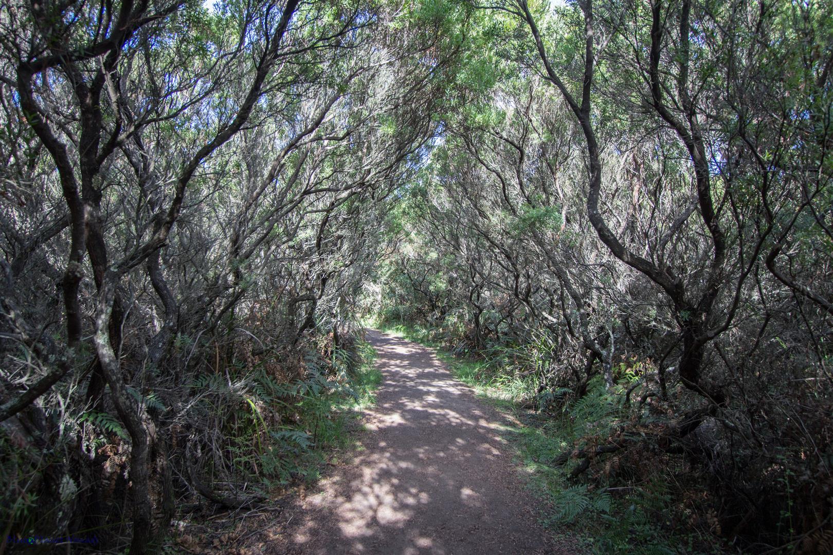
A sign near the entrance pointed to a viewpoint of the lighthouse so we followed the sandy track which passed through a very cool avenue of ti-trees, it reminded me of an enchanted forest. The track was part of the Great Ocean Walk which we plan to do one day. We couldn’t find the lookout as it was smothered by vegetation (I guess they want you to pay the $20!) so we decided to check out the impressive camp ground set up for the Great Ocean Walk hikers.
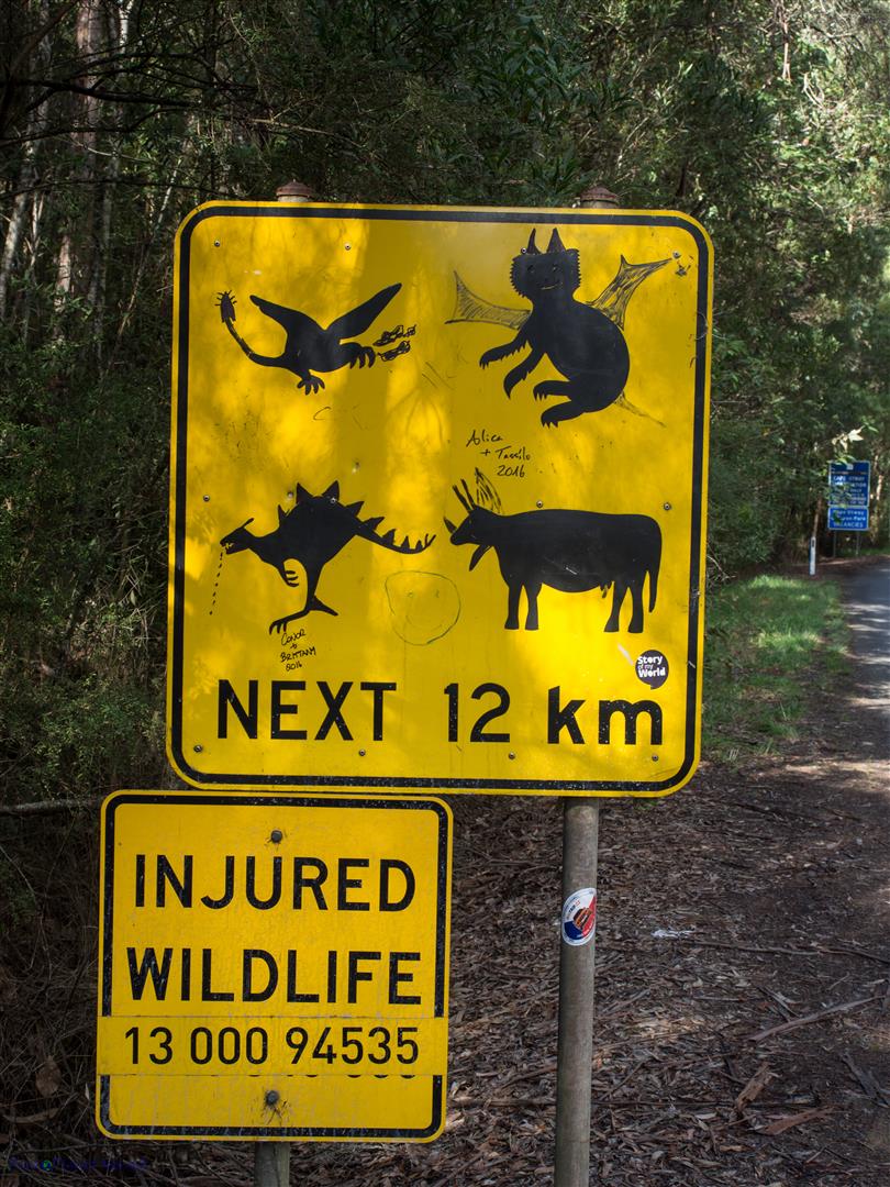
We headed back to the highway but not without first stopping to take a photo of a funny wildlife sign. Someone obviously has a sense of humour and some imagination because the changes they made with a black marker pen was quite hysterical!
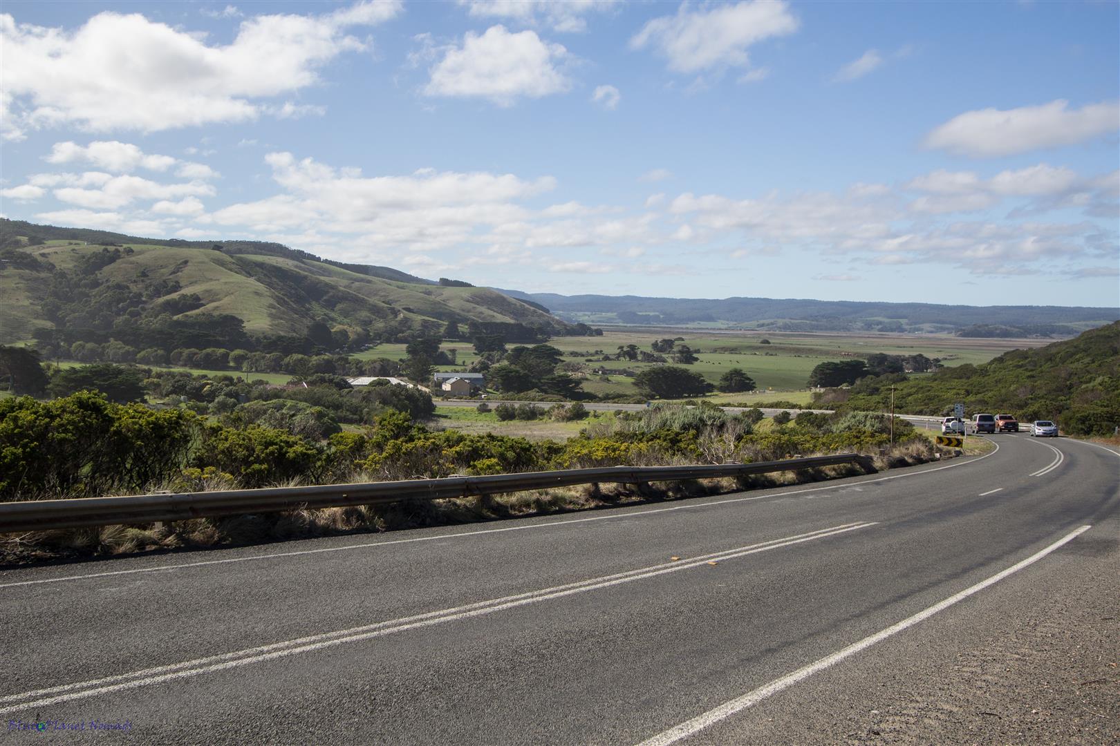
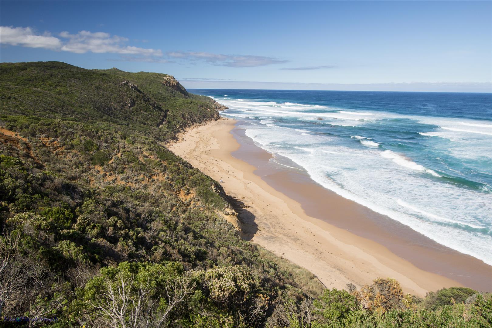
After we left the forest behind the scenery opened to rolling farmland, the day was filled with sunshine and I was almost down to shorts and T shirt except the wind coming off Bass Strait was a little nippy! At one point the road came back to the coast so we stopped at the Castle Cove lookout. We were now on the “Shipwreck Coast” where the land is mostly separated by sandstone and limestone cliffs. As we moved further west towards the 12 Apostles, the cliffs become more apparent. The Shipwreck Coast earned its name for the number of historic ships (180 or more) it has claimed, most from the 19th century.
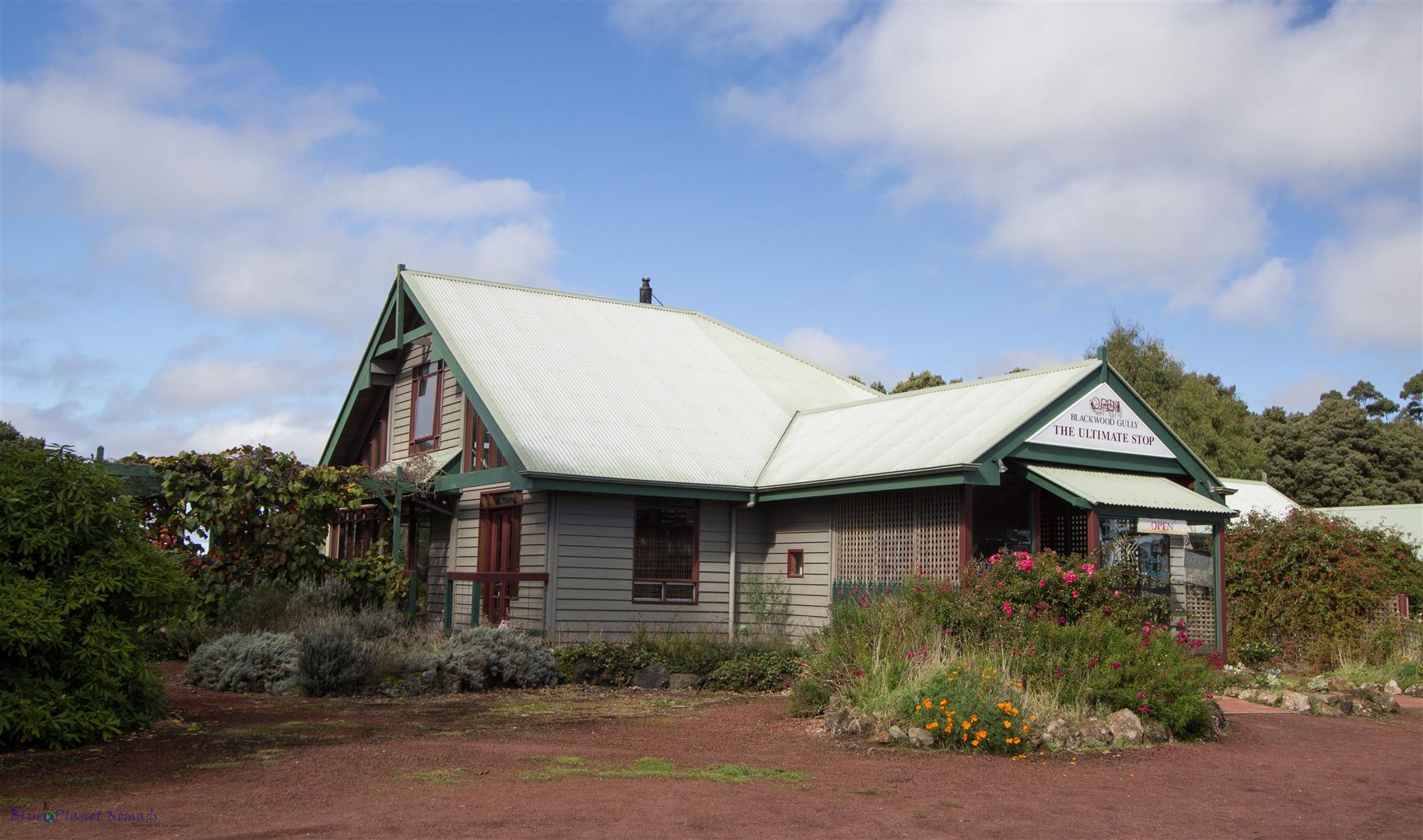
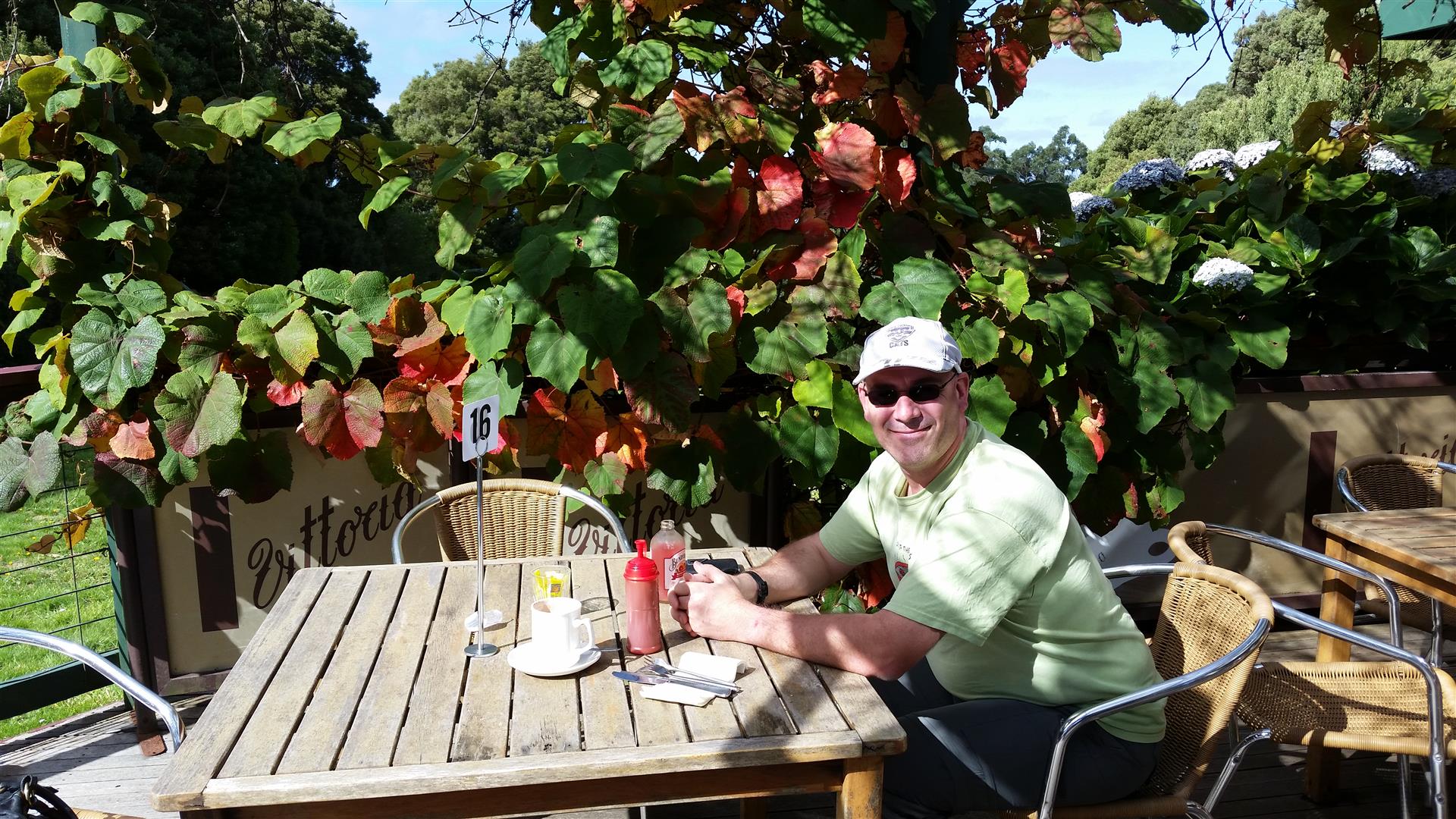
Lunch was at the small village of Lavers Hill in the very quaint Blackwood Gully Cafe. I can certainly recommend it, the food was delicious and the outside deck with its grapevine covered lattice was sublime.
From here on, the road headed back to the coast with Princetown being the last little village before we hit the popular stretch with all the famous landmarks. Princetown is a small place with some basic amenities and a caravan park, so it a great place to stay to explore the nearby 12 Apostles. If you stay somewhere like here or Port Campbell then you have the advantage of seeing the sites before the hoards turn up!
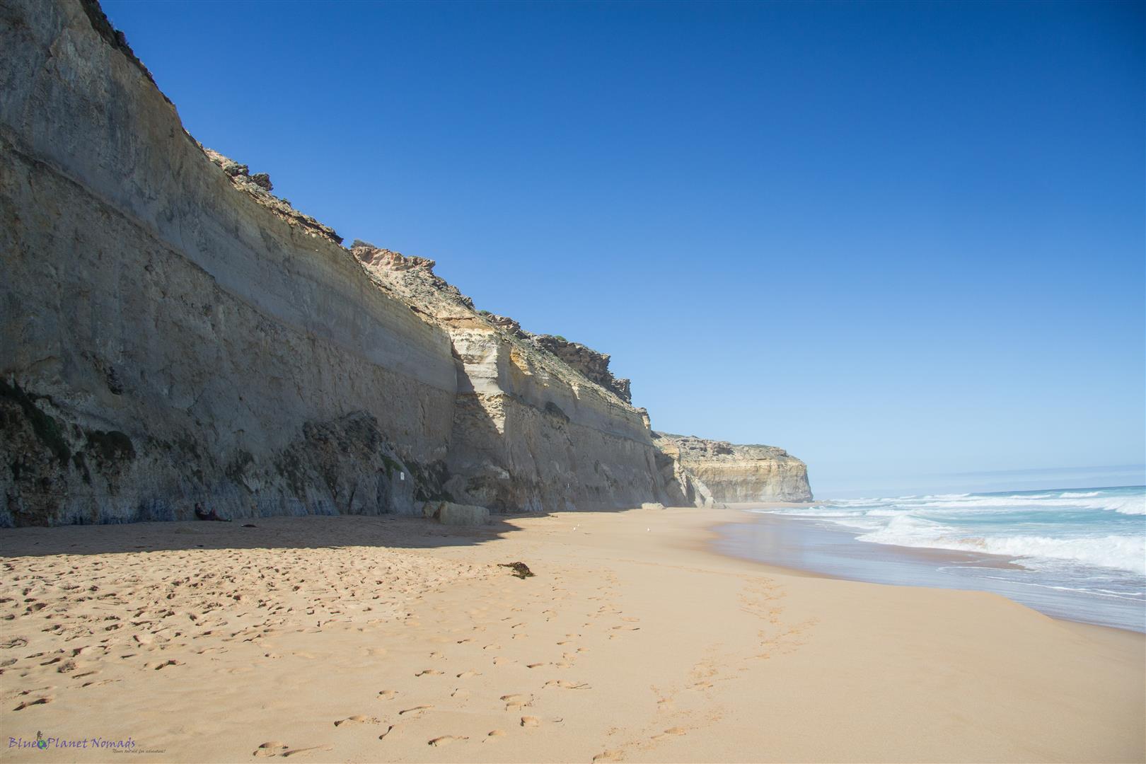
After having a quick nose around Princetown we started on the cliff hugging stretch of road where we would be making a few stops. Our first stop was Gibson Steps, a set of 86 steps that switchback down the cliff to give access to the beach. We walked along part of the golden stretch of sandy beach dwarfed by the high limestone cliffs to view the offshore pinnacle stacks jutting out the sea. At one time just like the 12 Apostles, these stacks would have formed part of the cliff.
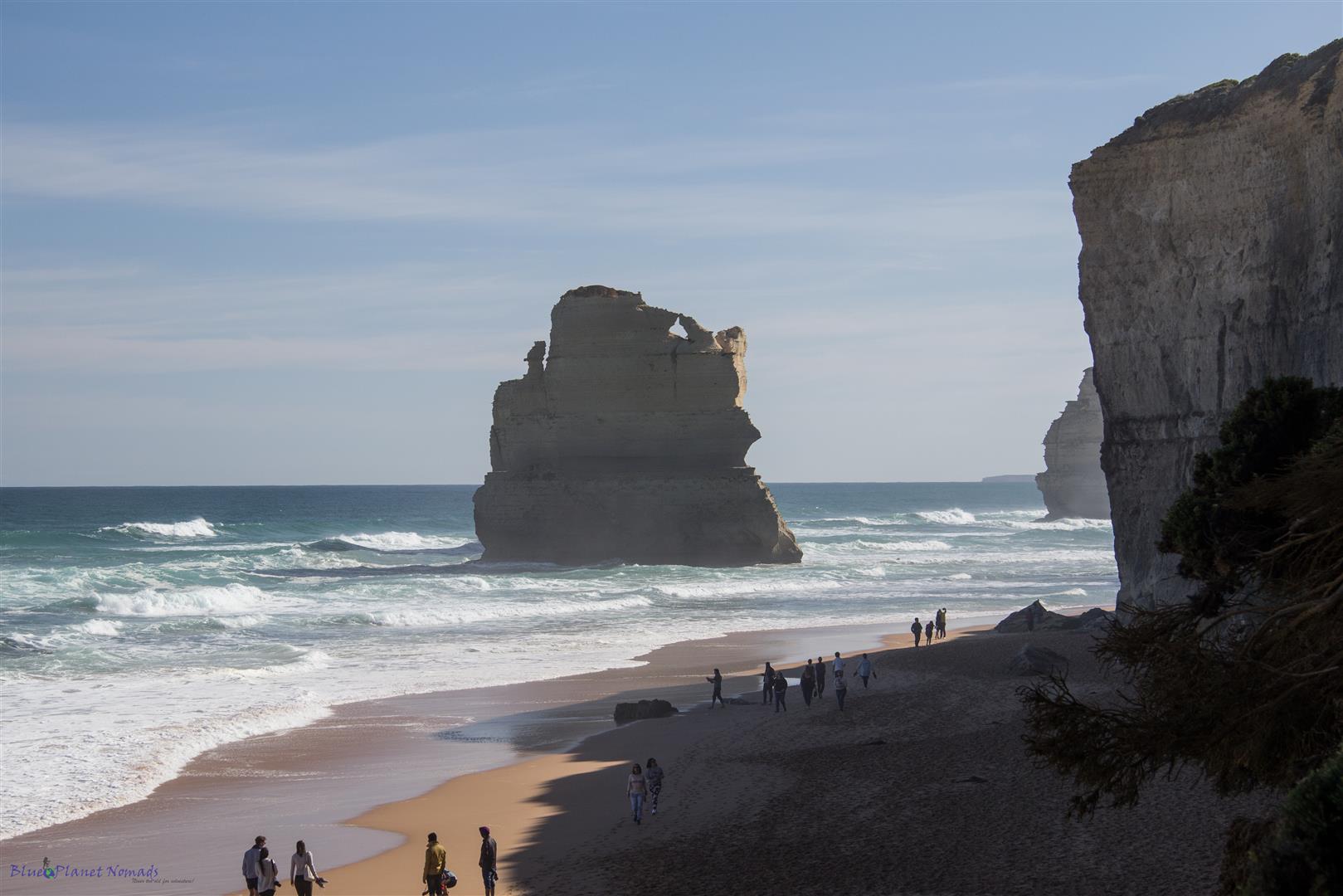
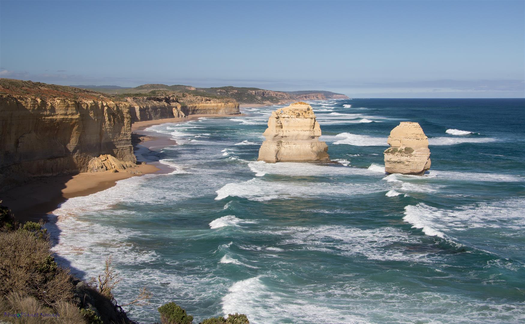
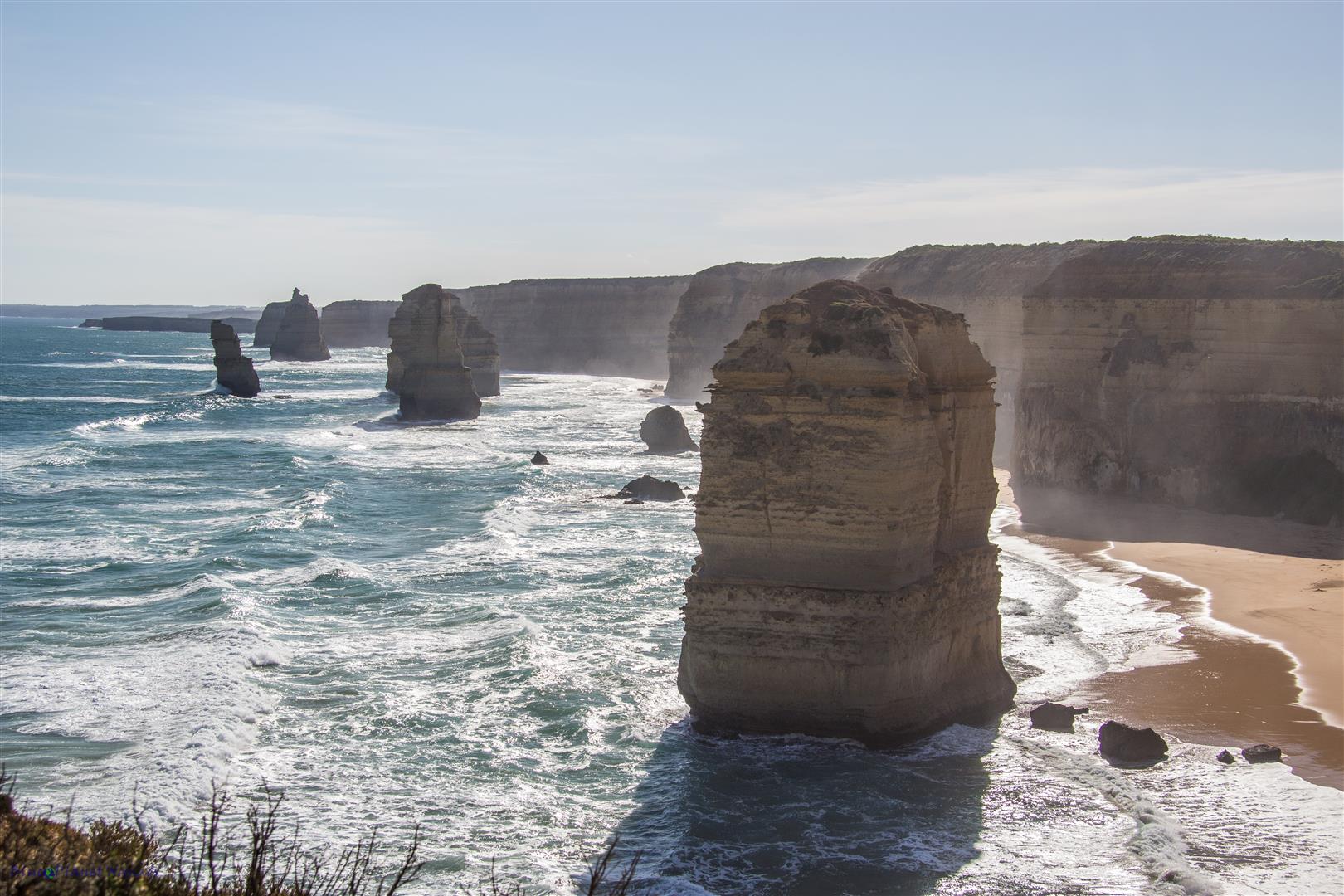
A few more minutes down the road we came to the most iconic symbols of any travel brochure depicting Victoria – The 12 Apostles. The Apostles are not 12 but actually 8 limestone stacks jutting out of the sea to a height of 45 meters. 10 to 20 million years ago they would have been part of the cliffs but over time the softer limestone was eroded to form caves and with further erosion – arches and eventually those arches collapsed to become the rock stacks we see today. They would have been more stacks but they have eroded and collapsed over time. I’m sure if I come back in a few hundred years time another would have disappeared 🙂
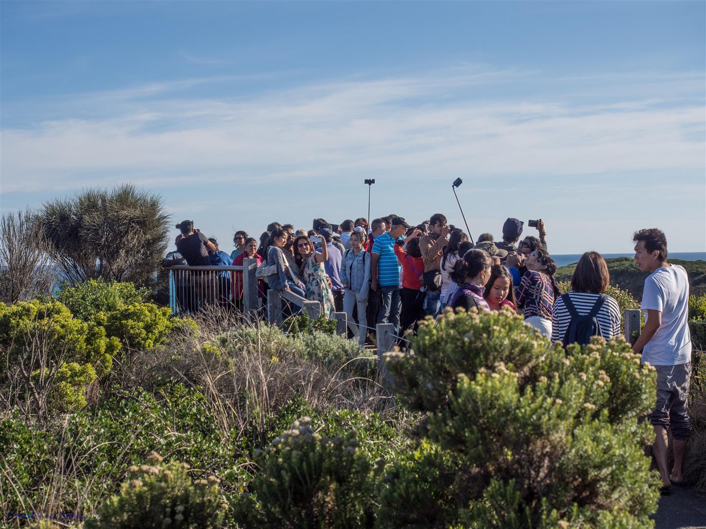
The car park was very busy with both cars and buses which is not surprising for a holiday weekend. We followed the hoards along the well paved trail to the first of the lookout points. As I said earlier it’s been years since we last visited and even though the setup with the visitor facilities haven’t changed the demographic has. I would probably say that 70% of the visitors were Asian (mainly Chinese and Indian) and boy don’t they love their selfie sticks! It was fair to say it was “busy” so we just sharpened the elbows and muscled our way in to the best photo spot and snapped away. The crowds were as expected but the real disappointment was the sun was in the wrong spot or rather we were there the wrong time of day! You are best visiting in the morning when the sun is behind you and lighting up the Apostles nicely. On the other side facing east are a couple of lone stacks and these were lit nicely by the sun.
Going back to the car park we had to chuckle when a parked Wicked Camper caught our attention. Wicked Campers are popular with backpackers but their graffiti slogans have been known to raise a few eyebrows 😉 Another way to see the Apostles is from above and right next to where we had parked was the helicopter pad. We stood and watched them for a few minutes taking off. It would be a great to see the Apostles and the coastline but it is not cheap.

Next up was the Razorback and Loch Ard Gorge. After parking the car we followed the walking path through the pretty coastal scrub to our first lookout at the Razorback, a ridge of limestone rock poking straight out the sea. The section of coastline was quite striking and made for some great photography.
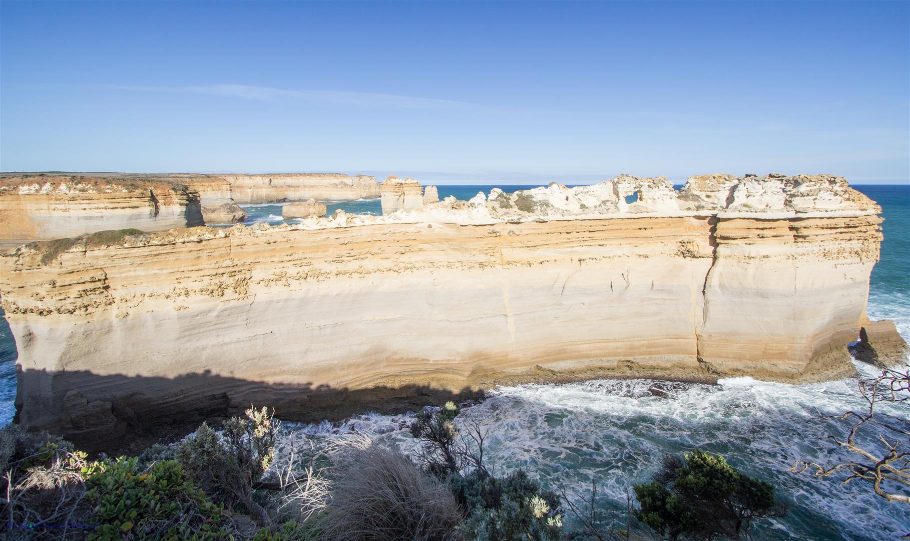
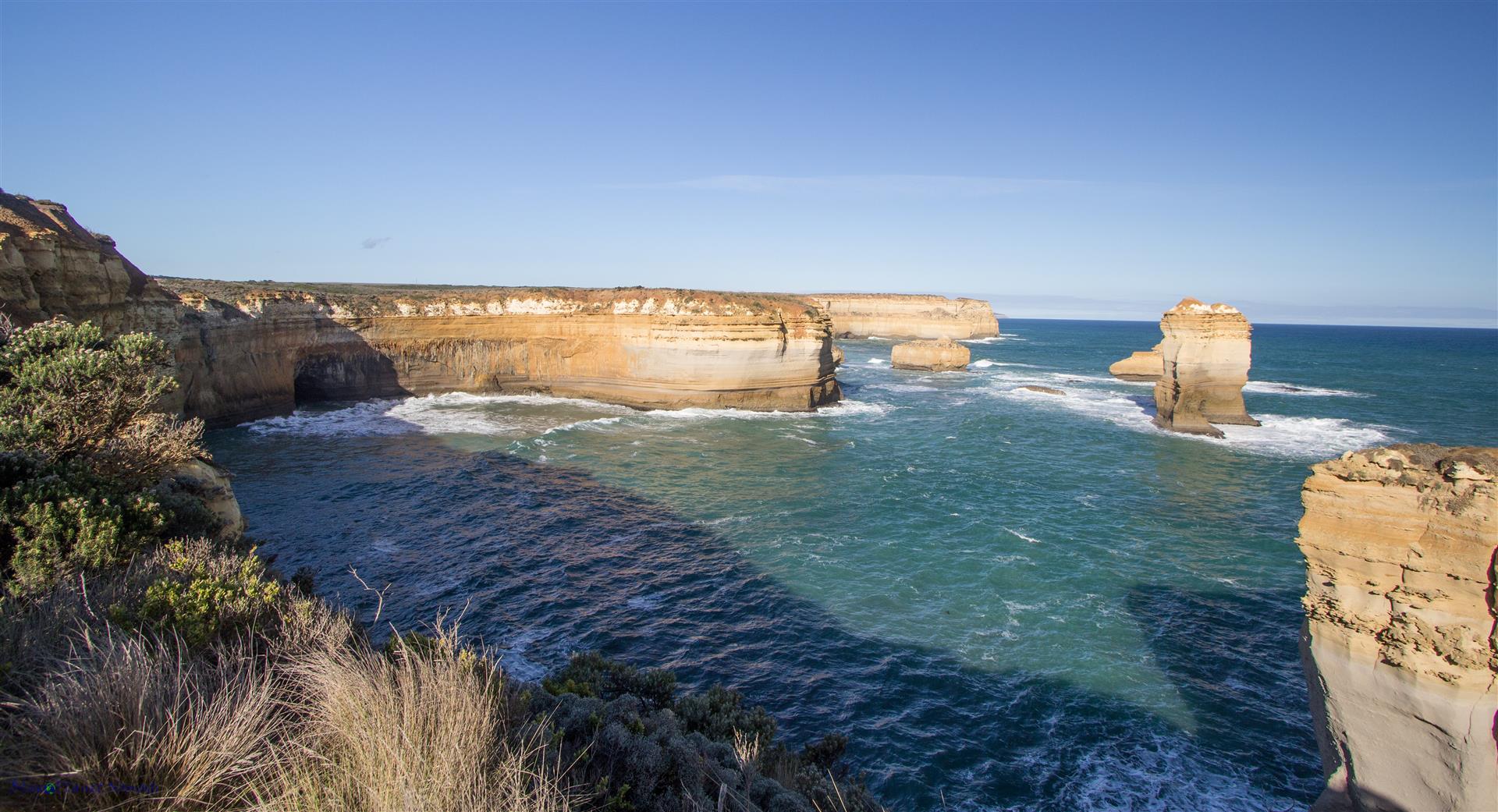
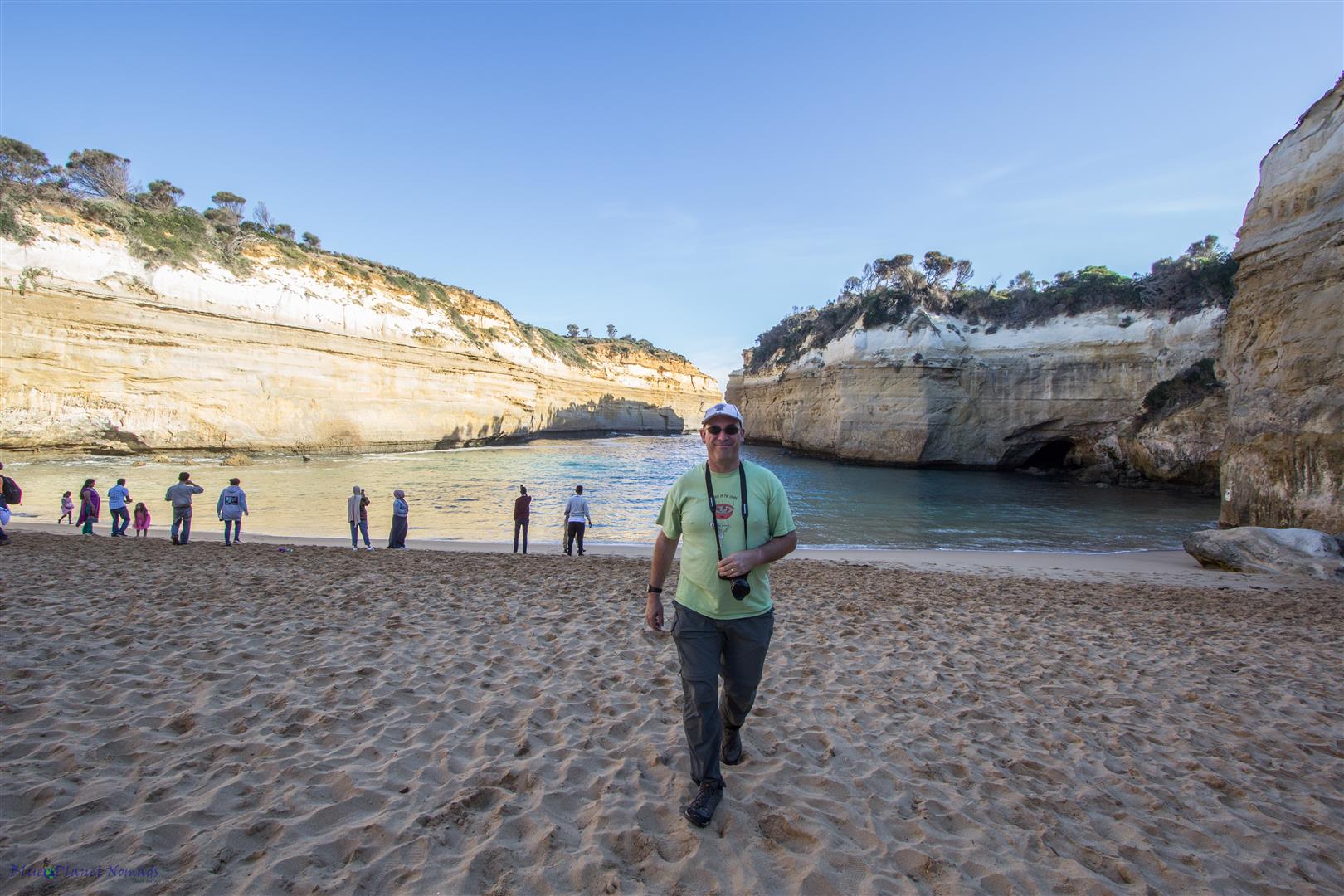
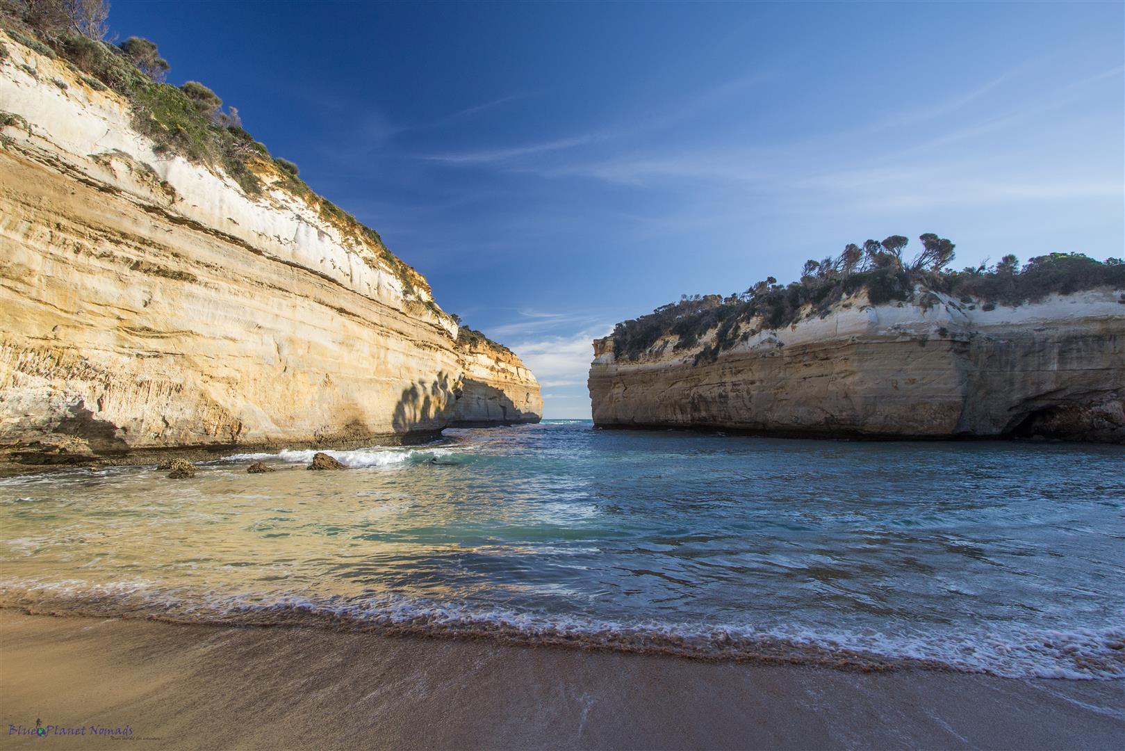
Another lookout showed us the rock stacks at the entrance to Loch Ard Gorge. Further on was the stairs down to the beach in the gorge. The gorge got its name from the clipper ship “Loch Ard” that had sailed from England and was shipwrecked on the nearby Mutton Bird Island in 1878. Only two of the 54 passengers survived, a 15 year old boy and 17 year old girl.
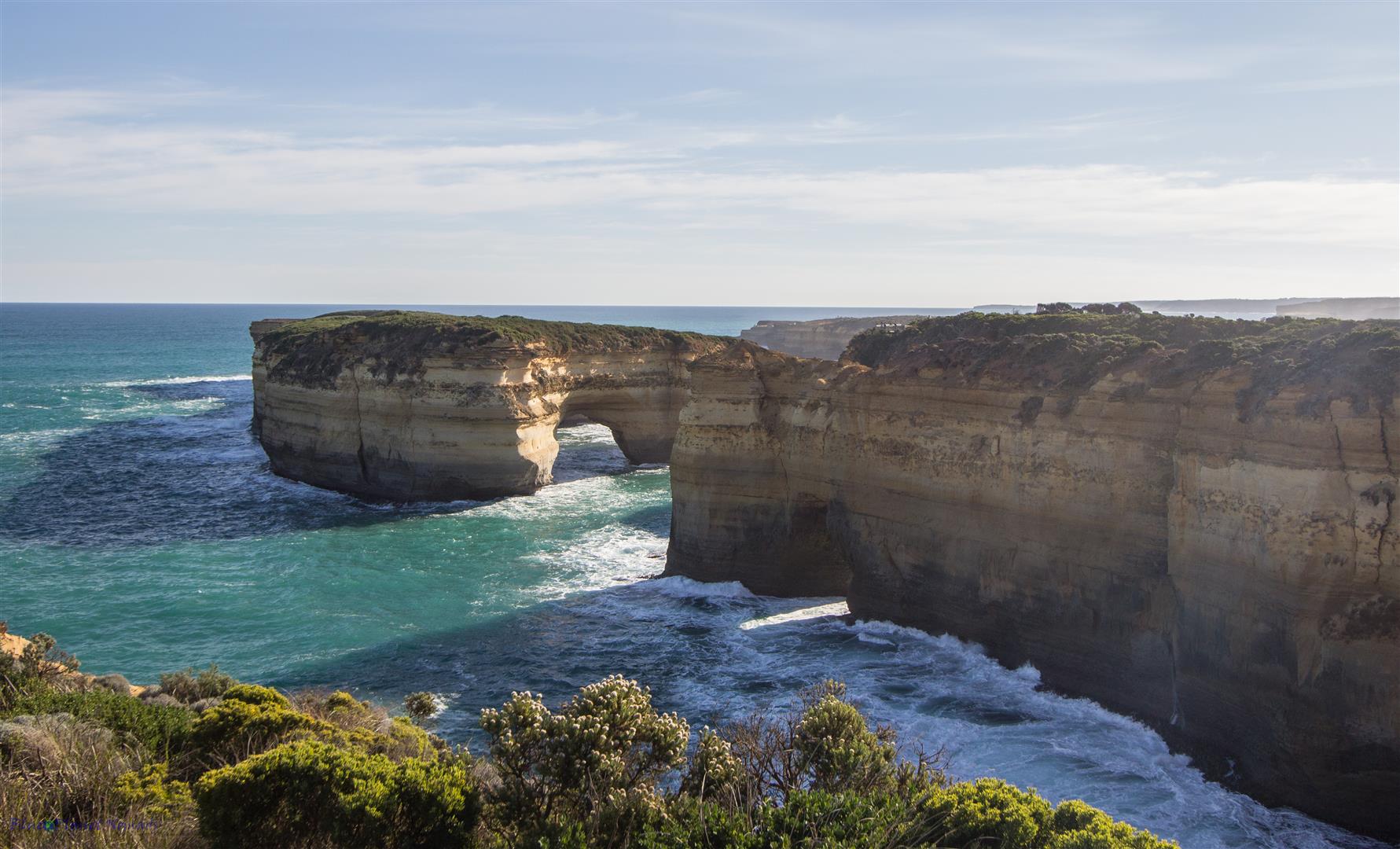
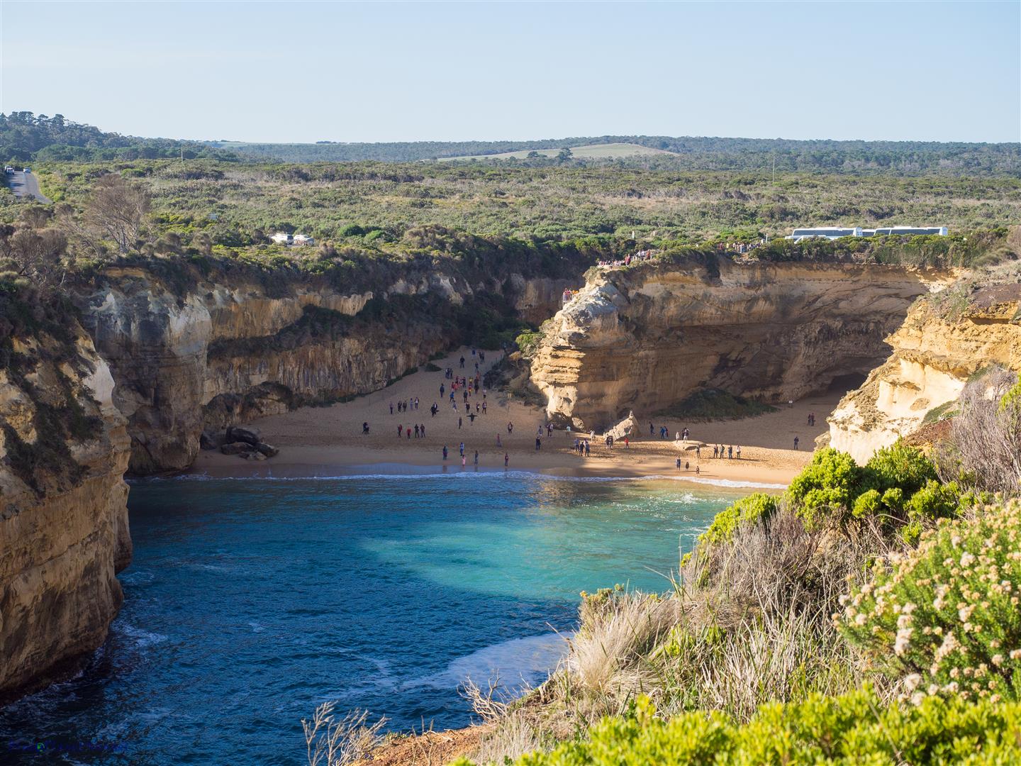
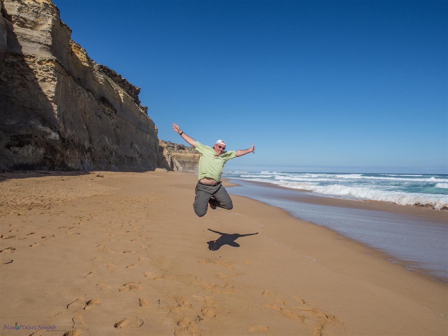
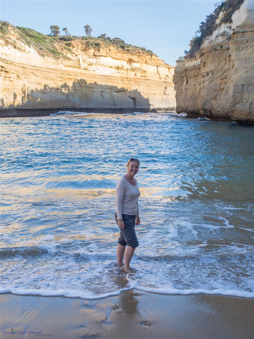
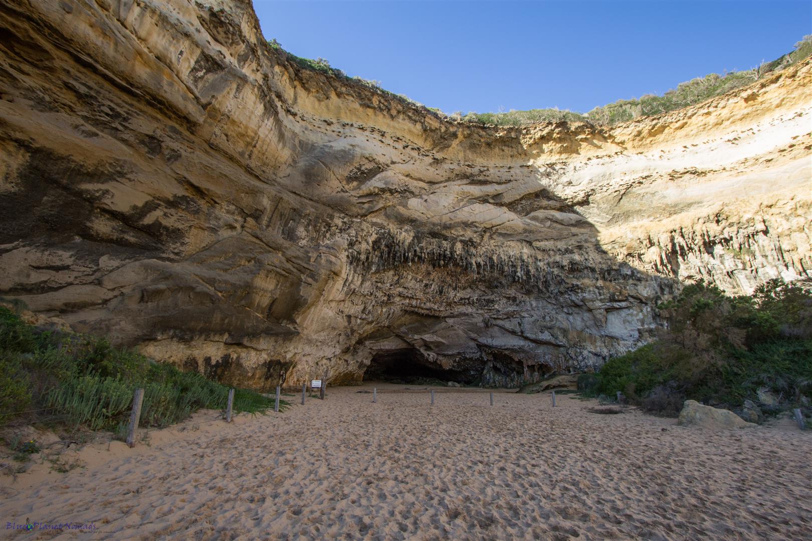
The gorge is popular for its natural beauty with its sheltered cove locked between the yellow-washed cliff faces. Along with another 50 or more tourists we paddled through the water and got some sand between our toes and sat for a while enjoying the serenity of the gorge. The cliffs at the rear of the beach were draped in limestone stalactite formations and peppered with small caves. After yelling at a couple of Indian tourists scratching their names into the rock we headed back to the car feeling quite annoyed. We were starting to get irritated by the sheer numbers of tourists and the stupid disrespectful behaviour, even their crap driving was sending us crazy.
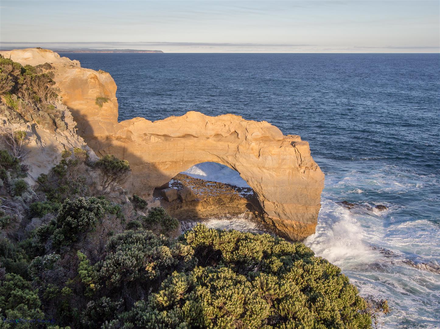
We were nearly at Port Campbell and we only had a couple more geological sights to see and both were the other side of town. First up was the Arch, a natural rock formation formed by erosion.
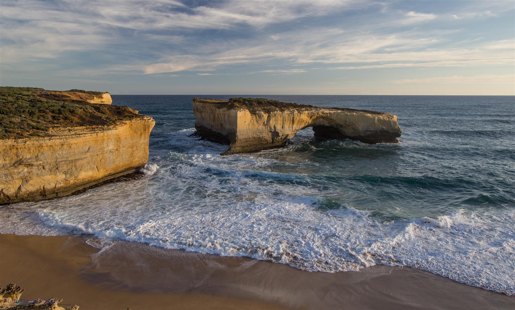
Further down the road was the dramatic London Bridge which was originally a natural archway and tunnel in an offshore rock formation, in 1990 it collapsed leaving tourists stranded in what is now an island bridge. Thankfully they lived to tell the tale once a helicopter came to their rescue!
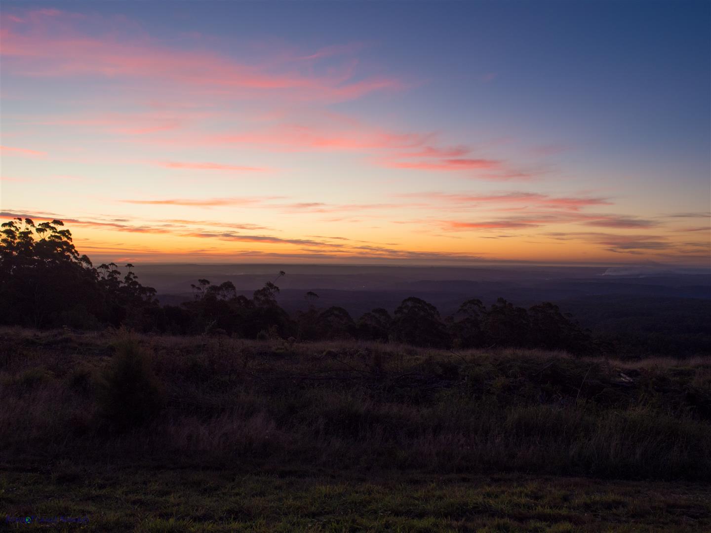
It was getting into late afternoon so we made a quick stop at a lookout giving us great views over Port Campbell town before a long drive back to Apollo Bay. We really only stopped when we saw a great photo opportunity of the beautiful sunset.
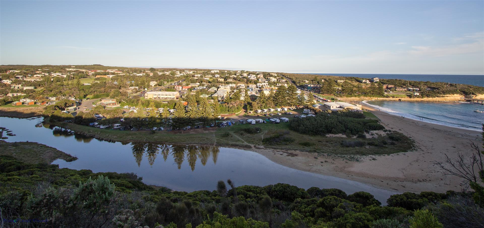
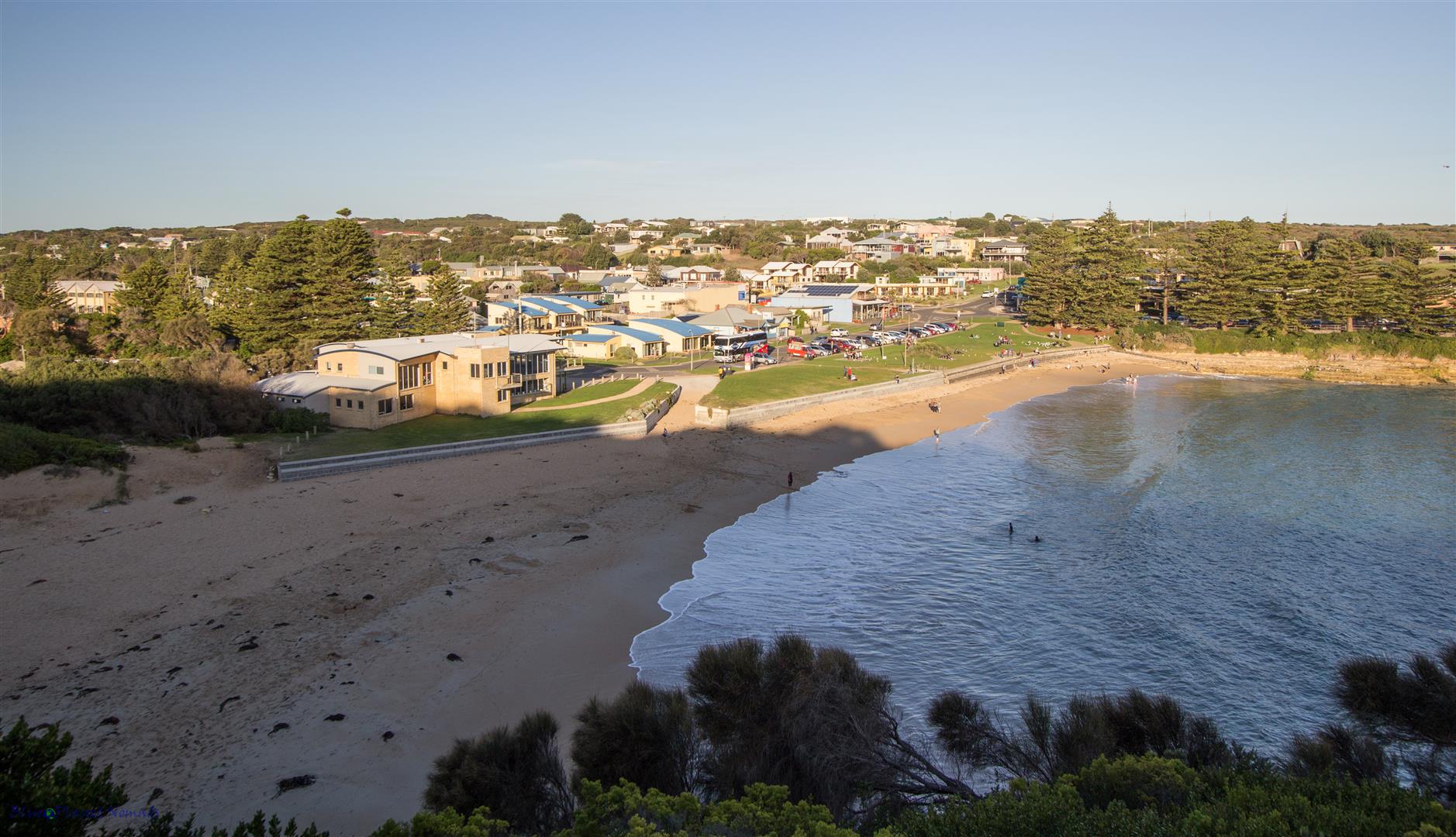
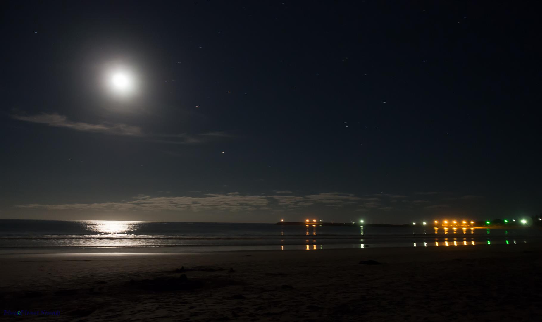
Back at base, Vaughan wandered down to the beach to take some moon shots, then we headed to the best Chinese in town except when we arrived it was fully booked! So we took the second best which turned out to be a pleasant meal.
Day 3 – Otways Waterfalls, Lorne to home..
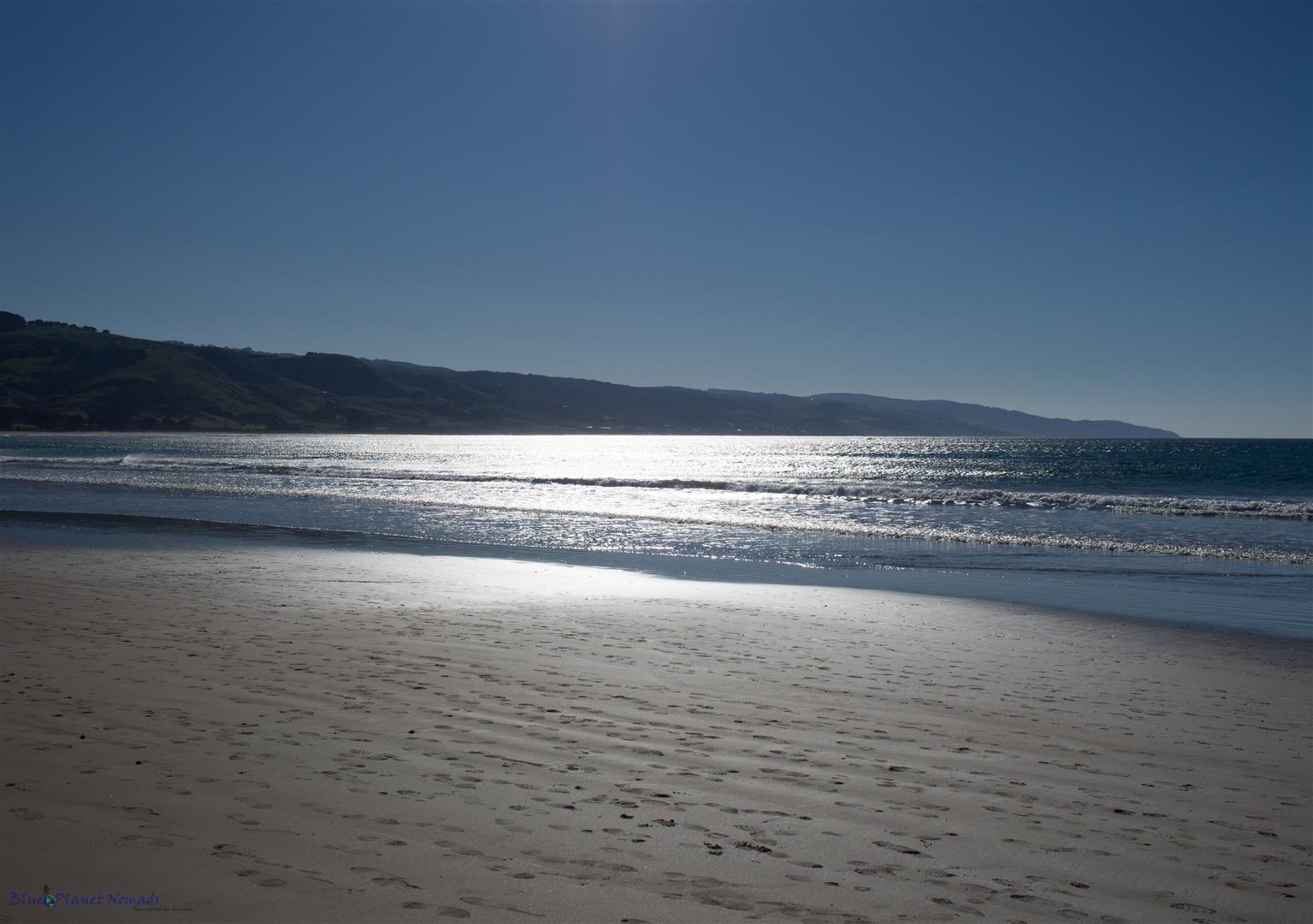
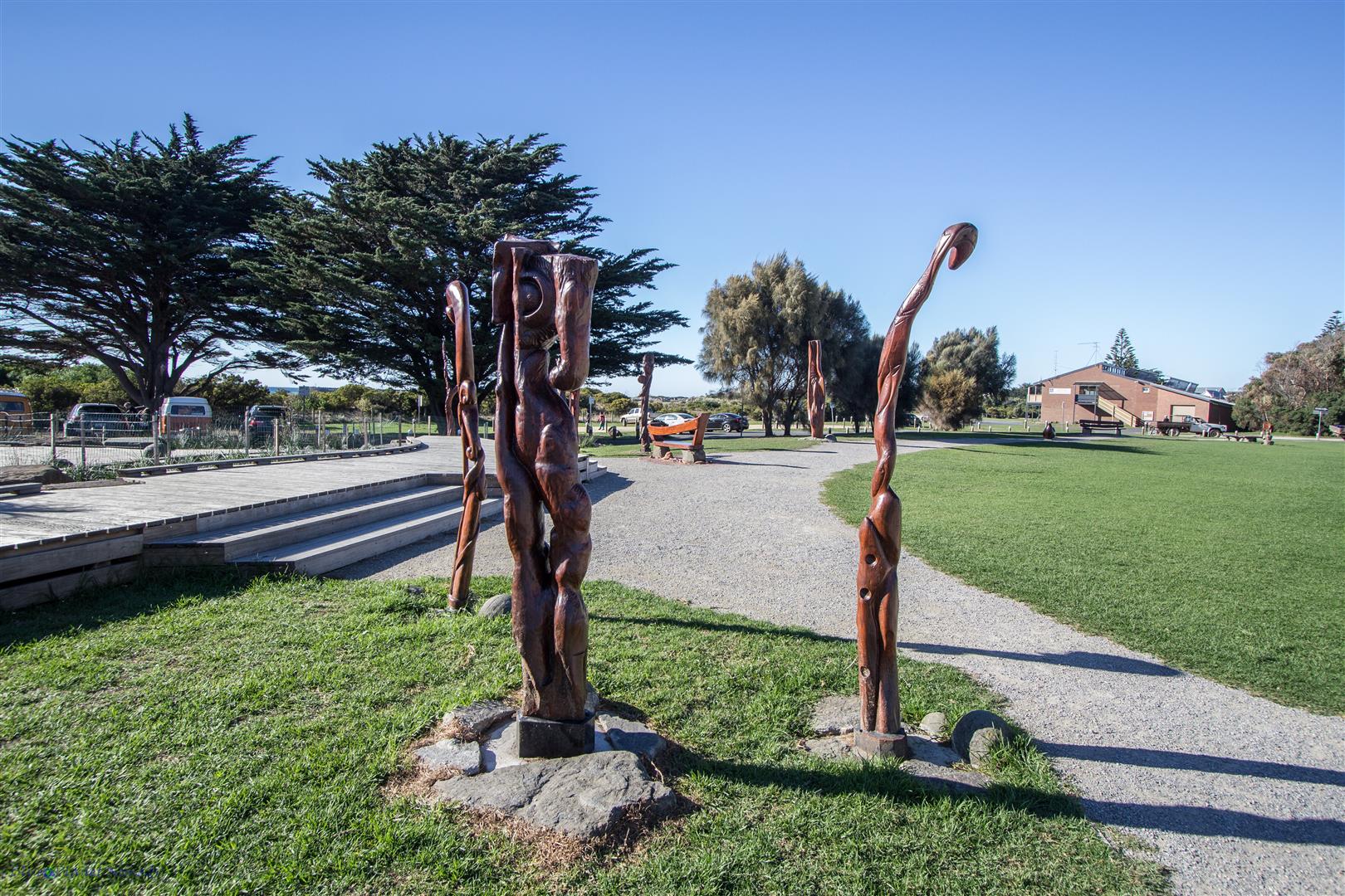
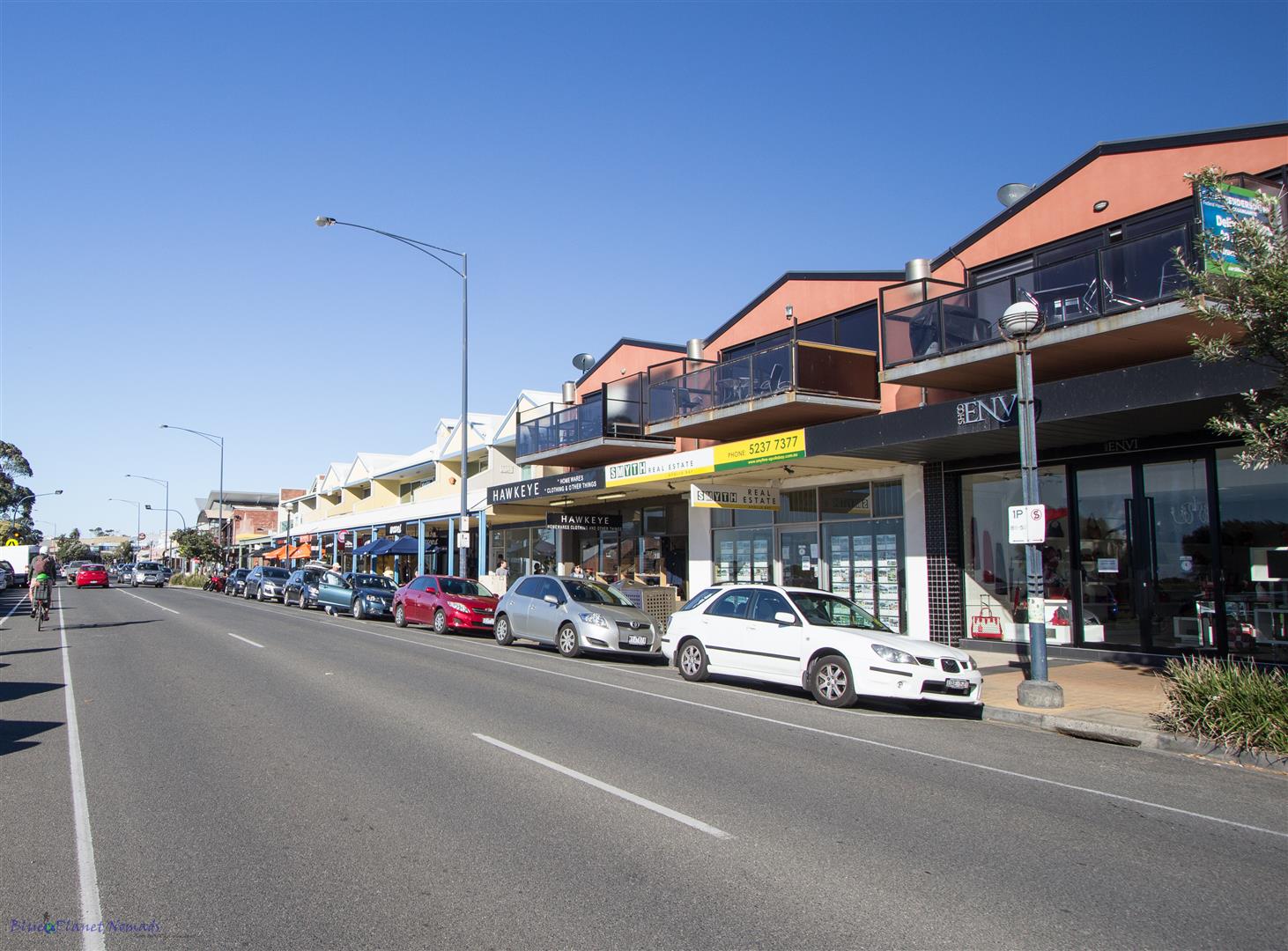
Today was our final day on our Great Ocean Road tour. We started the morning with a delicious fry up of bacon and eggs on the BBQ outside our room 🙂 After packing the car we strolled down for a last look at the beach, visited the visitors centre to get some information on the Great Ocean Walk and I took some photos of the main street.
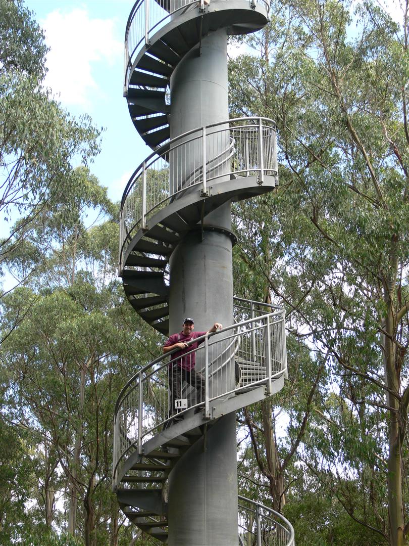
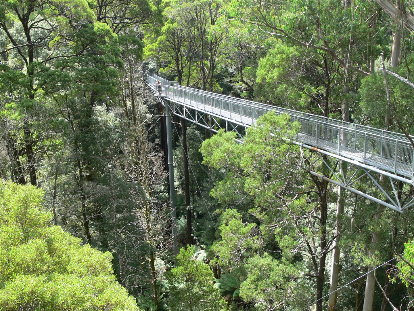
We decided today to explore more of the Otways and its waterfalls. There is quite a lot to do in the Otways including the Tree Top Walk called the Otway Fly which boasts being the highest and longest steel canopy walk in the world. You can combine the Treetop Walk with the 2.5 hour guided Zipline Tour that takes you through 8 cloud stations, 6 flights and 2 suspension bridges. I must warn you though neither comes cheap the Zipline Tour starts at $120 and the Treetop Walk $25. We have done the Treetop Walk on a previous visit and enjoyed it so obviously having done it before we gave it a miss on this occasion.
Close to the Otway Fly on the Beech Forest-Lavers Hill road are three waterfalls – Triplet, Beauchamp and Hopetoun Falls, all within a few kilometres of each other. To get there we had a good 70km drive via Lavers Hill to get on to the Beech Forest road. If you want to see all the waterfalls, Redwoods and the Otway Fly then you really need to set aside a day but we had the long drive home so just picked what we had time to do which was two of the falls and the Redwoods.
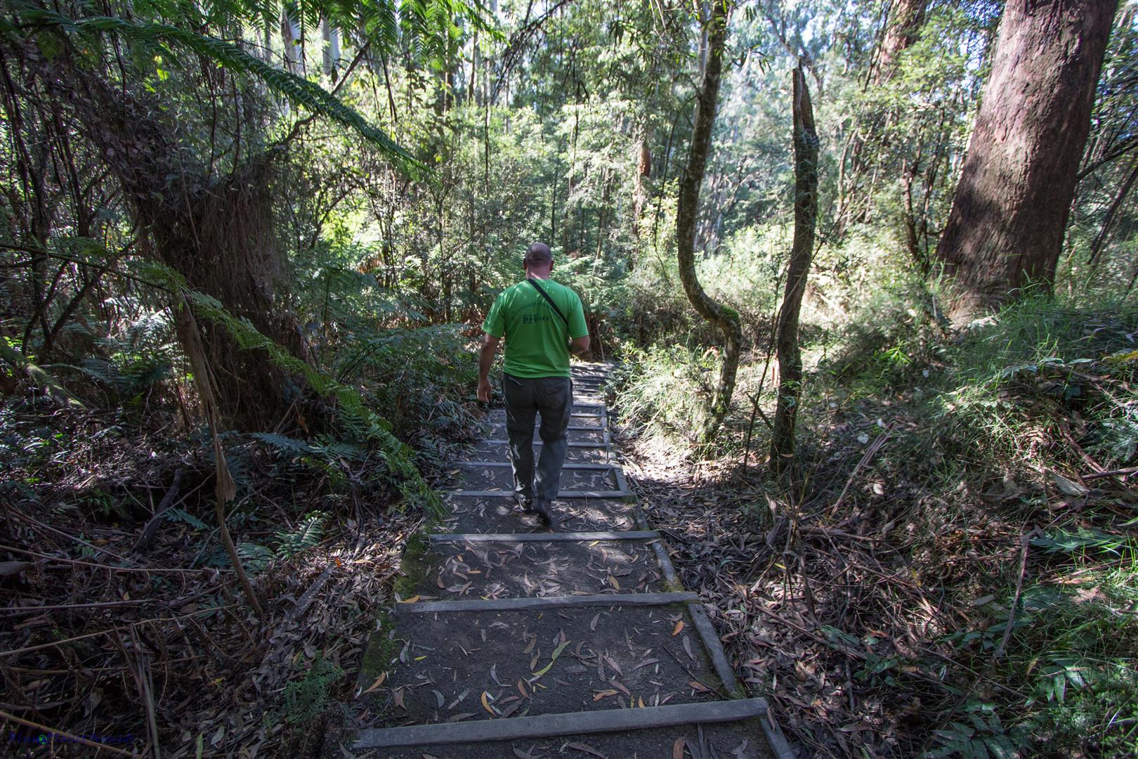
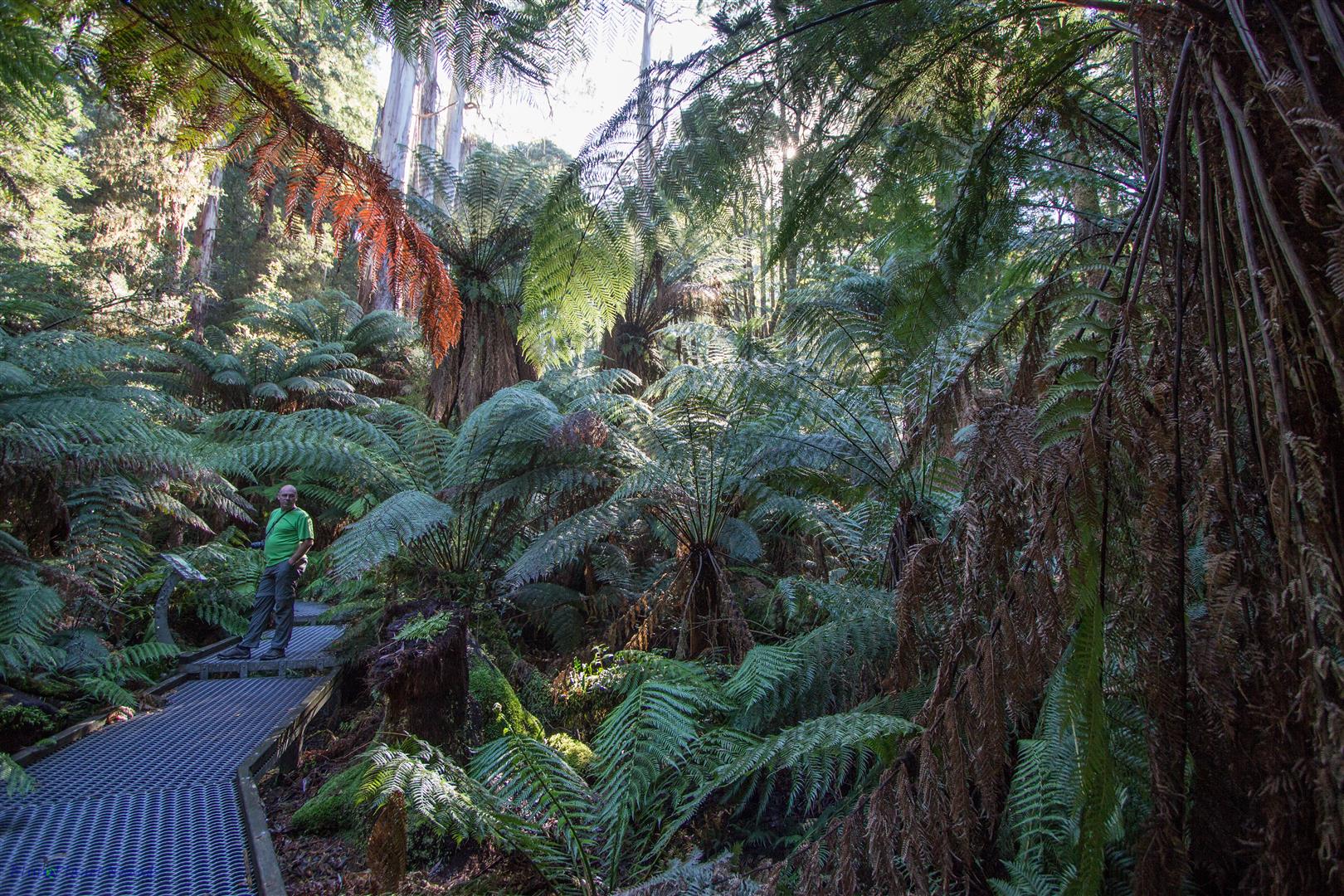
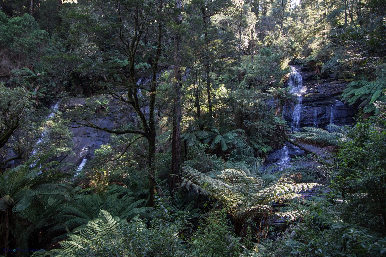
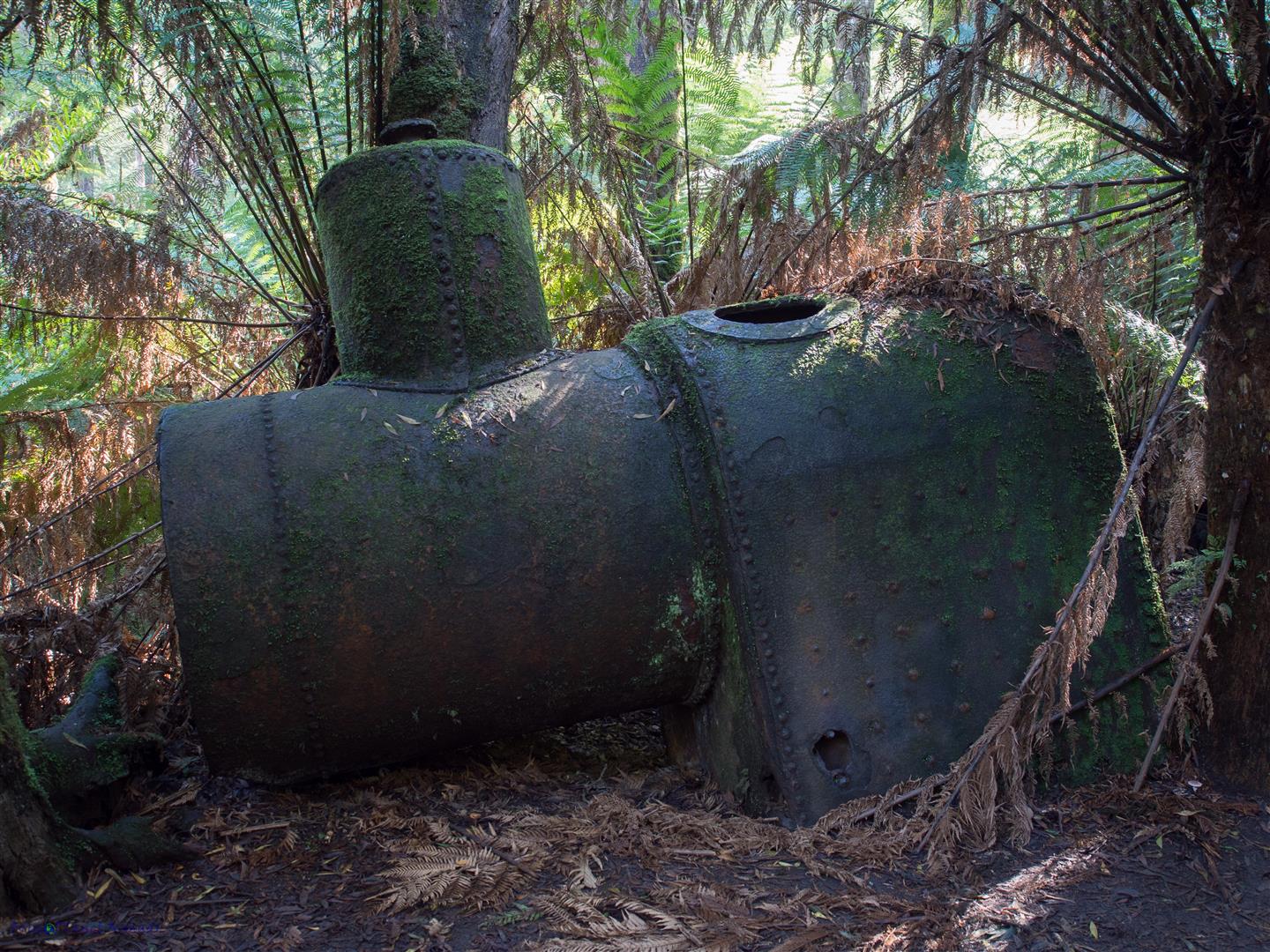
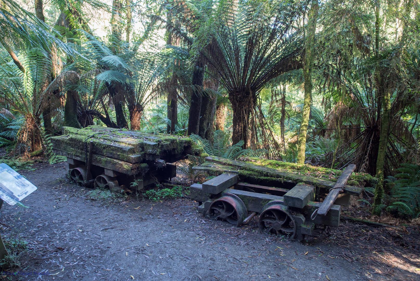
The first falls we visited were Triplet Falls, a one hour loop 1.8km track with quite a few stairs involved. The track was a mixture of compact dirt and metal grid boardwalk tunnelling through lovely rainforest with some stunning Tree Ferns, Mountain Ash and Myrtle Beech. You could view the falls themselves from a viewing platform. Although not a lot of water was tumbling over (best after winter) they were still very pleasant and the walk through the forest was sublime. On the loop heading back we came across some remnants of an old mill which made for some nice photography.
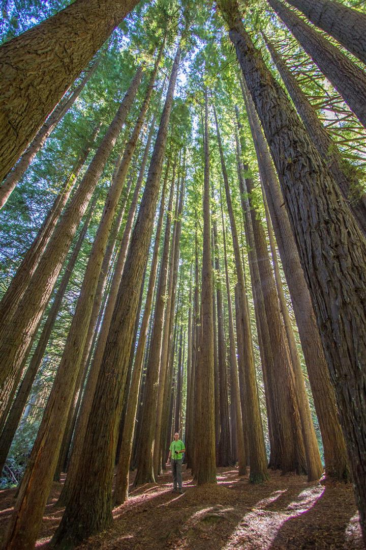
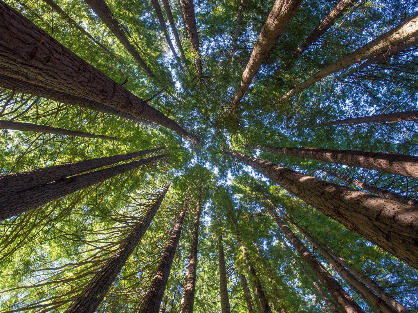
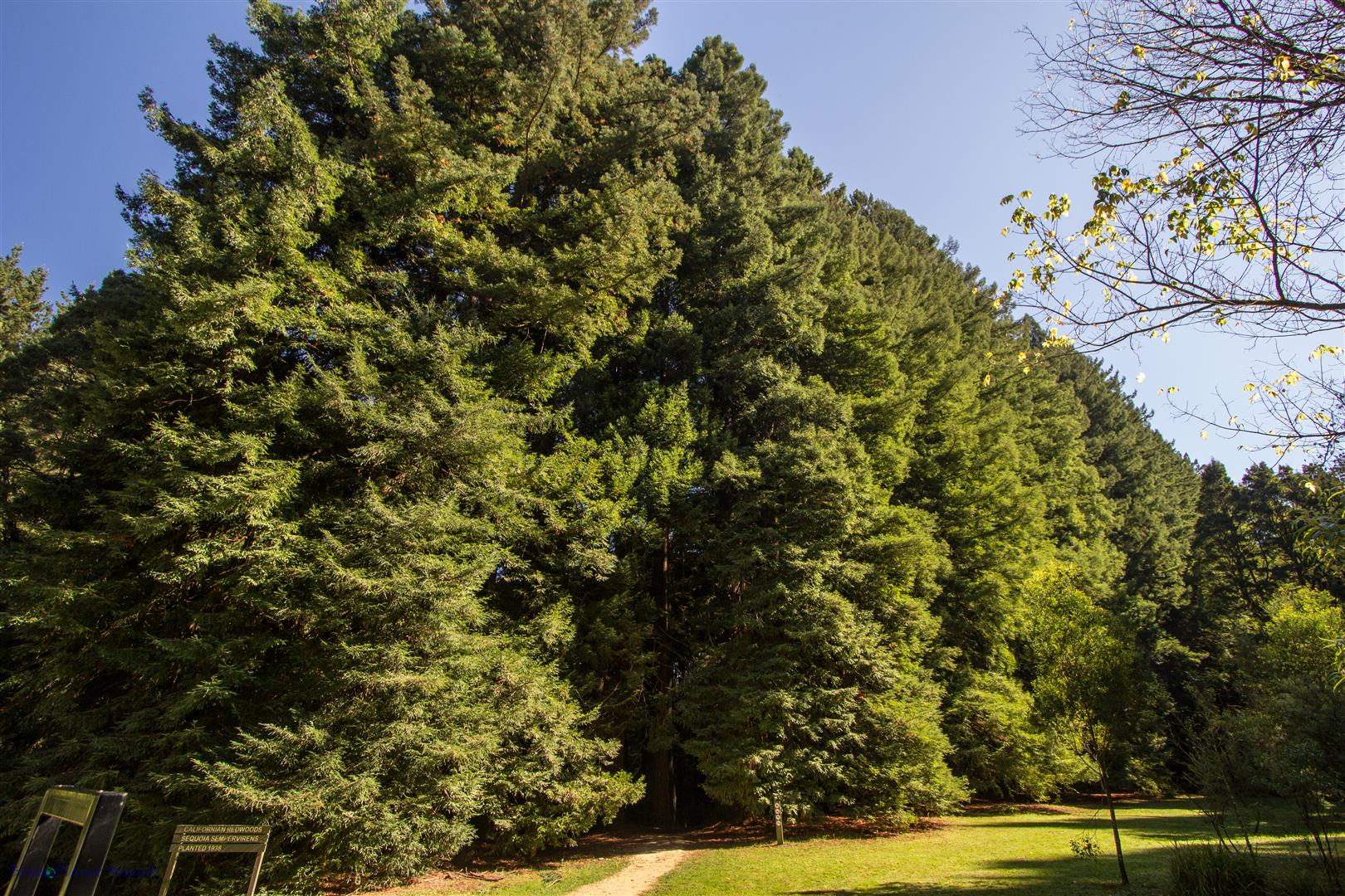
Our next stop was Beauchamp Falls but when we saw it was a good 1.5hrs return we looked at our watches and thought nope, we will give this one a miss. Before visiting our last waterfall Hopetoun we stopped by the Redwood Grove. The small grove of Californian Redwoods were planted in 1938 and have now grown to a height of around 60 meters, they were certainly impressive and we really enjoyed walking among them.
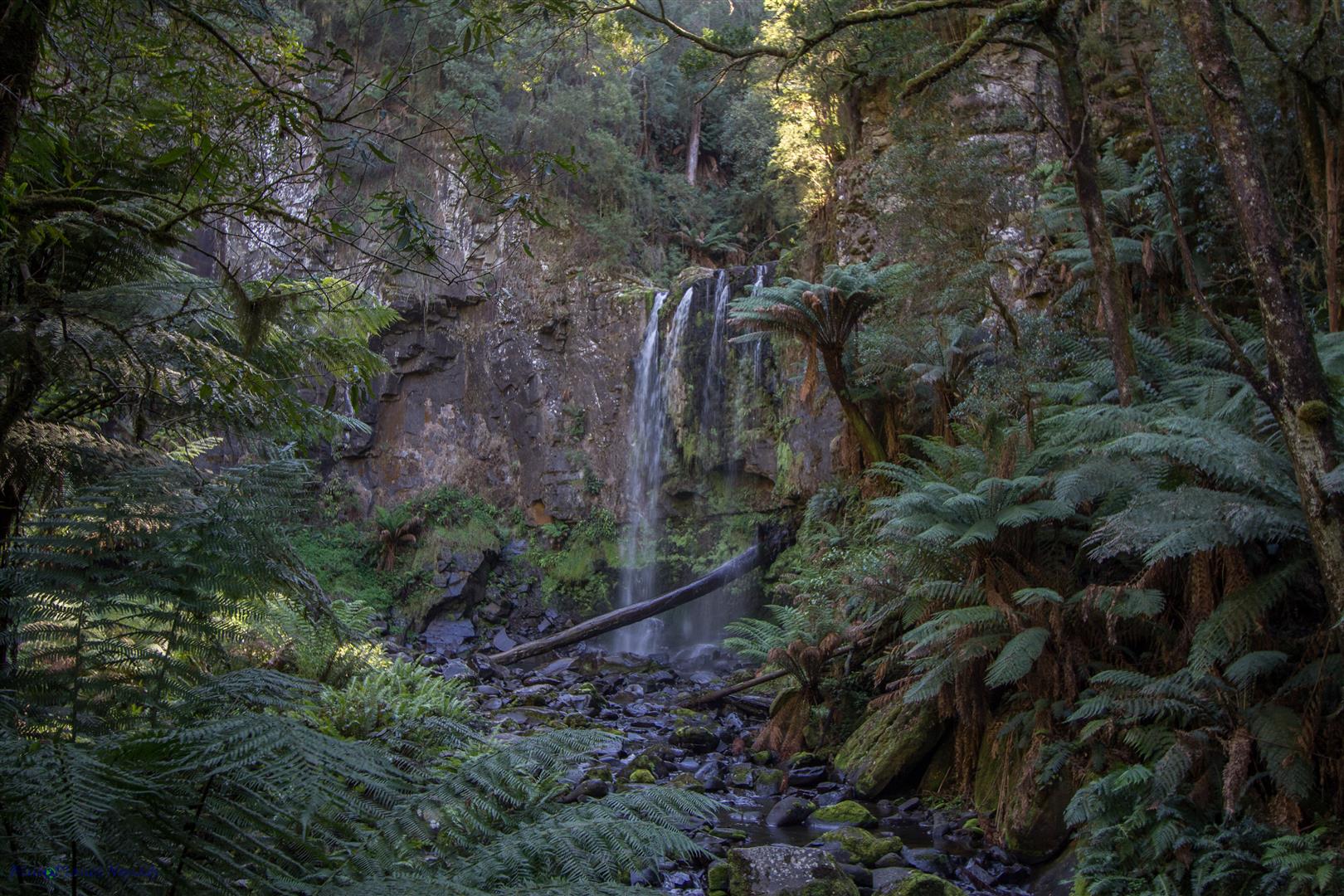
Hopetoun Falls were close by and were a fairly easy 40 mins return walk, although it’s steps all the way down and back up again! The steps take you to a platform close to the base of the falls for good viewing, we were the only ones there too :-). On the way back up we could here giggling and past a family of Asians lugging a large Esky (cooler) which must have weighed a ton! I joked with them and said “you have more than 200 steps back up!” I’m just glad we got down to the waterfall before they did 😉
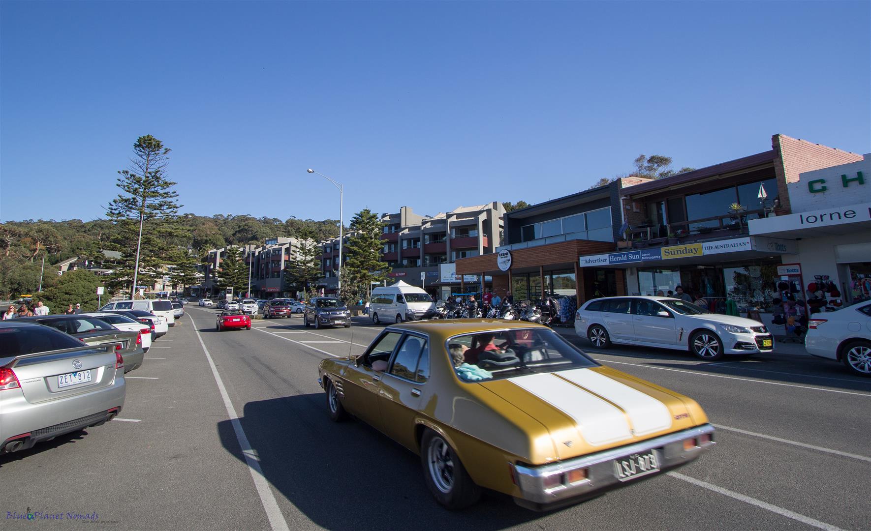
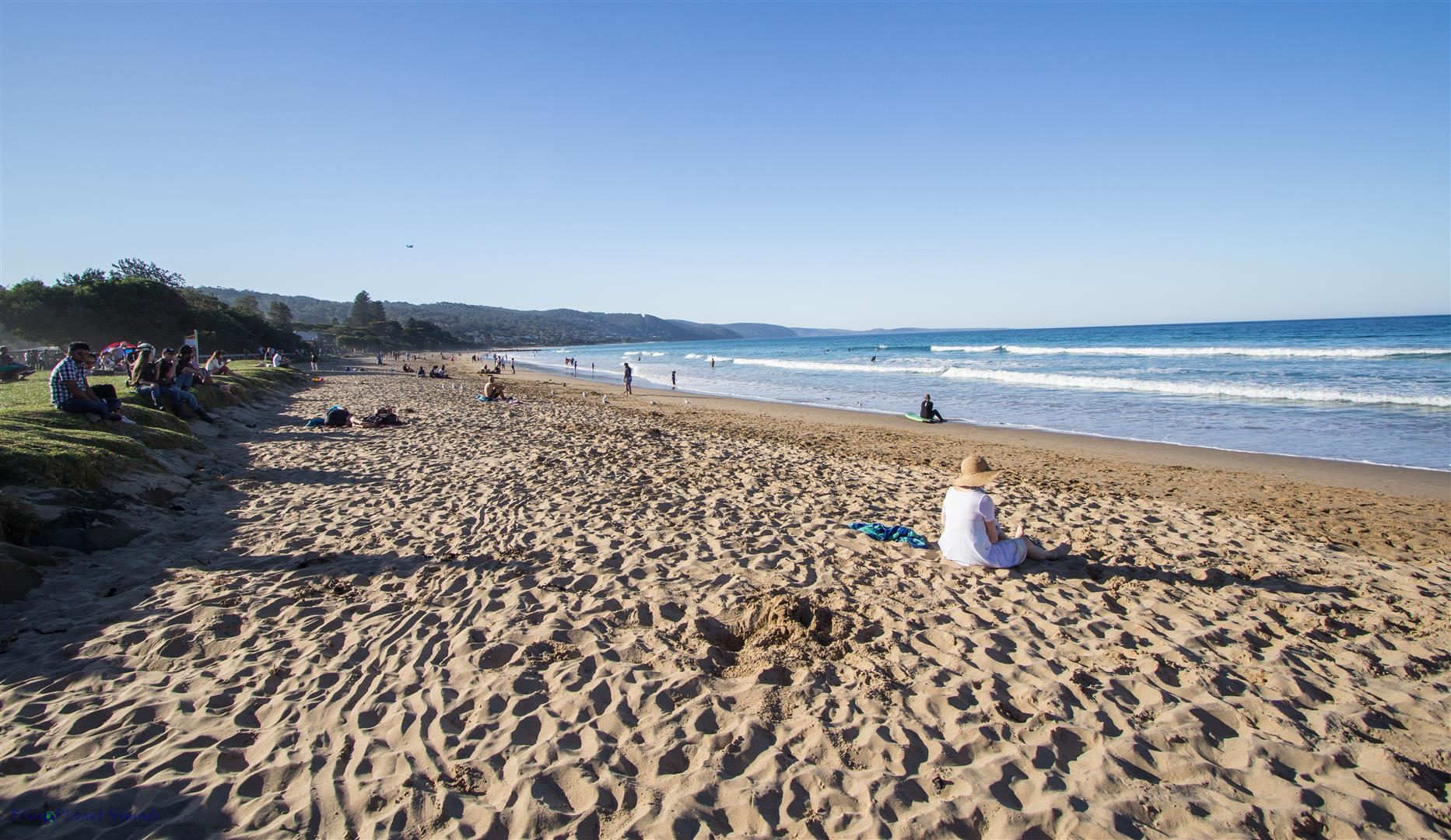
We followed the windy slow road back to meet the main Great Ocean Road and stopped at Lorne for some pizza lunch. Lorne was very busy indeed, a combination of good weather and being a public holiday. After lunch we had a quick look at the beach before getting back on the road for our long drive home back to the eastern suburbs of Melbourne.
In Summary
The Great Ocean Road stretches 270km from Torquay to Allansford, near Warrnambool with the most popular section between Torquay and Port Campbell. To see the highlights allow three days minimum but in reality you can spend a week or more enjoying what the coast has to offer.. there is plenty more to see yet!
Visted month – April 2016
If you have enjoyed the photos and would like to see more! then the complete gallery can be viewed in the Trip Photos

