[no_toc]
Poking out from Tasmania’s east coast is the rugged and beautiful Freycinet Peninsula, most of which is national park. The park is made up of jagged peaks of granite known as the “Hazards” and the small mountains of Mt Graham and Mt Freycinet which you hike over if you’re doing the 3 day walk. The park is fringed by azure bays and white sand beaches, the most photographed being Wineglass Bay, aptly named due to the bay being the shape of a wineglass! Freycinet is effectively two eroded blocks of granite separated by a sand isthmus.
Coles Bay is a small town which is mostly made up of holiday homes, caravan and camping areas and is the gateway to the park.
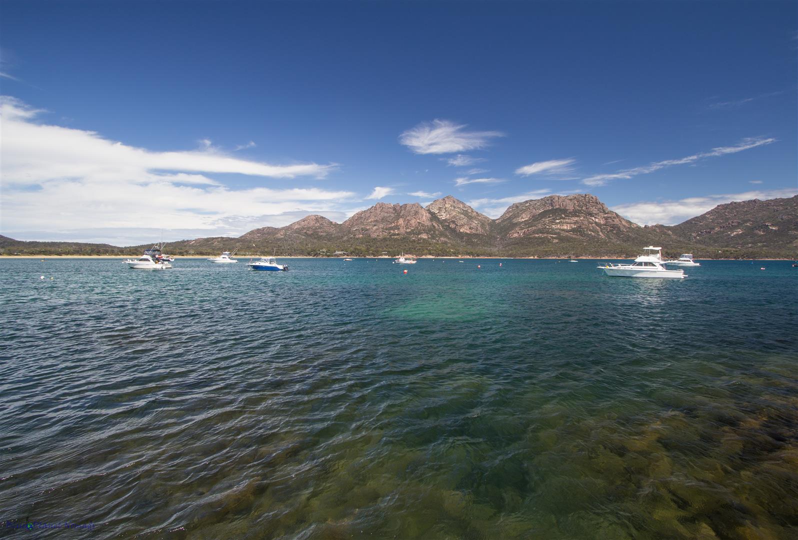
The park can be explored from both the water (boat and kayak) and on land by foot with plenty of hiking trails ranging from the 3 day pack carry covering the length of the peninsula to day hikes from short, under 2 hour treks to the longer Wineglass Bay/Hazards beach circuit which is the trek we chose to do as we only had a day. Nearly all the walks are fairly easy and so are family friendly.
Wineglass Bay/Hazards beach circuit
If the weather is good and you’re reasonably fit then this is the best day walk you can do in the park. The 11km circuit takes around 4-5 hours and incorporates most of the shorter walks. The hike is not all that difficult – the majority of it is flat. The only steep part is the climb up to the Wineglass Bay lookout.
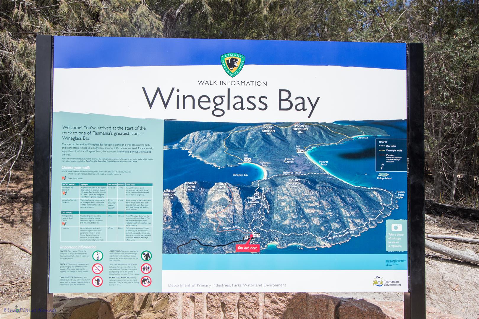

Your first port of call will be the visitor centre where you need to hand over $24 park entrance fee! The pass is good for 24 hours and covers all parks in Tasmania except for Cradle Mountain. Multi day passes are available if you are in Tassie for longer and want to explore other national parks.
Tips:
- During peak periods like summer, holidays and weekends, get there early if you want to get a good parking spot to explore the park! If you don’t, you may have a long walk back to your car 😉 During these busy periods the car park fills up quickly as does the popular route up to the lookout! If you don’t want to share your walk with the cast of thousands then start your walks before 9am!
- Take at least 2 litres of water with you on the longer hike, we only took one litre plus a small fruit juice and and were on rations on our last leg!
- Pack bug spray as there are Mosquitoes and even worse March flies.
- Pack sun screen and a hat, with the hole in the ozone the sun bites hard in Tassie!
The car park is a few minutes drive from the visitors centre and is your starting point for the trails. You don’t need a map, (although you can pick one up from the visitor centre,) the trails are very well marked and laid out, the most popular track up to the lookout is well defined path with man-made steps.
Car Park to Wineglass Bay Lookout – 30 – 45 mins
The track to the lookout starts out flat on a wide compact gravel trail with a gradual climb to your first views over Coles Bay (there is a lookout half way up). The walk takes you through some lovely Eucalypt forest and Coastal Banksia scrub.
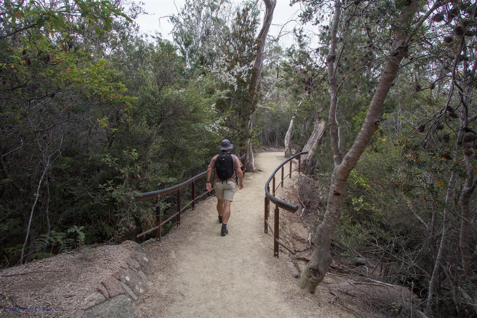
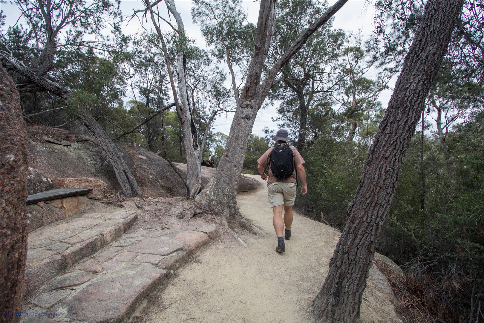
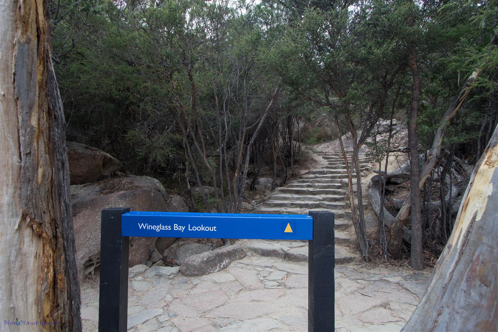
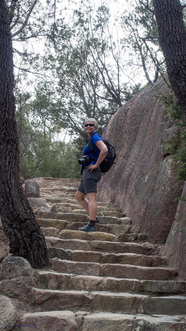
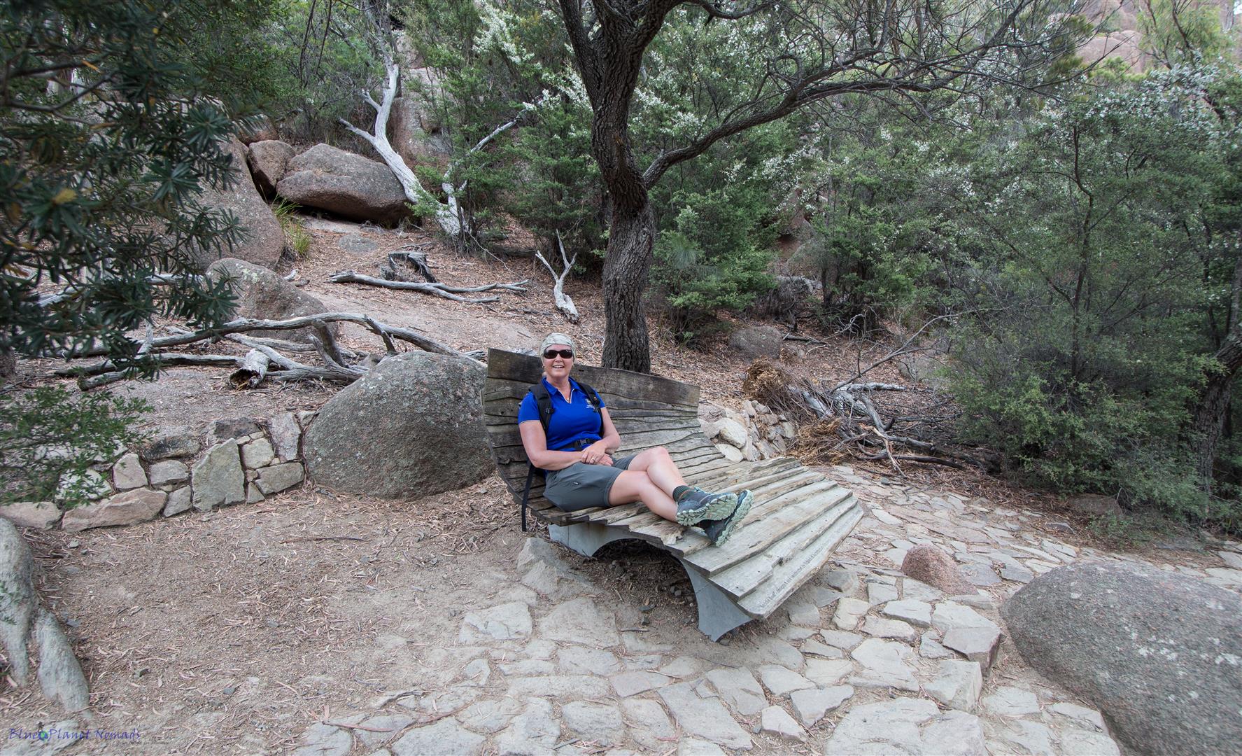
After the first lookout it continues on flat then it’s a fairly steep climb up well defined man made steps to the Wineglass Bay lookout. If you need to rest any time on the climb up, the Tasmanian Parks & Wildlife Service has kindly provided some seating!
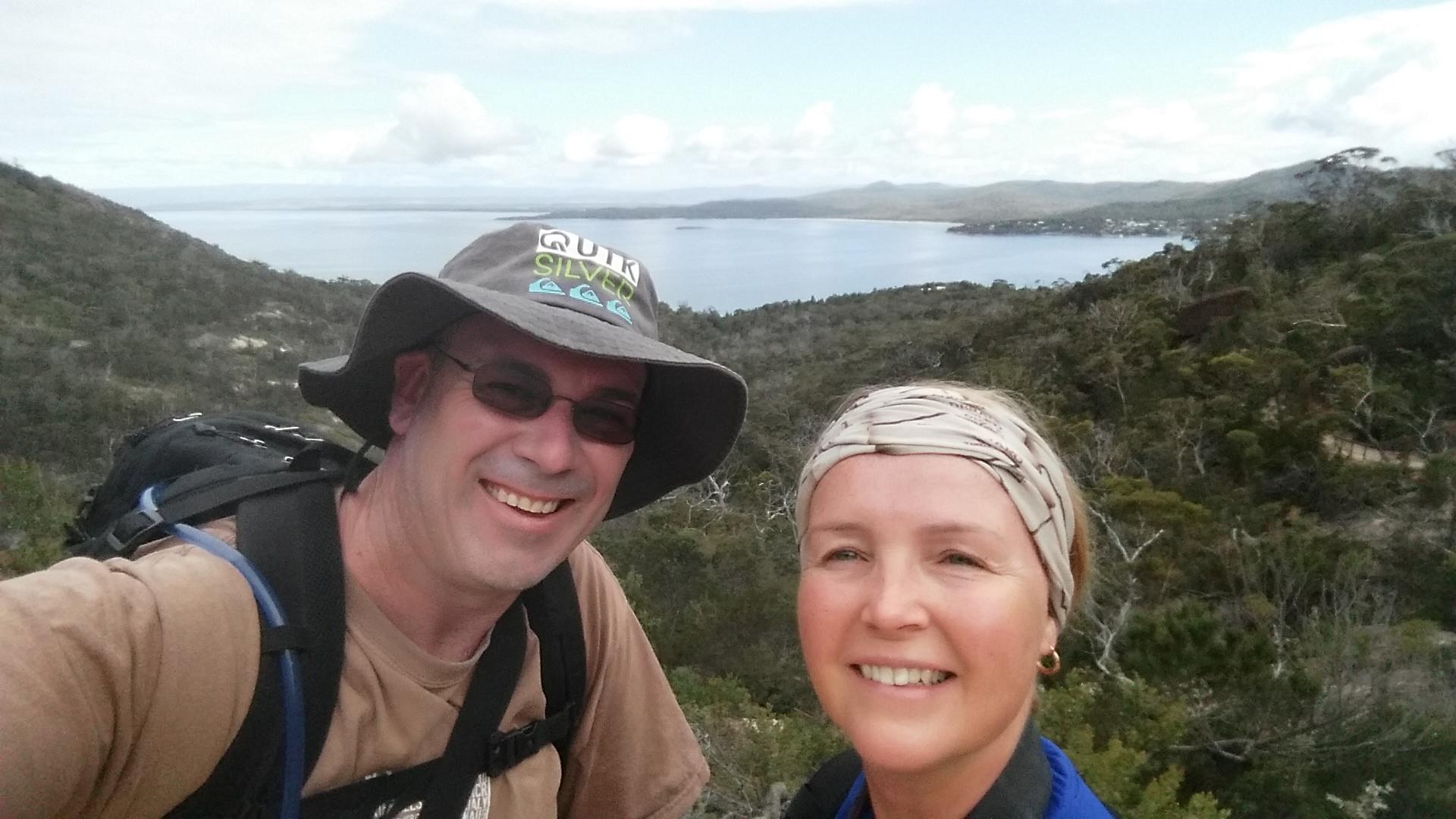
The lookout provides some exceptional views over Wineglass Bay as well as Mt Graham and Mt Freycinet and the sand isthmus in between. This section of the walk is the busiest and most visitors to Freycinet will only walk to the lookout and back.
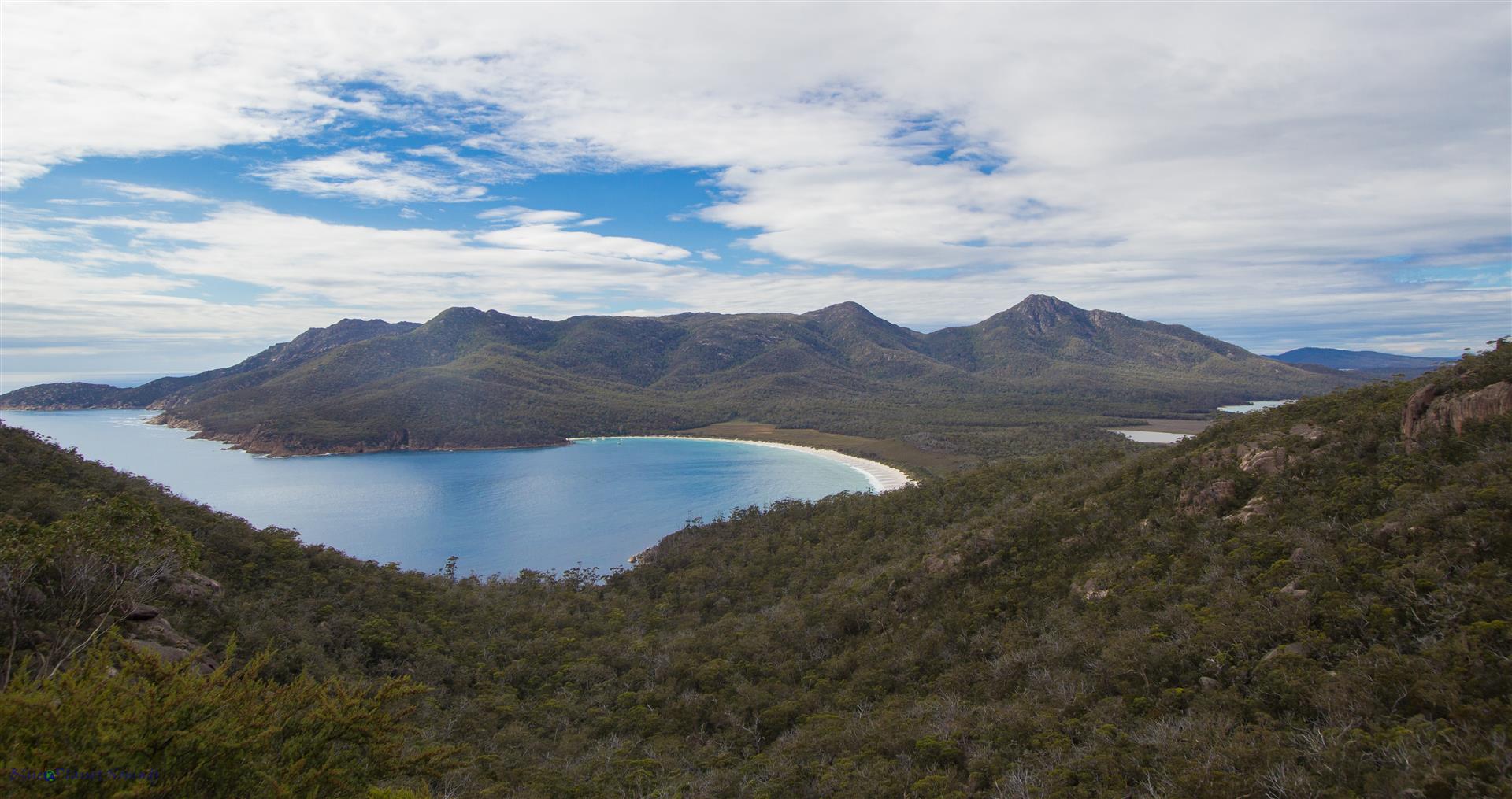
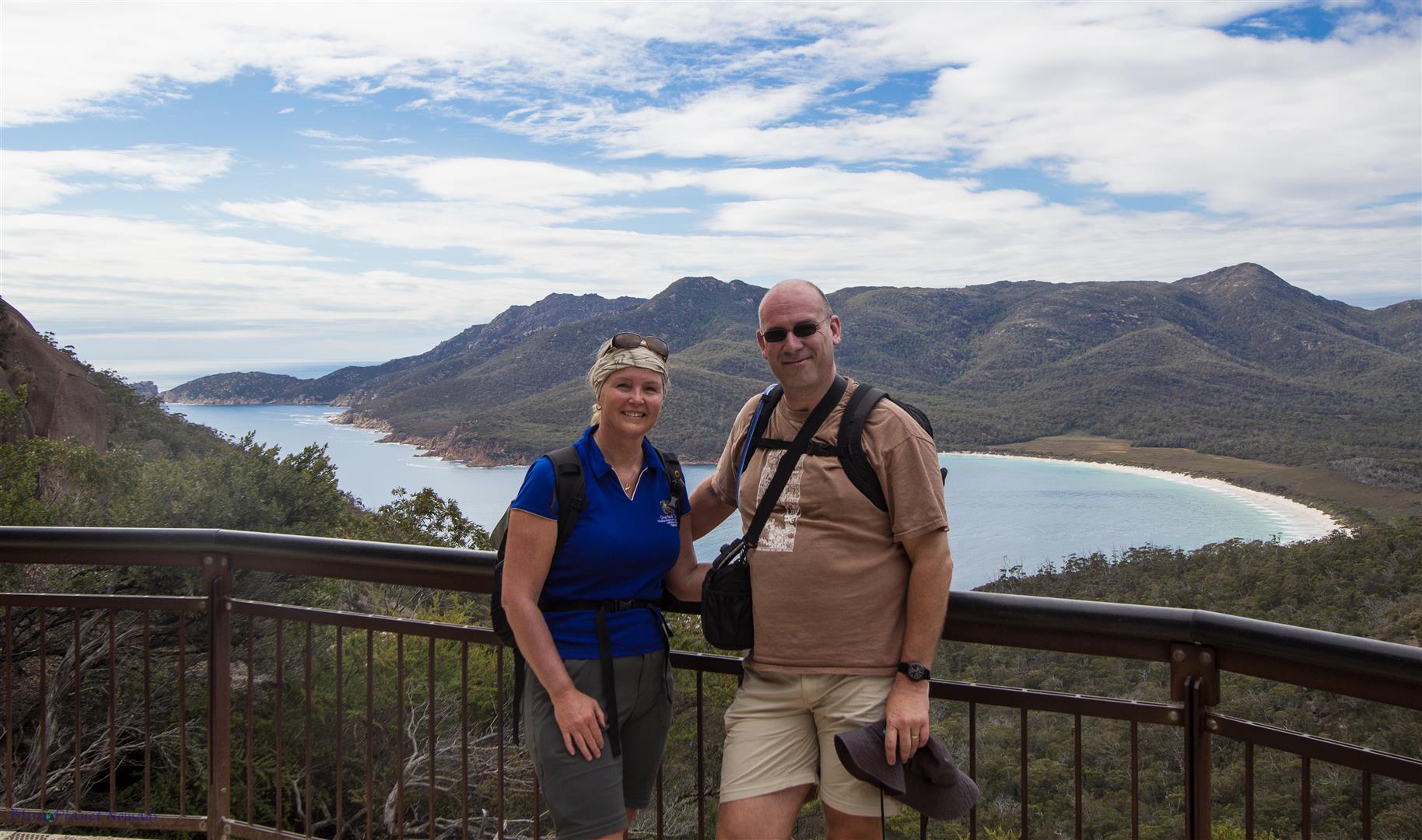
Wineglass Bay lookout to Wineglass Bay Beach – around 30 minutes
From the lookout you make your way back down the trail around 20 meters until you reach the junction with a signpost to Wineglass Bay beach. This section is rough steepish downhill which flattens out as you near the beach. The steps down are not defined steps but rocks and tree roots so you need to be mindful of your footing!
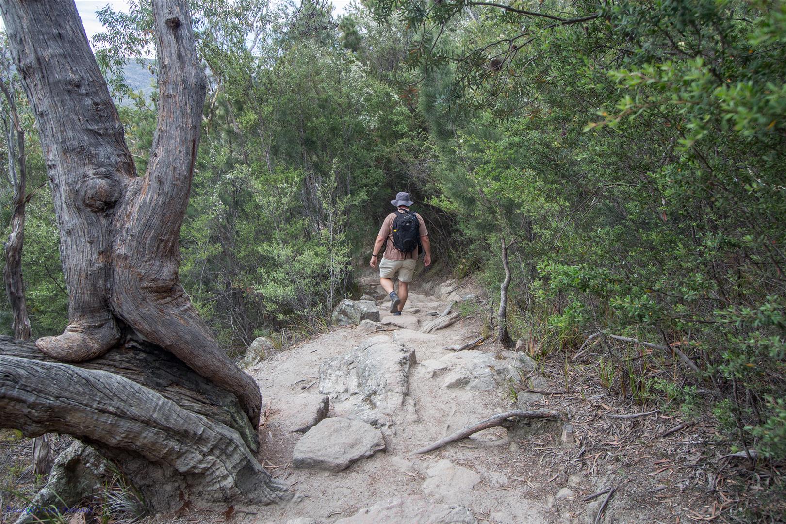
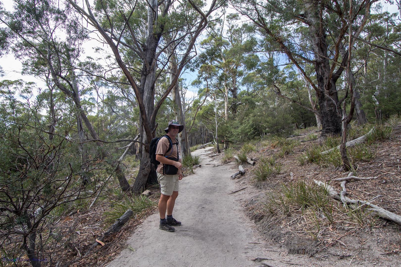
The track brings you to the beautiful white sand beach of Wineglass Bay. If you doing the multi-day walk then you would continue along the beach to the far end to your first nights camp. We stopped here for a break and enjoyed the beach and ocean. It’s not really safe for swimming at the track entrance end of the beach (maybe at the camp site end), there is quite an undertow and the waves seemed a bit rough at times, besides its probably freezing!
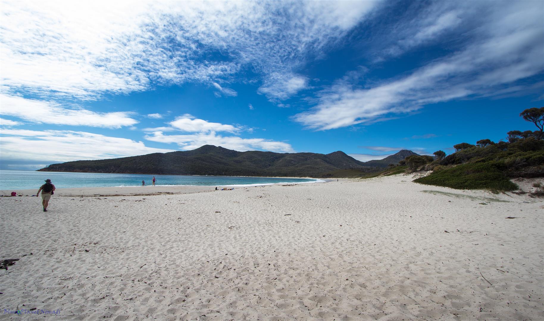
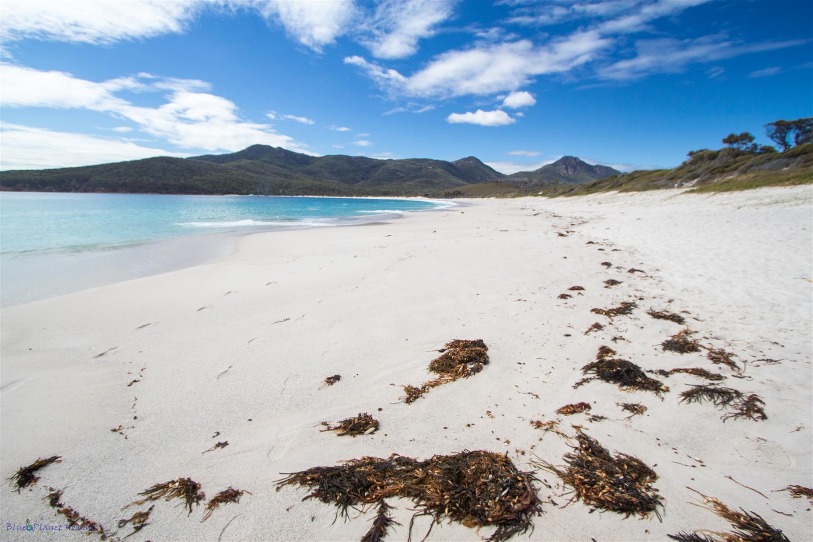
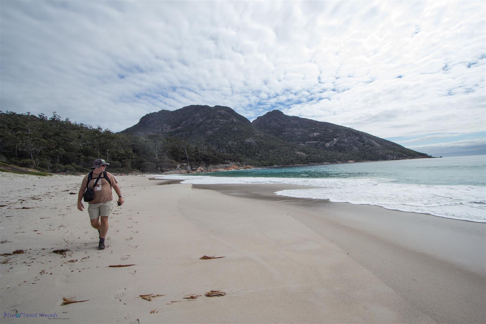
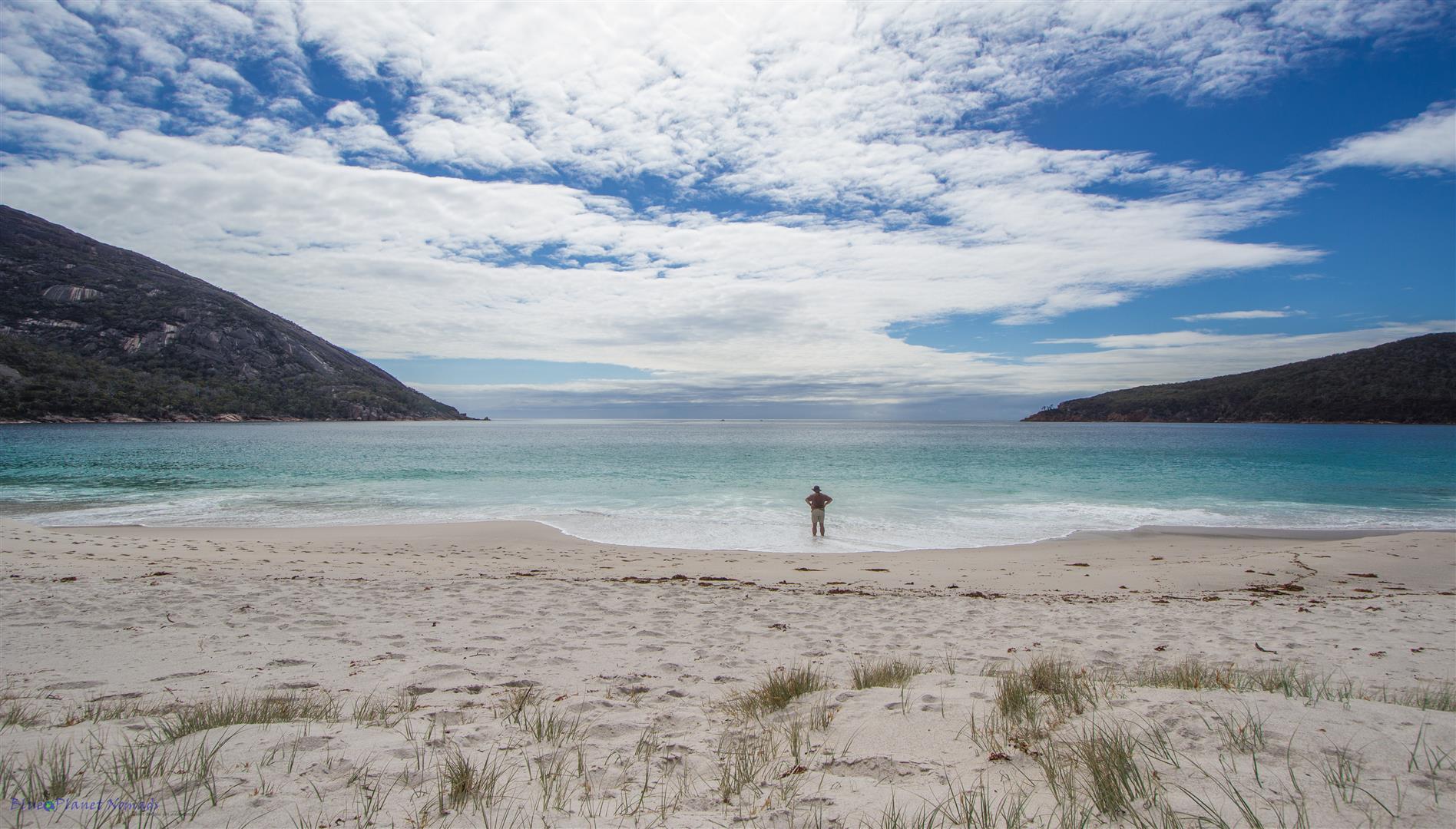
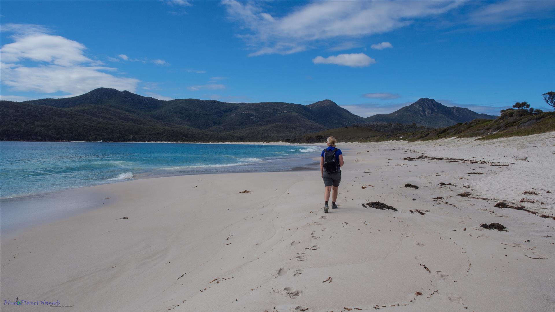
Wineglass Bay to Hazards Beach – around 45 mins
Back where you enter the beach is the track to Hazards Beach. It’s an easy flat walk crossing the isthmus, the only steep bit is clambering up the dune at the end to get onto the beach. The walk is lovely through Banksia, She-Oak and coastal gum forest and the boardwalk across the lagoon is delightful.
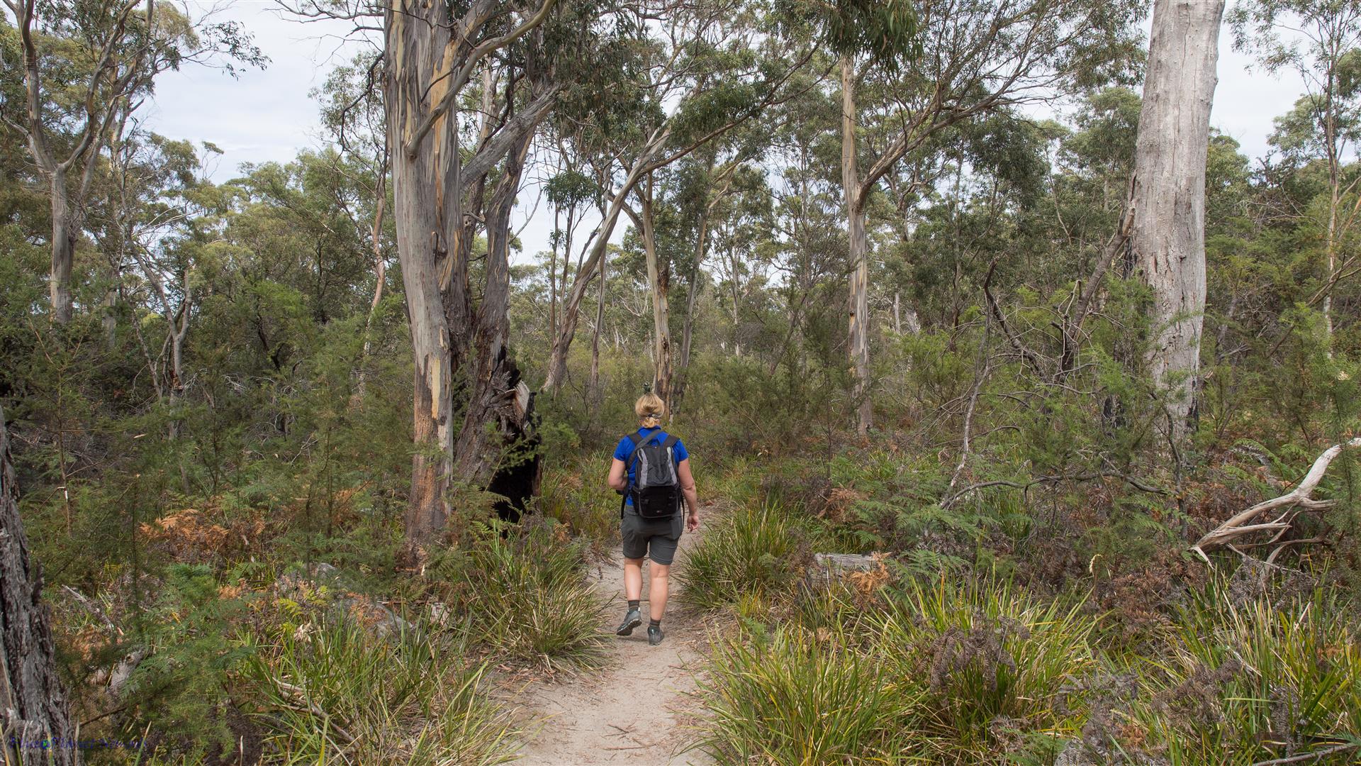
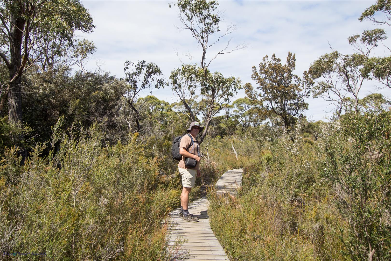
Hazards Beach is a very different beach from Wineglass, its sand is more golden and sea more calm. It’s definitely more inviting for a swim, in fact it was a warm day and I wish now I had packed my swimsuit! We trekked to the end of the beach, found ourselves a nice rock and had lunch.
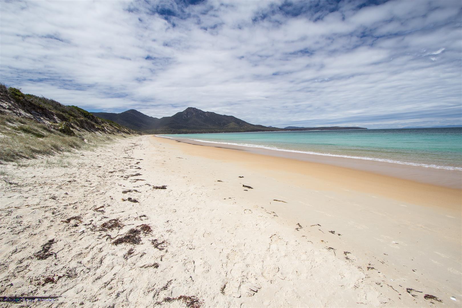
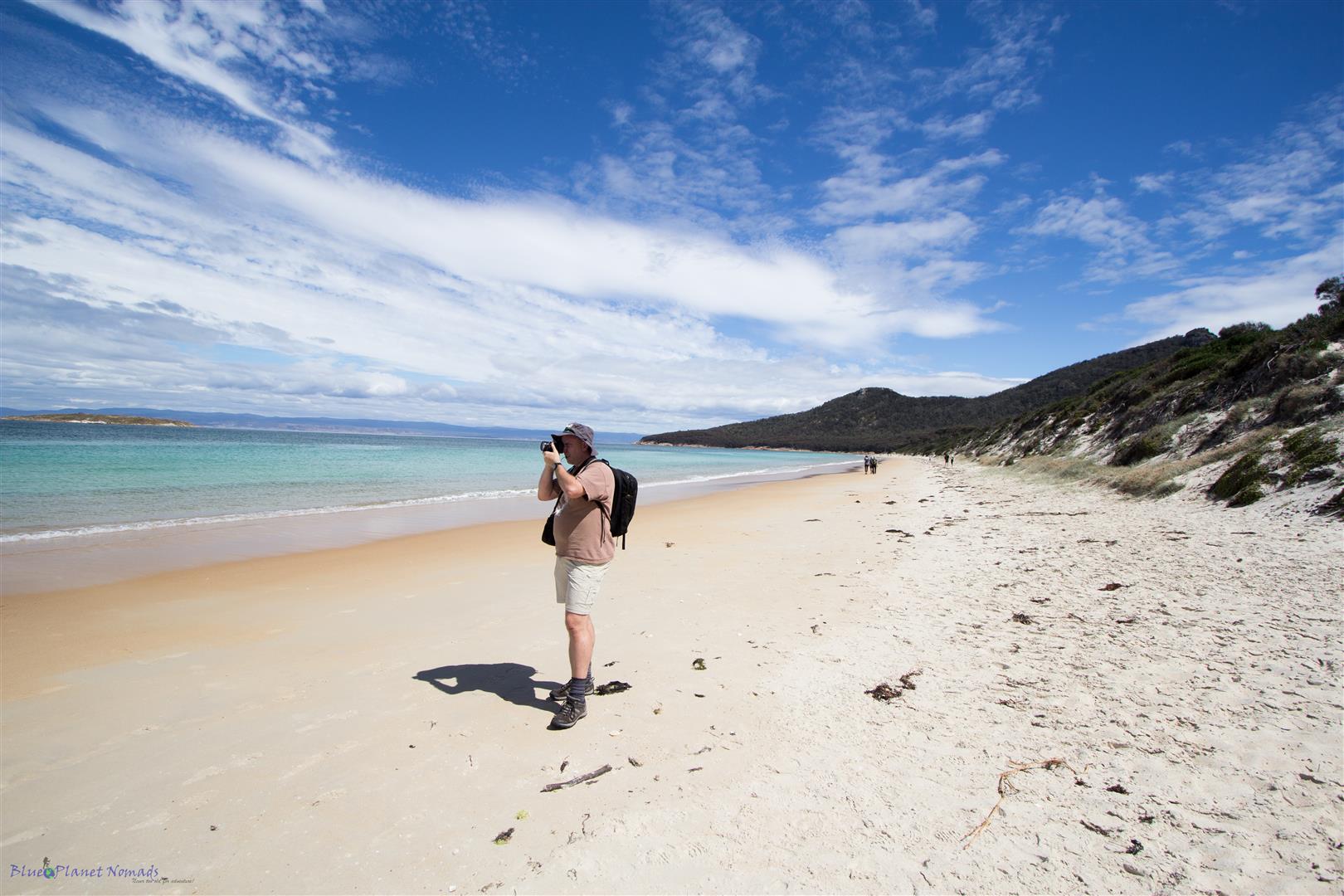
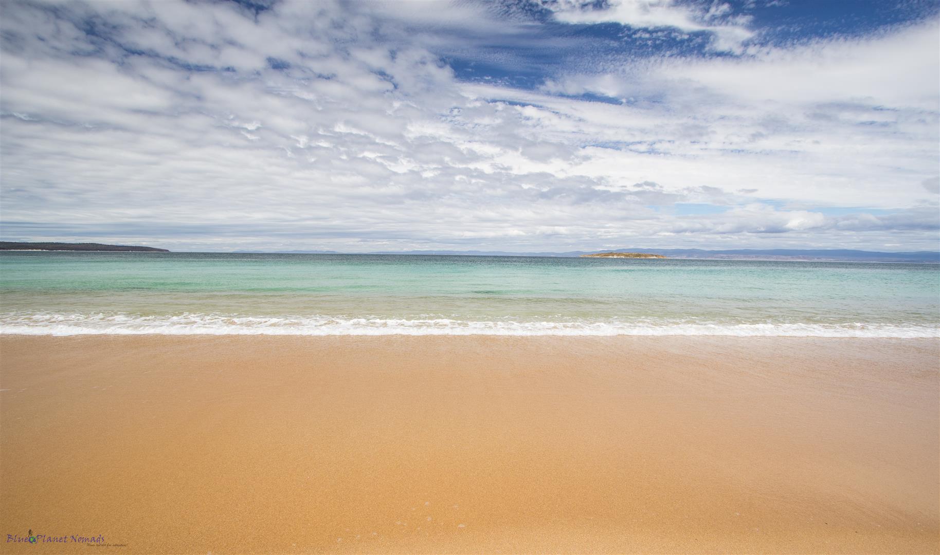
Hazards Beach back to the Car Park – 2.5 hours from end of Hazard Beach
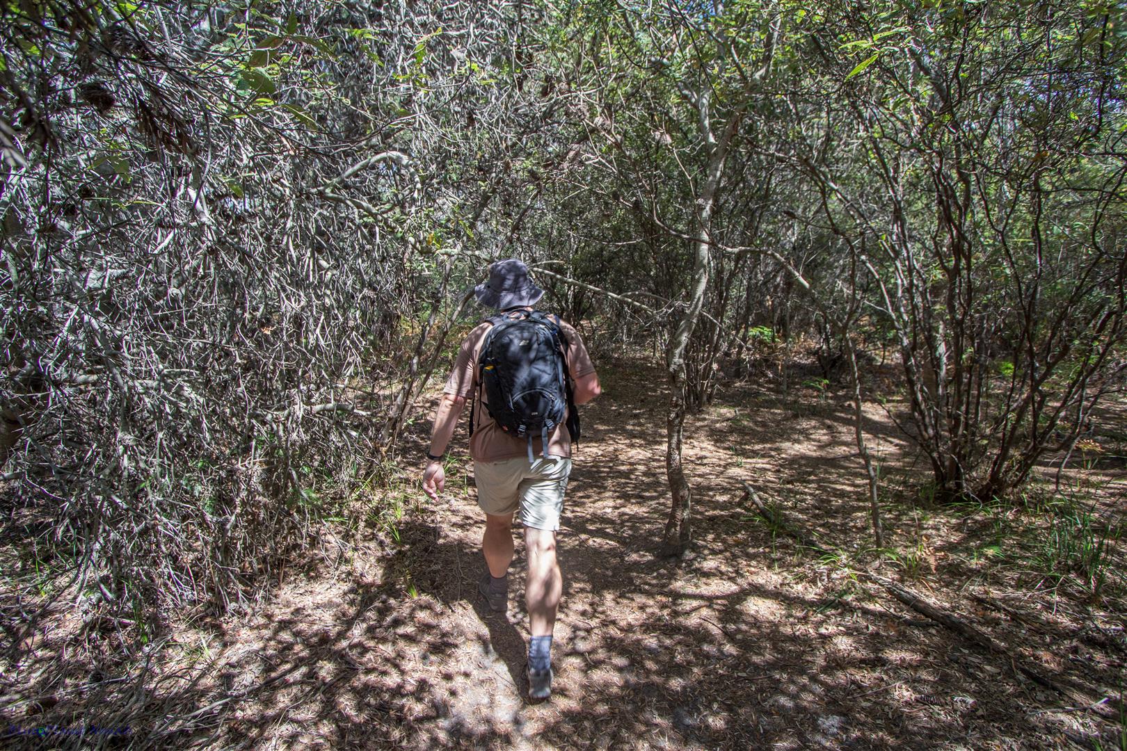
This part of the walk follows the peninsula coastline back to the car park. It’s a lovely part of the walk and affords you some spectacular views. It’s slightly undulating but for most it’s fairly flat and easy. As you leave the beach you walk through some gnarly blackened She-Oak forest (maybe from past fires) with views out to more smaller bays.
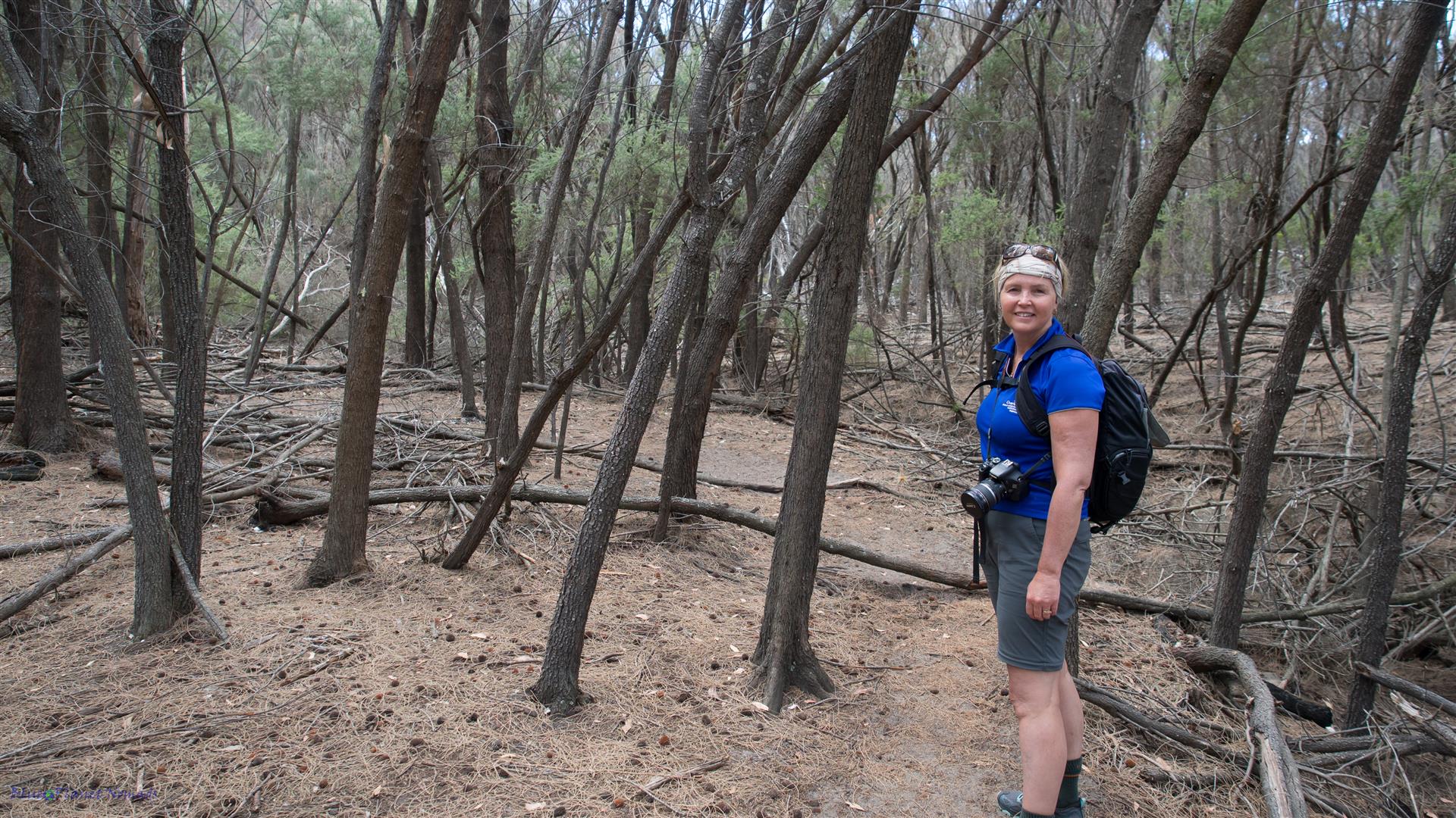
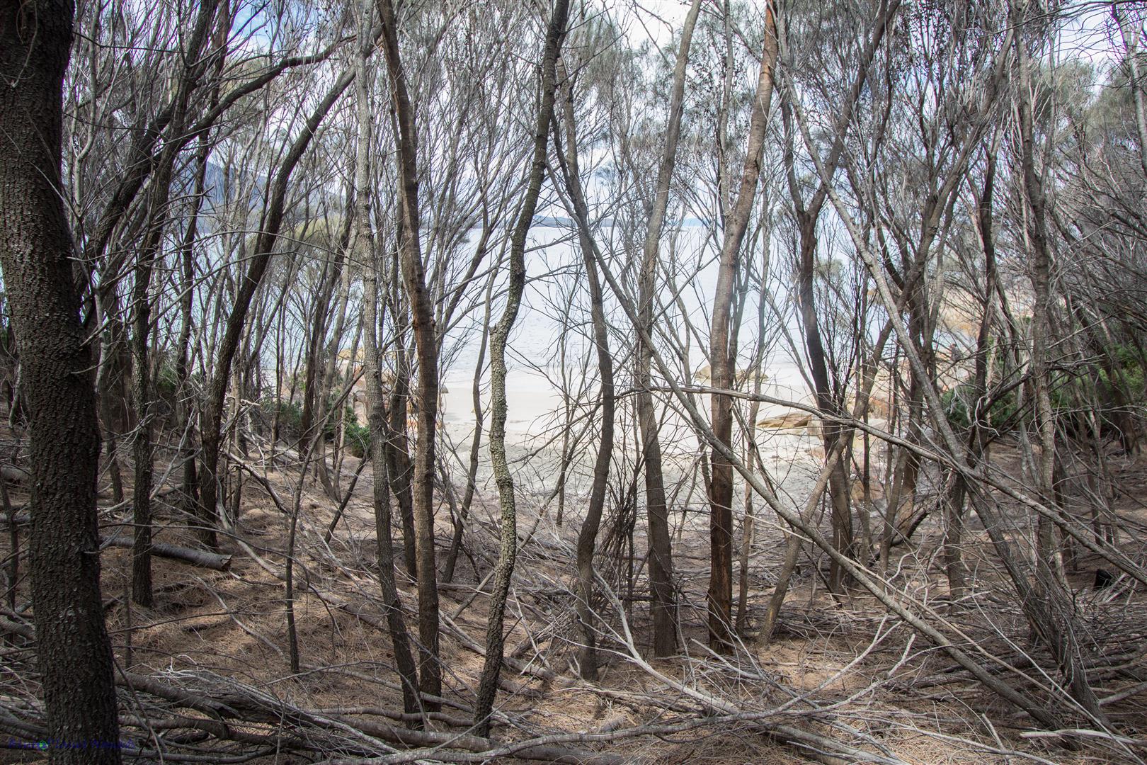
An opening takes you to a little bay where you can get some good photos of the length of hazard beach.
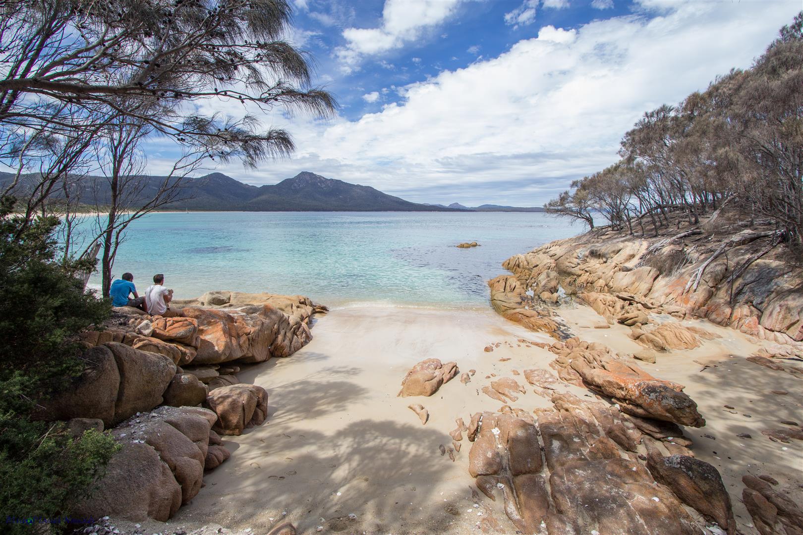
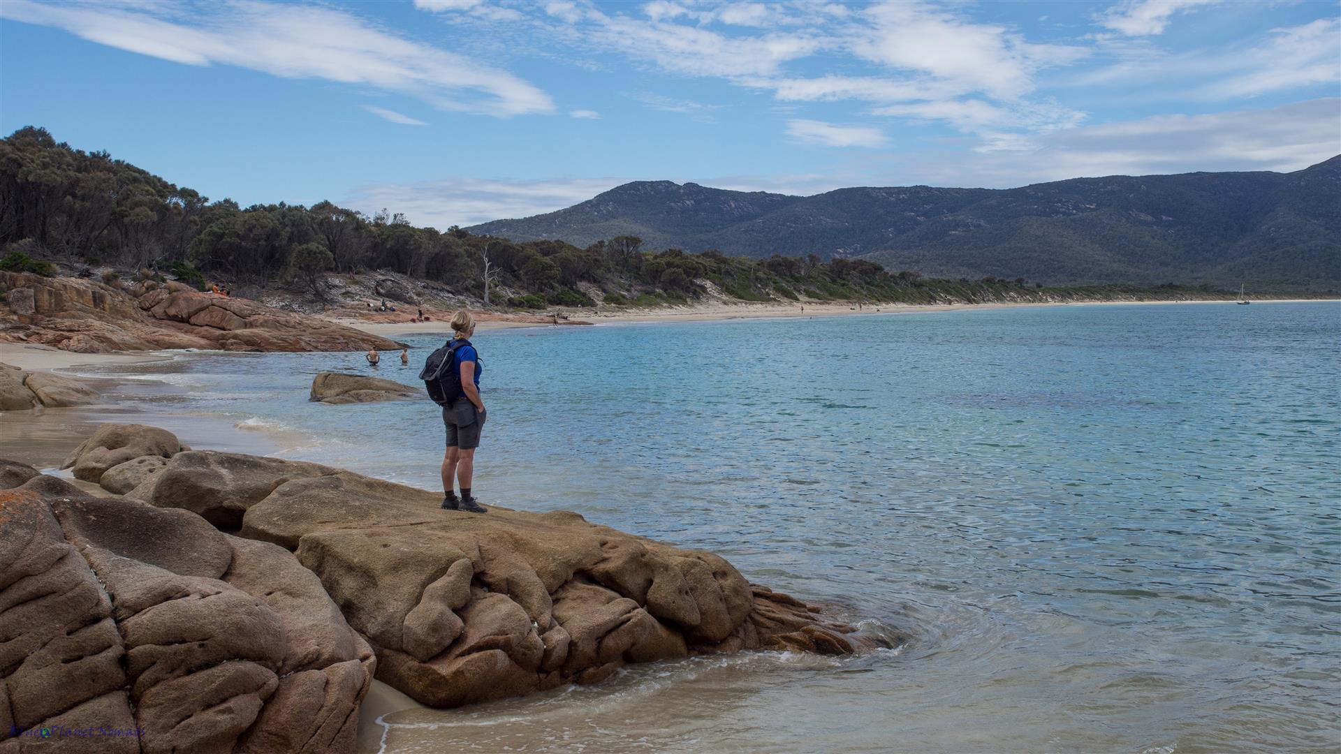
A steady climb then sets you on the trail following the coastline with a mixture of coastal woodland and open scrub. Eventually you will meet the junction with the track up to Wineglass Bay lookout. From there its a short 10 minute stroll back to the car park.
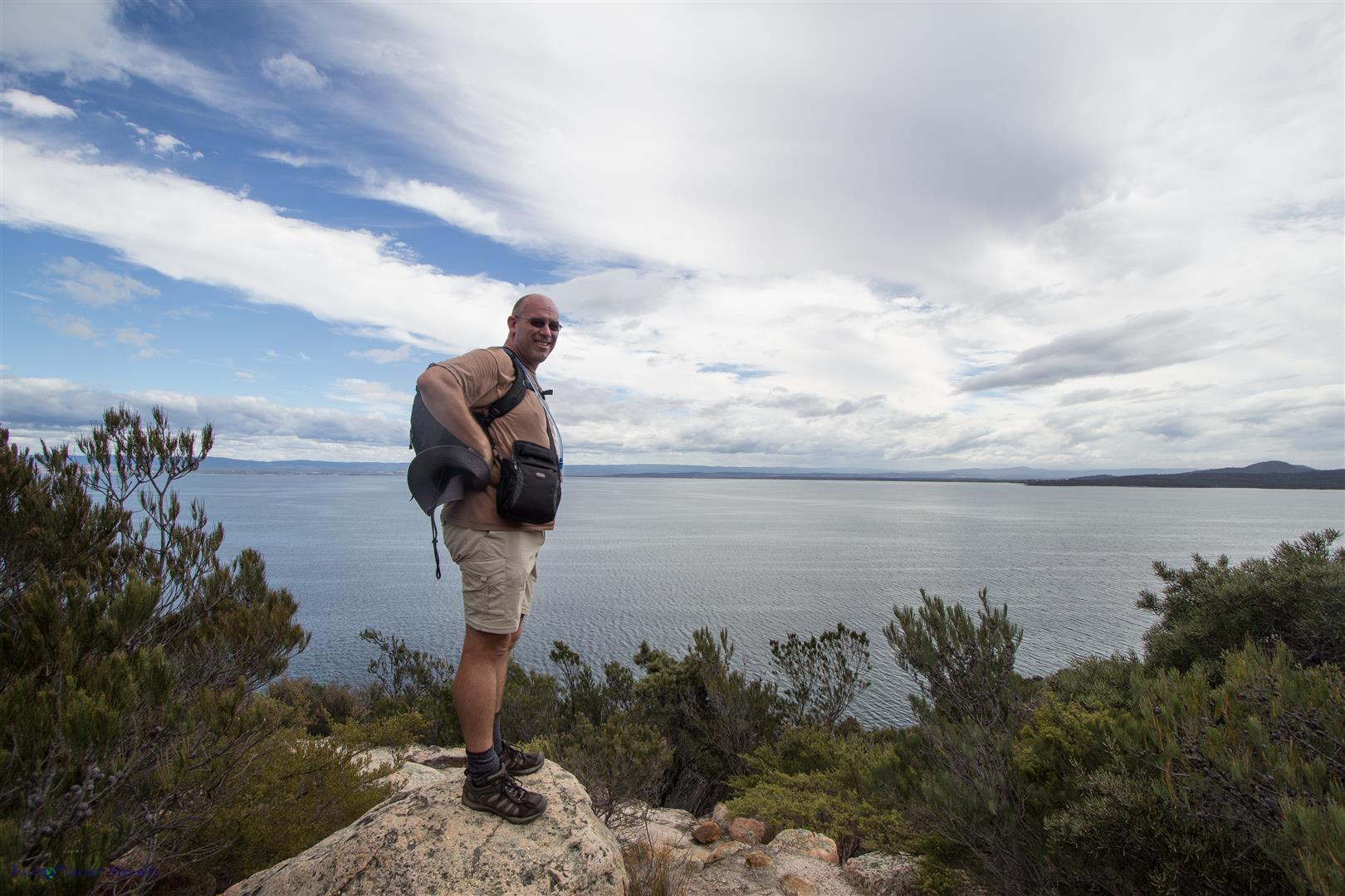
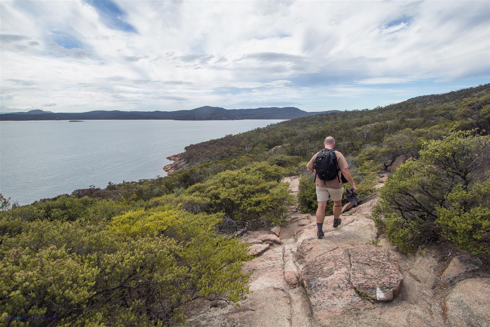
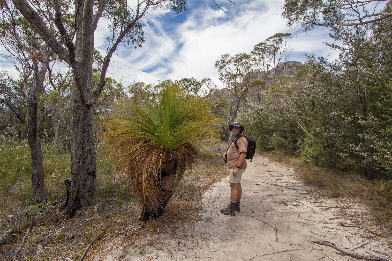
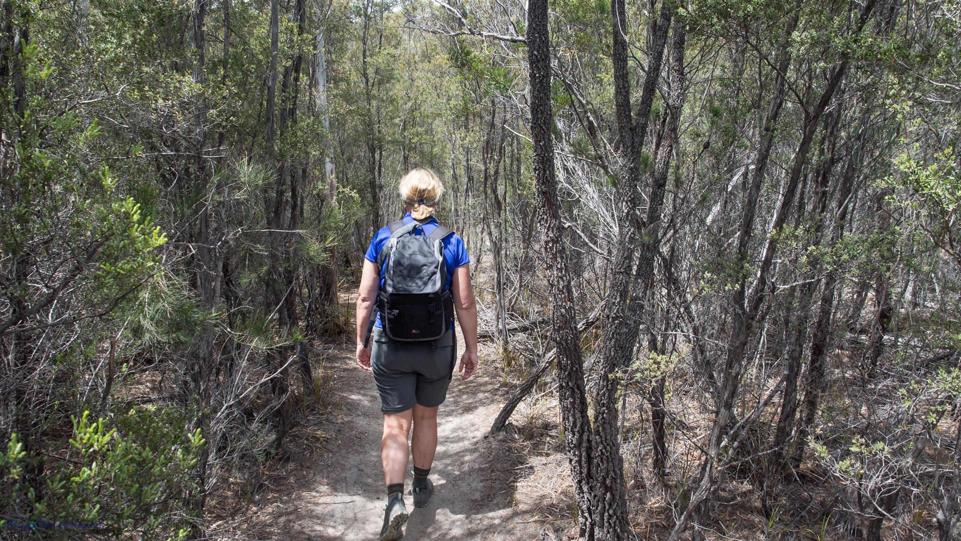
We completed the walk in under 5 hours with breaks at both beaches. Overall we thoroughly enjoyed the walk, its not too difficult and the scenery is magnificent with two beautiful beaches and a variety of vegetation. It reminded me very much of Wilsons Promontory, another beautiful coastal park off Victoria’s southern coast.
Others things to see..
While you have a day pass and have time to spare then I suggest visiting these places:
Cape Tourville
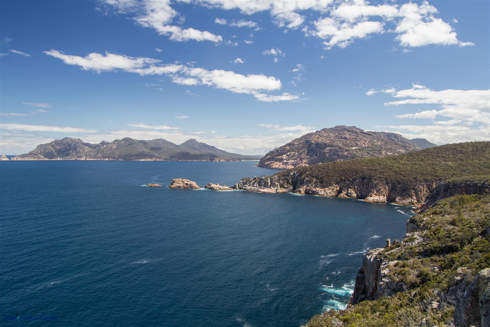
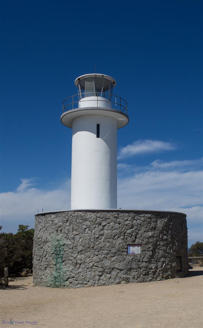
A 6.4 kilometre sealed road takes you to Cape Tourville. It’s worth a look with its short boardwalked track around the cliff line to the lighthouse. You also get views of the peninsula looking towards the entrance to Wineglass Bay.
Friendly Beaches
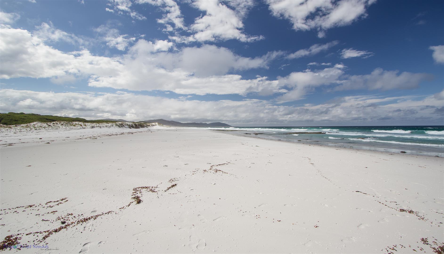
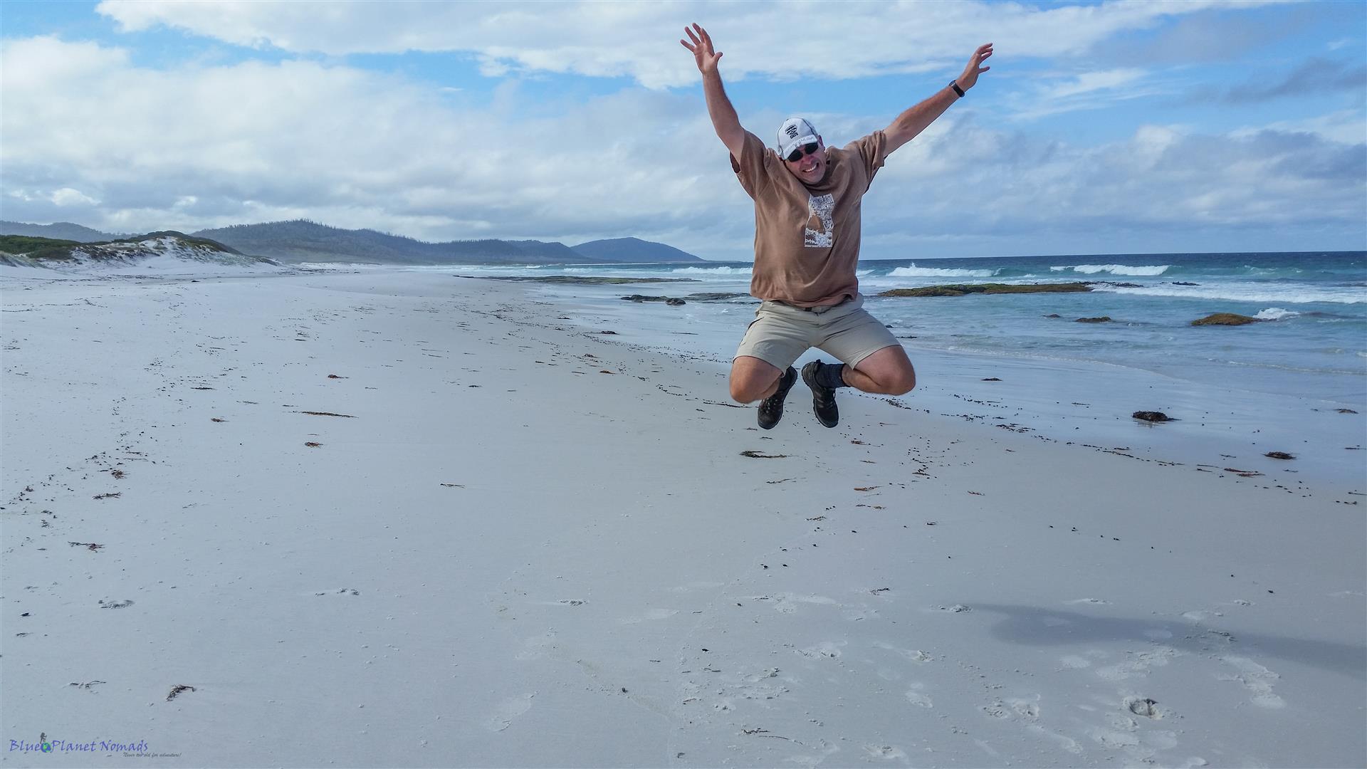
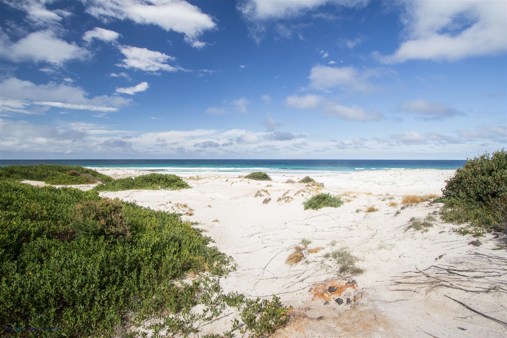
Miles of unspoiled white sand and turquoise sea is what Friendly Beaches is all about 🙂 On a hot day it’s a nice place to spend some time.
Mt Amos
If are still feeling particularly energetic after a 11k hike and have 3 hours or more to spare then there is always the stiff climb up to Mt Amos! We gave it a miss 😉 The climb up to the granite peak is reputed to be quite strenuous but rewards you with amazing views over the park. It is not recommended to be done in or after wet weather as the scramble up can be slippery.
If you want to know more about climbing Mt Amos then Tracks Less Travelled have done an excellent post on How to Summit Mt Amos
Longer/Overnight Walks
Having spent the day in the park and sampled its beauty without a doubt we will be back to do some overnight hiking. You can do the popular 3 day walk which takes in the one day circuit except for the crossing between Wineglass Bay and Hazard Beach. Another popular overnight walk is following the coastline to Hazards (the last part of the circuit walk) and continuing on to camp at Cooks Beach. From Cooks you can then reach the more remote Bryan’s Beach.
The overnight walks require you to carry all your gear including tent and only some camp sites have water. The National Parks website can provide more information on these walks.
Getting to Freycinet…
Basically your own transport is your best bet! Other than that, the following public transport companies can get you there:
Once you’re on the East Coast then Bicheno Coaches offer transport between Bicheno / Swansea / Coles Bay and Freycinet National Park
If you’re flying in from the mainland to do just overnight hiking then a coach transfer is probably your best bet, this is what we used when we did the Overland Track.
Where to stay…
There is plenty of options in Coles Bay from camping to self contained cottages. Just up the road about 20 minutes north is the larger coastal town of Bicheno which has more options with eating out. We based ourselves in Bicheno in a lovely Airbnb (Sea and Sky Cabins) as it was a good base to explore the East Coast.
Visited: January 2016
If you have enjoyed the photos and would like to see more! then the complete gallery can be viewed in the Trip Photos

I have spent time around Wineglass Bay but not the long hike. Perhaps next time. The photos are really lovely but we do not expect anything less. Good job!!!